MyTopo
Indian Pond North Maine US Topo Map
Couldn't load pickup availability
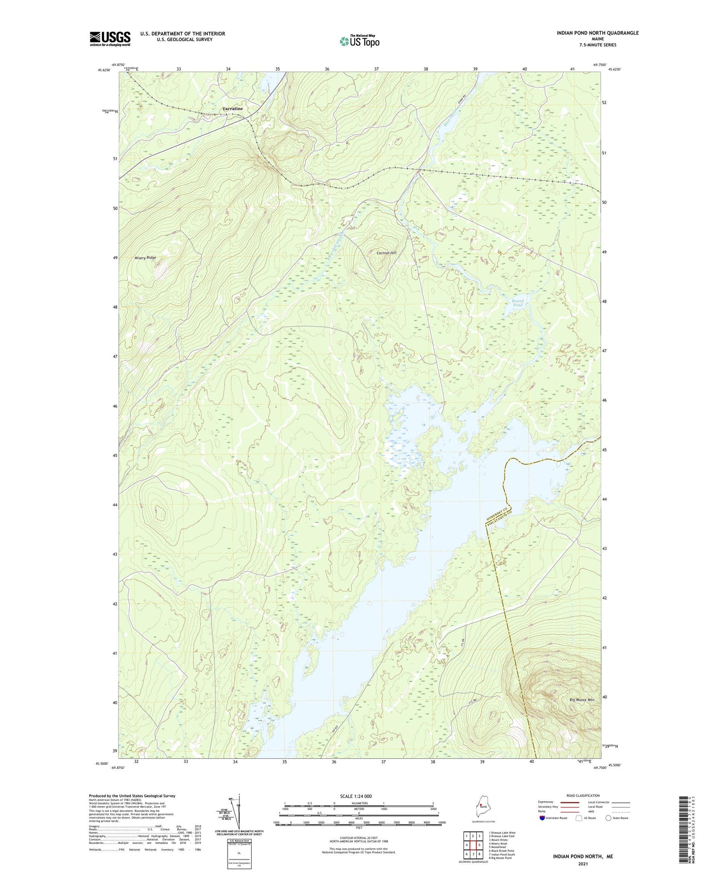
2024 topographic map quadrangle Indian Pond North in the state of Maine. Scale: 1:24000. Based on the newly updated USGS 7.5' US Topo map series, this map is in the following counties: Somerset, Piscataquis. The map contains contour data, water features, and other items you are used to seeing on USGS maps, but also has updated roads and other features. This is the next generation of topographic maps. Printed on high-quality waterproof paper with UV fade-resistant inks.
Quads adjacent to this one:
West: Misery Knob
Northwest: Brassua Lake West
North: Brassua Lake East
Northeast: Mount Kineo
East: Moosehead
Southeast: Big Moose Pond
South: Indian Pond South
Southwest: Black Brook Pond
This map covers the same area as the classic USGS quad with code o45069e7.
Contains the following named places: Bog Brook, Burnham Brook, Churchill Stream, Cornish Farm, Cornish Hill, East Outlet, Gold Brook, Indian Pond, Indian Stream, Little Indian Stream, Misery Gore Township, Round Pond, Sapling Township, Somerset Junction, Stag Brook, Tarratine, West Outlet