MyTopo
Indian Pond South Maine US Topo Map
Couldn't load pickup availability
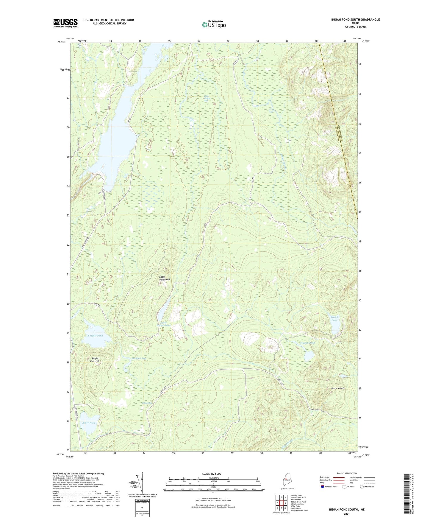
2024 topographic map quadrangle Indian Pond South in the state of Maine. Scale: 1:24000. Based on the newly updated USGS 7.5' US Topo map series, this map is in the following counties: Somerset, Piscataquis. The map contains contour data, water features, and other items you are used to seeing on USGS maps, but also has updated roads and other features. This is the next generation of topographic maps. Printed on high-quality waterproof paper with UV fade-resistant inks.
Quads adjacent to this one:
West: Black Brook Pond
Northwest: Misery Knob
North: Indian Pond North
Northeast: Moosehead
East: Big Moose Pond
Southeast: Bald Mountain Pond
South: Moxie Pond
Southwest: The Forks
This map covers the same area as the classic USGS quad with code o45069d7.
Contains the following named places: Alder Stream, Baker Pond, Brandy Brook, Burnt Nubble, Coburn Brook, Elbow Bog, Falls Brook, Frypan Pond, Harris Dam, Harris Dike, Indian Stream Township, Knights Pond, Knights Pond Hill, Little Indian Bog, Little Indian Hill, Little Indian Pond, Round Pond, Scribner Bog, Squaretown Township, Trout Stream