MyTopo
Saint Francis Maine US Topo Map
Couldn't load pickup availability
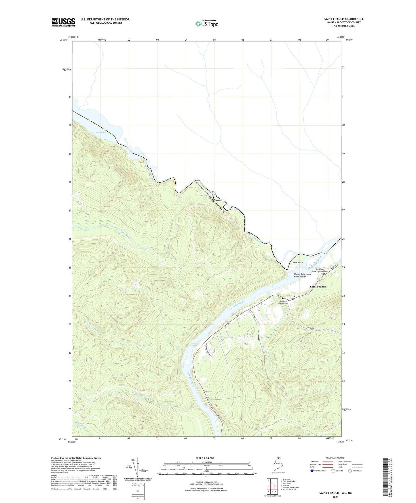
2024 topographic map quadrangle Saint Francis in the state of Maine. Scale: 1:24000. Based on the newly updated USGS 7.5' US Topo map series, this map is in the following counties: Aroostook. The map contains contour data, water features, and other items you are used to seeing on USGS maps, but also has updated roads and other features. This is the next generation of topographic maps. Printed on high-quality waterproof paper with UV fade-resistant inks.
Quads adjacent to this one:
West: Falls Brook Lake
Northwest: Beau Lake
East: Saint John
Southeast: McLean Mountain
South: Pelletier Brook Lakes
Southwest: Allagash
This map covers the same area as the classic USGS quad with code o47068b8.
Contains the following named places: Falls Brook, Glazier Lake, Grew Island, Lincoln School, McKinley School, Musket Brook, Old Saint Charles Cemetery, Petite Brook, Rankin Brook, Rankin Rapids, Saint Frances Fire Department, Saint Francis, Saint Francis Catholic Church, Saint Francis Elementary School, Saint Francis Post Office, Saint Francis River, Saint Pauls Congregational Cemetery, T18 R10 WELS, Town of Saint Francis