MyTopo
Alamando Michigan US Topo Map
Couldn't load pickup availability
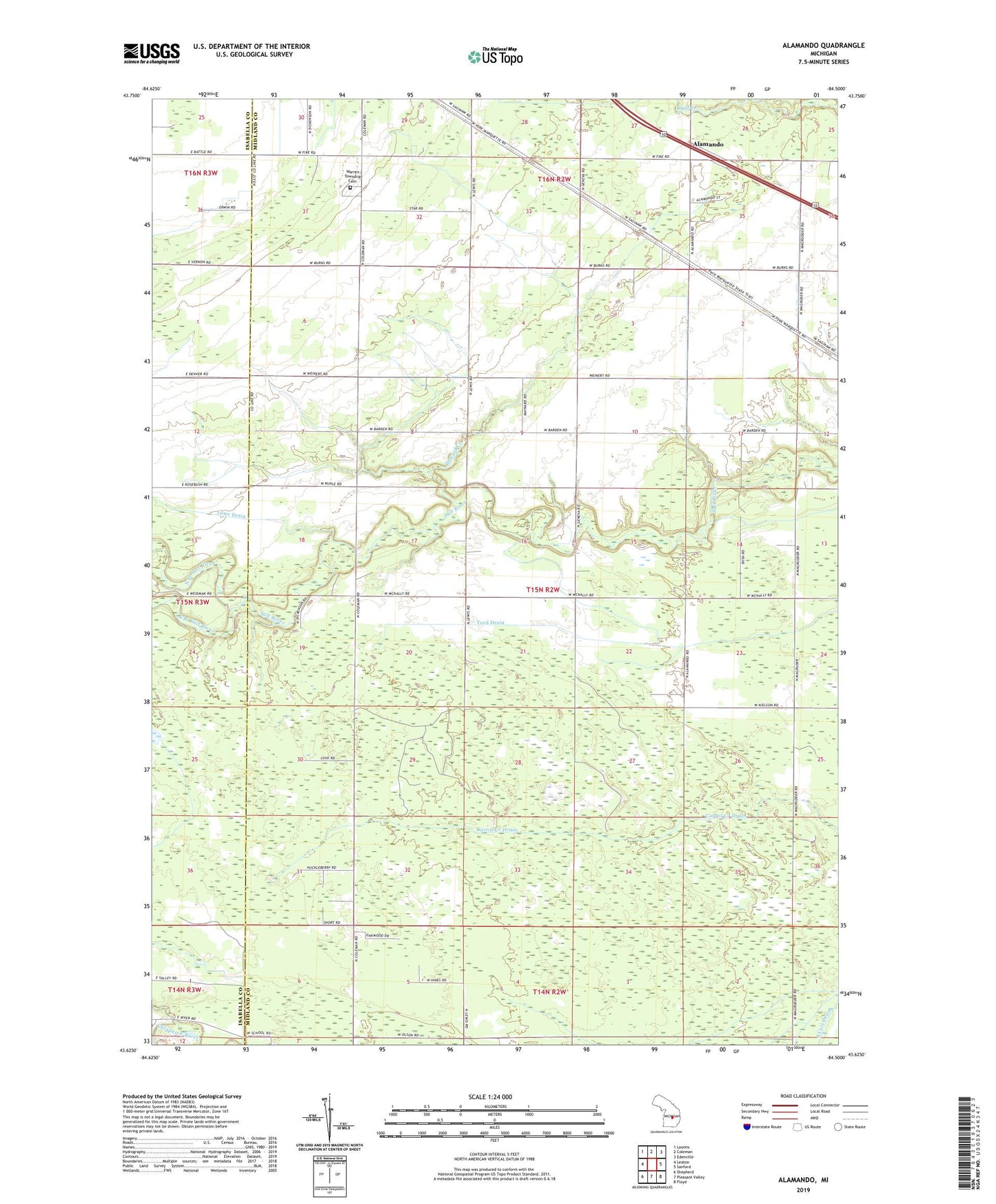
2023 topographic map quadrangle Alamando in the state of Michigan. Scale: 1:24000. Based on the newly updated USGS 7.5' US Topo map series, this map is in the following counties: Midland, Isabella. The map contains contour data, water features, and other items you are used to seeing on USGS maps, but also has updated roads and other features. This is the next generation of topographic maps. Printed on high-quality waterproof paper with UV fade-resistant inks.
Quads adjacent to this one:
West: Leaton
Northwest: Loomis
North: Coleman
Northeast: Edenville
East: Sanford
Southeast: Floyd
South: Pleasant Valley
Southwest: Shepherd
This map covers the same area as the classic USGS quad with code o43084f5.
Contains the following named places: Alamando, Alamando Post Office, Alamando Station, Geneva Hope Church, Howard Creek, North Branch Salt River, South Branch Salt River, South Carl Drain, Teed Drain, Township of Geneva, Warren Township Cemetery, WCEN-FM (Mount Pleasant), ZIP Code: 48618