MyTopo
Bear Point Michigan US Topo Map
Couldn't load pickup availability
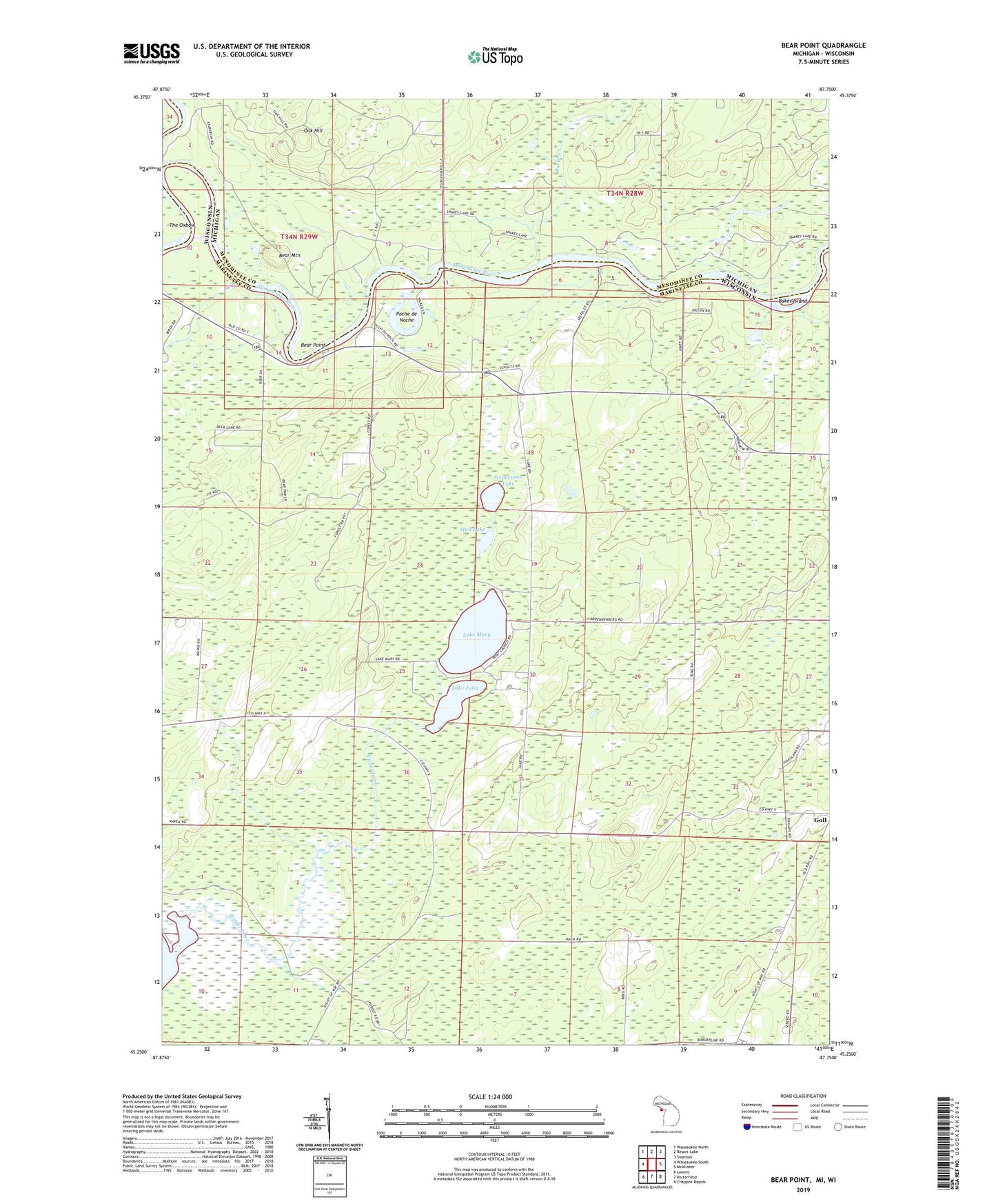
2023 topographic map quadrangle Bear Point in the states of Wisconsin, Michigan. Scale: 1:24000. Based on the newly updated USGS 7.5' US Topo map series, this map is in the following counties: Menominee, Marinette. The map contains contour data, water features, and other items you are used to seeing on USGS maps, but also has updated roads and other features. This is the next generation of topographic maps. Printed on high-quality waterproof paper with UV fade-resistant inks.
Quads adjacent to this one:
West: Wausaukee South
Northwest: Wausaukee North
North: Resort Lake
Northeast: Swanson
East: McAllister
Southeast: Chappee Rapids
South: Porterfield
Southwest: Loomis
Contains the following named places: Baker Island, Bear Mountain, Bear Point, Bear Point County Park, Burke Creek, Goll, Hidden Lake, Lake Julia, Lake Mary, Lake Noquebay State Public Hunting Grounds, Lake Noquebay Wildlife Area 2WP1975 Dam, Little Poche De Noche, Mallard Lake, Middle Inlet Lookout Tower, Mud Lake, Oak Hill, Poche de Noche, Snakey Lake, Stephenson Lake, Sturgeon Landing, Upper Inlet