MyTopo
Brevort Michigan US Topo Map
Couldn't load pickup availability
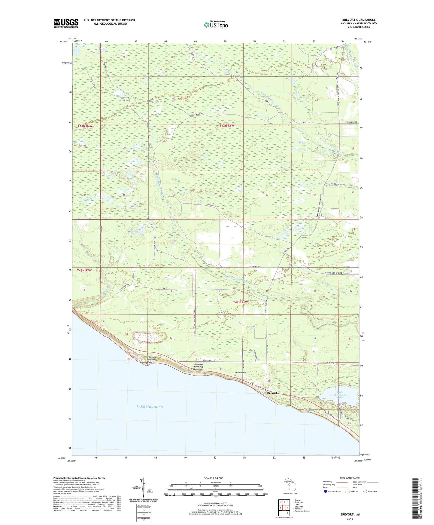
2023 topographic map quadrangle Brevort in the state of Michigan. Scale: 1:24000. Based on the newly updated USGS 7.5' US Topo map series, this map is in the following counties: Mackinac. The map contains contour data, water features, and other items you are used to seeing on USGS maps, but also has updated roads and other features. This is the next generation of topographic maps. Printed on high-quality waterproof paper with UV fade-resistant inks.
Quads adjacent to this one:
West: Epoufette
Northwest: Rexton
North: Trout Lake
Northeast: Ozark
East: Kenneth
Southeast: Pointe aux Chenes
This map covers the same area as the classic USGS quad with code o46085a1.
Contains the following named places: Brevort, Brevort Airport, Brevort Post Office, Little Brevoort Lake, Little Brevort Lake North State Forest Campground, Little Brevort Lake South State Forest Campground, Manitou Payment Highbanks, Manitou Payment Point, Sand Products Corporation, Western Cemetery