MyTopo
Cataract Basin Michigan US Topo Map
Couldn't load pickup availability
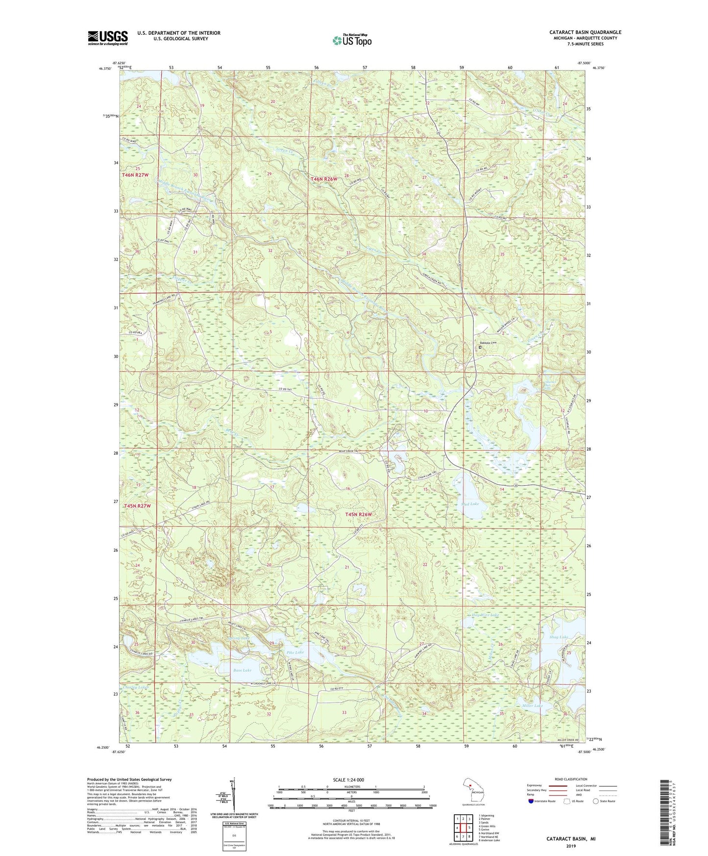
2023 topographic map quadrangle Cataract Basin in the state of Michigan. Scale: 1:24000. Based on the newly updated USGS 7.5' US Topo map series, this map is in the following counties: Marquette. The map contains contour data, water features, and other items you are used to seeing on USGS maps, but also has updated roads and other features. This is the next generation of topographic maps. Printed on high-quality waterproof paper with UV fade-resistant inks.
Quads adjacent to this one:
West: Green Hills
Northwest: Ishpeming
North: Palmer
Northeast: Sands
East: Gwinn
Southeast: Anderson Lake
South: Northland NE
Southwest: Northland NW
This map covers the same area as the classic USGS quad with code o46087c5.
Contains the following named places: Bakkala Cemetery, Bass Lake, Bass Lake State Forest Campground, Bear Creek, Cataract Basin, Cataract Dam Falls, Charley Lake, Crooked Lake, Flopper Creek, Hay Wire Lake, Horseshoe Lake, Miller Lake, Mud Lake, Pike Lake, Pike Lake State Forest Campground, Shag Lake, Spring Lake