MyTopo
Government Peak Michigan US Topo Map
Couldn't load pickup availability
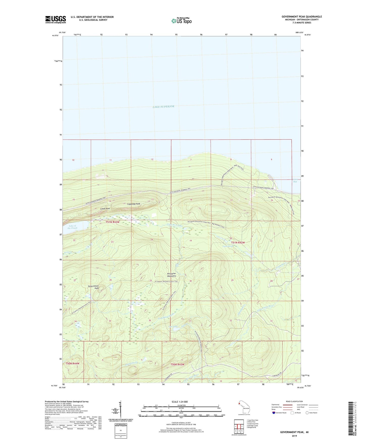
2023 topographic map quadrangle Government Peak in the state of Michigan. Scale: 1:24000. Based on the newly updated USGS 7.5' US Topo map series, this map is in the following counties: Ontonagon. The map contains contour data, water features, and other items you are used to seeing on USGS maps, but also has updated roads and other features. This is the next generation of topographic maps. Printed on high-quality waterproof paper with UV fade-resistant inks.
Quads adjacent to this one:
West: Carp River East
East: White Pine
Southeast: Bergland NE
South: Aldridge Creek
Southwest: Underwood Hill
This map covers the same area as the classic USGS quad with code o46089g6.
Contains the following named places: Carp Lake Landing, Carp Lake Mine, Carp River Inlet, Cleveland Creek, Cloud Peak, Cuyahoga Mine, Cuyahoga Peak, Government Peak, Lake of the Clouds, Lost Creek, Lost Creek Outpost Campground, Lost Lake, Porcupine Mountains Historical Marker, Porcupine Mountains Wilderness State Park, Trap Falls, Union Mine, Union Spring