MyTopo
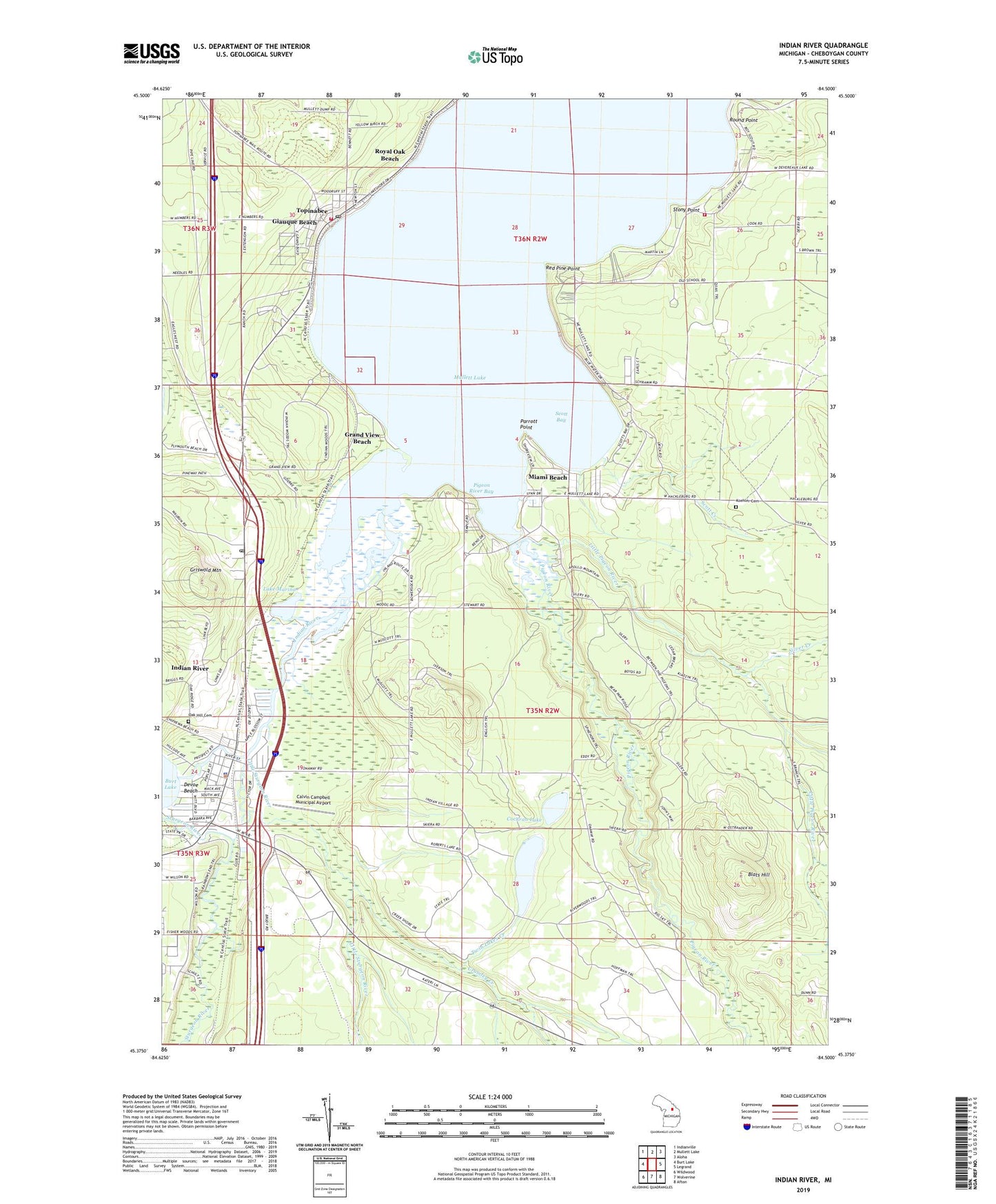
Indian River Michigan US Topo Map
Couldn't load pickup availability
2023 topographic map quadrangle Indian River in the state of Michigan. Scale: 1:24000. Based on the newly updated USGS 7.5' US Topo map series, this map is in the following counties: Cheboygan. The map contains contour data, water features, and other items you are used to seeing on USGS maps, but also has updated roads and other features. This is the next generation of topographic maps. Printed on high-quality waterproof paper with UV fade-resistant inks.
Quads adjacent to this one:
West: Burt Lake
Northwest: Indianville
North: Mullett Lake
Northeast: Aloha
East: Legrand
Southeast: Afton
South: Wolverine
Southwest: Wildwood
This map covers the same area as the classic USGS quad with code o45084d5.
Contains the following named places: Berean Bible Church, Blats Hill, Bowersocks Camp, Calvin Campbell Municipal Airport, Camp Modoc, Cochran Lake, Cold Springs, Crumley Creek, Devoe Beach, East Mullett Lake Fire Department, Giauque Beach, Grand View Beach, Griswold Mountain, Indian River, Indian River Baptist Church, Indian River Census Designated Place, Indian River Golf Club, Indian River Medical Center, Indian River Post Office, Indian River Station, Inland Lighthouse Church of God, Inland Waterway Historical Marker, Koehler Cemetery, Koehler Post Office, Lake Marina, Little Pigeon River, Little Sturgeon River, Marina Park, Miami Beach, Middle Branch Little Pigeon River, North Branch Little Pigeon River, Northern Internal Medicine, Oak Hill Cemetery, Parrott Point, Pigeon Bay Campground, Pigeon River, Pigeon River Bay, Red Pine Point, Roberts Lake, Royal Oak Beach, School Number 1, Scott Bay, Scott Creek, Silver Creek, Stony Point, Sturgeon River, Topinabee, Topinabee Community Church, Topinabee Fire Department, Topinabee Post Office, Topinabee Public Library, Topinabee Station, Township of Koehler, Tuscarora Township Police Department, Twin Lakes Creek, ZIP Codes: 49749, 49791


