MyTopo
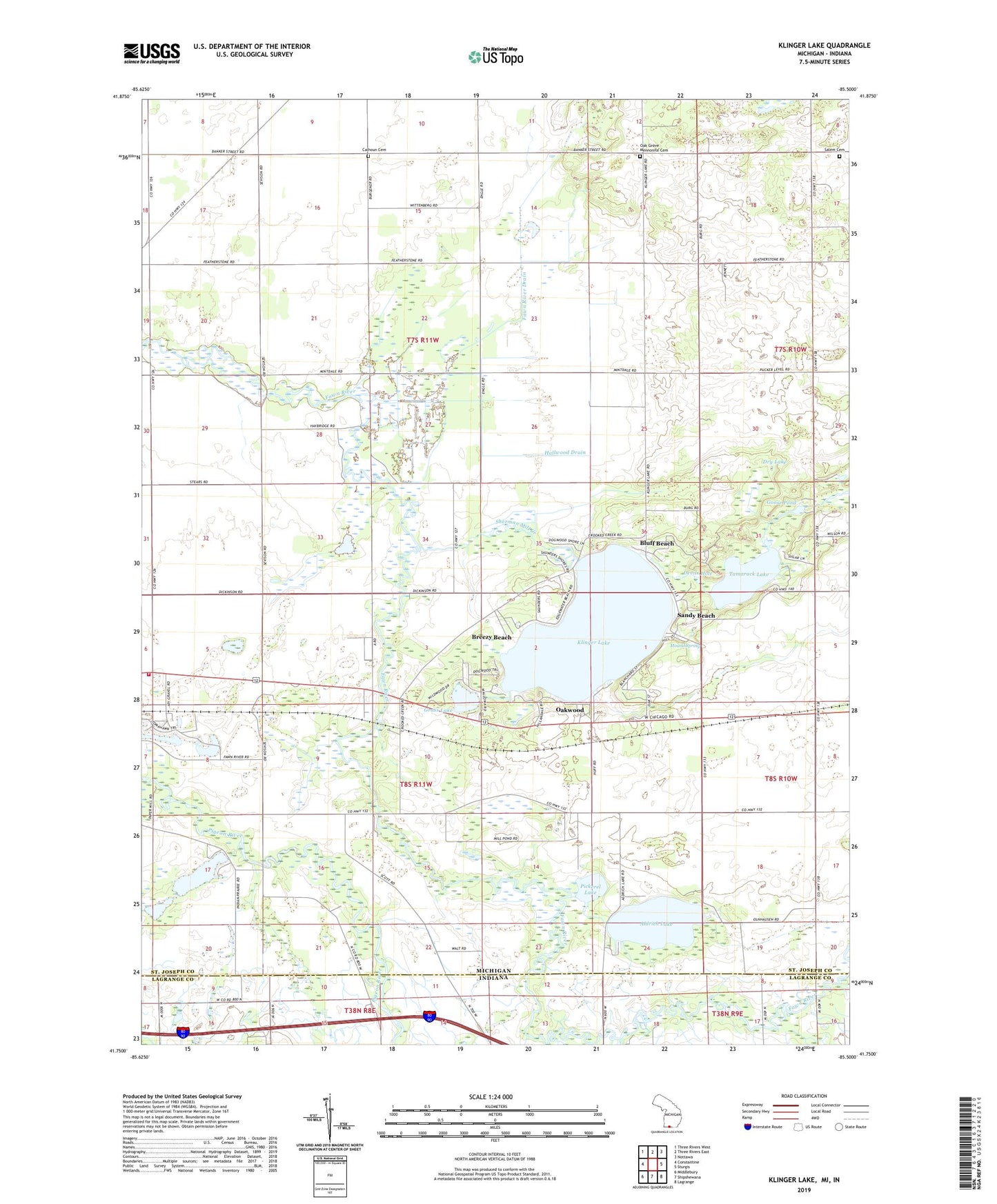
Klinger Lake Michigan US Topo Map
Couldn't load pickup availability
2023 topographic map quadrangle Klinger Lake in the state of Michigan. Scale: 1:24000. Based on the newly updated USGS 7.5' US Topo map series, this map is in the following counties: St. Joseph, LaGrange. The map contains contour data, water features, and other items you are used to seeing on USGS maps, but also has updated roads and other features. This is the next generation of topographic maps. Printed on high-quality waterproof paper with UV fade-resistant inks.
Quads adjacent to this one:
West: Constantine
Northwest: Three Rivers West
North: Three Rivers East
Northeast: Nottawa
East: Sturgis
Southeast: Lagrange
South: Shipshewana
Southwest: Middlebury
This map covers the same area as the classic USGS quad with code o41085g5.
Contains the following named places: Aldrich Lake, Avery Post Office, Black Gold Farms, Bluff Beach, Breezy Beach, Calhoun Cemetery, Devils Hole, Dry Lake, Fawn River Drain, Florence Church, Goose Pond, Grass Lake, Hallwood Drain, Jim Timm County Park, Klinger Lake, Klinger Lake Country Club, Klingers, Klingers Post Office, Klingers Station, Marl Lakes, Miller Farm, Mintdale Community Club, Mound Spring, New Hope Church, Newville Cemetery, Oak Grove Church, Oak Grove Mennonite Cemetery, Oakwood, Pickerel Lake, Salem Cemetery, Salem Church, Sandy Beach, Sherman Mill Creek, Shimstone Farms, Stiver Farm, Tamarack Lake, Township of Florence, Township of White Pigeon, Valley View Farms, Walnut Hill Farms, White Pigeon Township Fire Department


