MyTopo
Ozark SE Michigan US Topo Map
Couldn't load pickup availability
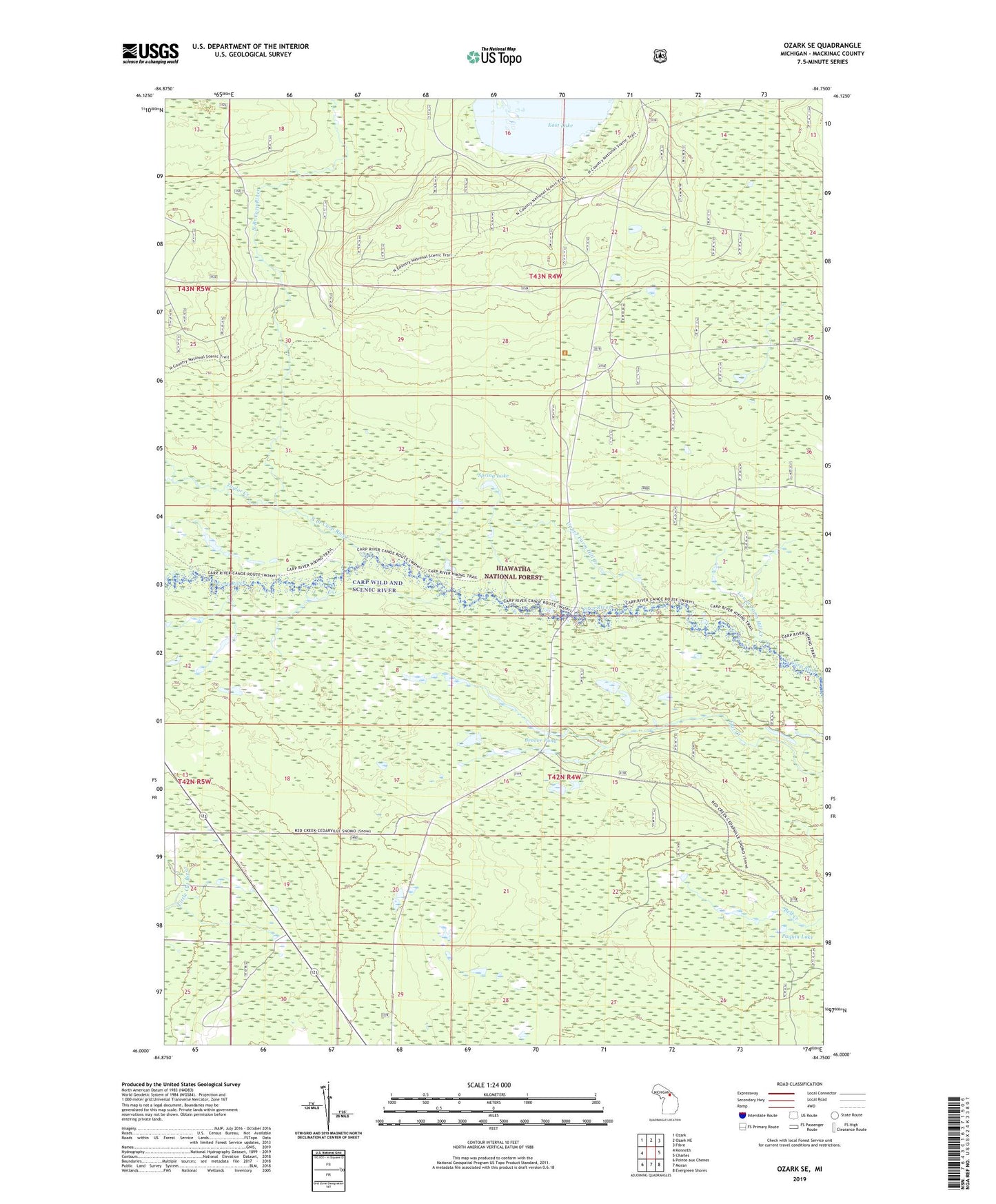
2019 topographic map quadrangle Ozark SE in the state of Michigan. Scale: 1:24000. Based on the newly updated USGS 7.5' US Topo map series, this map is in the following counties: Mackinac. The map contains contour data, water features, and other items you are used to seeing on USGS maps, but also has updated roads and other features. This is the next generation of topographic maps. Printed on high-quality waterproof paper with UV fade-resistant inks.
Quads adjacent to this one:
West: Kenneth
Northwest: Ozark
North: Ozark NE
Northeast: Fibre
East: Charles
Southeast: Evergreen Shores
South: Moran
Southwest: Pointe aux Chenes
Contains the following named places: Beaver Pond, Bissel Creek, Carp Wild and Scenic River, Lower Farm Hill Creek, Mackinac Wilderness, North Branch Carp River, Spring Lake, Spring Lake Creek, Taylor Creek, Township of Brevort, Upper Farm Hill Creek