MyTopo
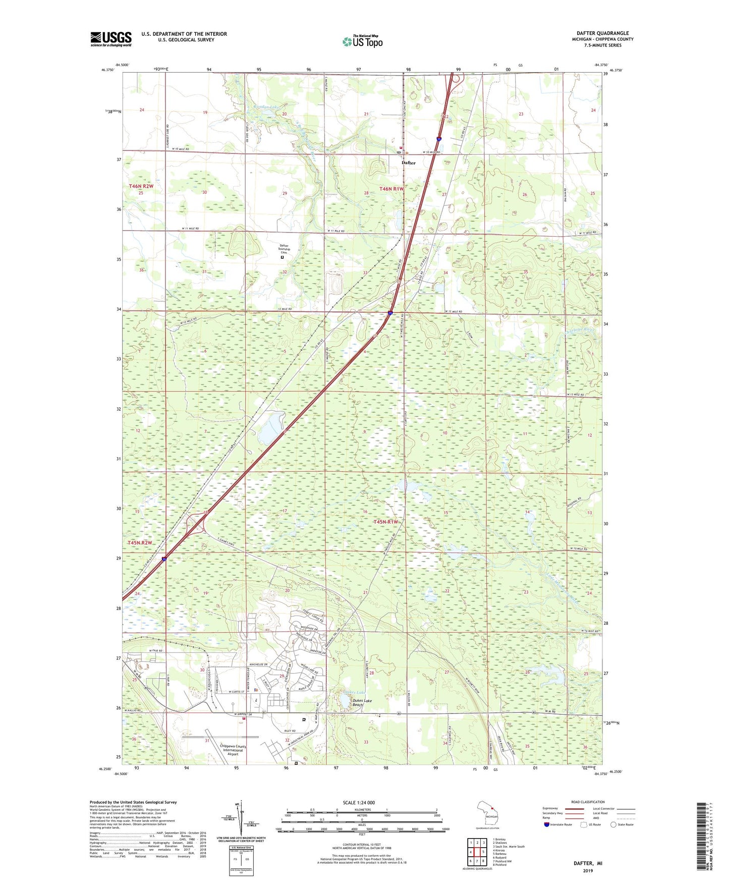
Dafter Michigan US Topo Map
Couldn't load pickup availability
2023 topographic map quadrangle Dafter in the state of Michigan. Scale: 1:24000. Based on the newly updated USGS 7.5' US Topo map series, this map is in the following counties: Chippewa. The map contains contour data, water features, and other items you are used to seeing on USGS maps, but also has updated roads and other features. This is the next generation of topographic maps. Printed on high-quality waterproof paper with UV fade-resistant inks.
Quads adjacent to this one:
West: Kinross
Northwest: Brimley
North: Shallows
East: Barbeau
Southeast: Pickford
South: Pickford NW
Southwest: Rudyard
This map covers the same area as the classic USGS quad with code o46084c4.
Contains the following named places: Baptist Pioneer Mission, Chippewa Correctional Facility, Chippewa County Fairground, Chippewa County International Airport, Christie School, Clear Lake Campground, Consolidated Community School, Dafter, Dafter Post Office, Dafter Station, Dafter Township Cemetery, Dafter Township Fire Department, Dukes Lake, Dukes Lake Beach, Fundamental Baptist Church, Kincheloe, Kincheloe Air Force Base, Kincheloe Census Designated Place, Kincheloe Post Office, Kincross Correctional Facility, Kinross Community Clinic, Kinross Emergency Medical Services, Kinross Township Park, Kinross Township Police Department, Kinross Volunteer Fire Department, New Hope Community Church, Northern Light Assembly of God Church, Northern Urgent Care Clinic, Oaks at Kincheloe Golf Course, R J Wallace Elementary School, Riordan Lake, Township of Dafter, ZIP Codes: 49724, 49752, 49788


