MyTopo
Sidnaw Michigan US Topo Map
Couldn't load pickup availability
Also explore the Sidnaw Forest Service Topo of this same quad for updated USFS data
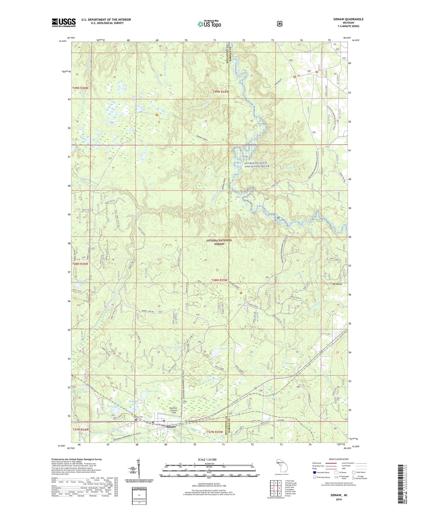
2023 topographic map quadrangle Sidnaw in the state of Michigan. Scale: 1:24000. Based on the newly updated USGS 7.5' US Topo map series, this map is in the following counties: Houghton, Baraga. The map contains contour data, water features, and other items you are used to seeing on USGS maps, but also has updated roads and other features. This is the next generation of topographic maps. Printed on high-quality waterproof paper with UV fade-resistant inks.
Quads adjacent to this one:
West: Echo Lake
Northwest: Vista Falls
North: Prickett Lake
Northeast: Baraga Plains
East: Covington
Southeast: Tunis
South: Marten Lake
Southwest: Glitter Lake
This map covers the same area as the classic USGS quad with code o46088e6.
Contains the following named places: Acadian Creek, Beck Lake, Black Creek, Duncan Township Fire Department, Elginor Lake, Erickson Creek, Festuca Creek, Haywire Lake, High Lake, Hill Creek, Mill Lake, Moonshine Lake, Mount Kallio, O'Connell Creek, Pequet Lake, Perch River, Perch River Picnic Area, Prickett-Grooms Field, Saint George Lake, Sauna Creek, Sidnaw, Sidnaw Cemetery, Sidnaw Creek, Sidnaw Post Office, Sidnaw Station, Sidnaw United Methodist Church, Sturgeon River Campground, Sturgeon River Gorge Wilderness, West Branch Sidnaw Creek, Woo Creek, ZIP Code: 49961