MyTopo
Babbitt SE Minnesota US Topo Map
Couldn't load pickup availability
Also explore the Babbitt SE Forest Service Topo of this same quad for updated USFS data
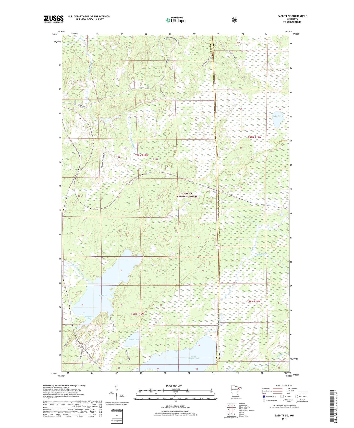
2022 topographic map quadrangle Babbitt SE in the state of Minnesota. Scale: 1:24000. Based on the newly updated USGS 7.5' US Topo map series, this map is in the following counties: St. Louis, Lake. The map contains contour data, water features, and other items you are used to seeing on USGS maps, but also has updated roads and other features. This is the next generation of topographic maps. Printed on high-quality waterproof paper with UV fade-resistant inks.
Quads adjacent to this one:
West: Babbitt SW
Northwest: Babbitt
North: Babbitt NE
Northeast: Slate Lake West
East: Greenwood Lake West
Southeast: Mount Weber
South: Toimi
Southwest: Skibo
This map covers the same area as the classic USGS quad with code o47091e7.
Contains the following named places: Big Lake, Bungalow Bay, Lake Culkin, North River, Ridgepole Creek, South Branch Partridge River, Swamp Lake