MyTopo
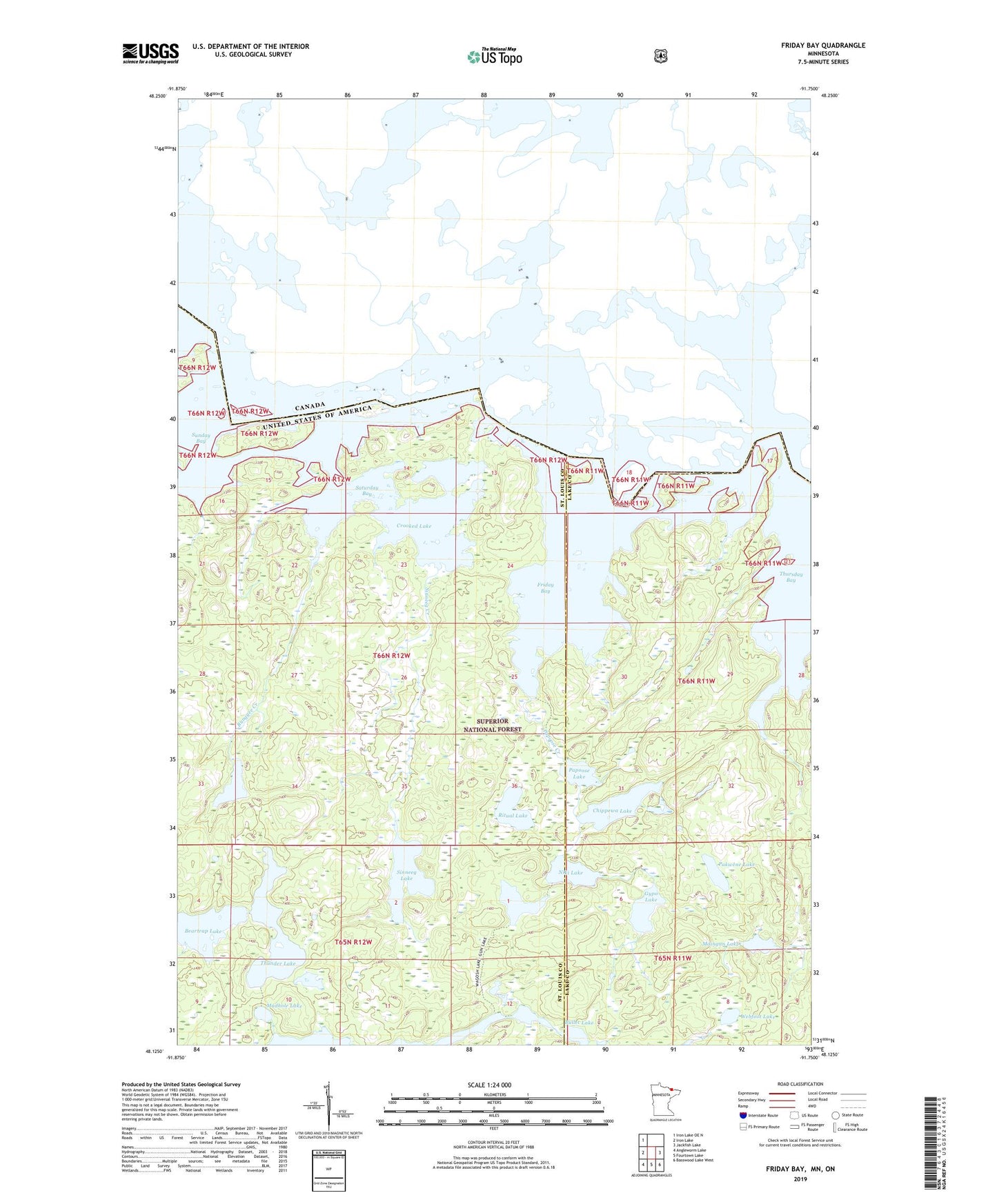
Friday Bay Minnesota US Topo Map
Couldn't load pickup availability
Also explore the Friday Bay Forest Service Topo of this same quad for updated USFS data
2022 topographic map quadrangle Friday Bay in the state of Minnesota. Scale: 1:24000. Based on the newly updated USGS 7.5' US Topo map series, this map is in the following counties: St. Louis, Lake. The map contains contour data, water features, and other items you are used to seeing on USGS maps, but also has updated roads and other features. This is the next generation of topographic maps. Printed on high-quality waterproof paper with UV fade-resistant inks.
Quads adjacent to this one:
West: Iron Lake
Northwest: Iron Lake OE N
East: Jackfish Lake
Southeast: Basswood Lake West
South: Fourtown Lake
Southwest: Angleworm Lake
This map covers the same area as the classic USGS quad with code o48091b7.
Contains the following named places: Beartrap Lake, Bullet Lake, Bunggee Creek, Bunggee Lake, Chippewa Lake, Crooked Lake, Friday Bay, Gypo Lake, Home Creek, Maingan Lake, Mudhole Lake, Niki Lake, Pakwene Lake, Papoose Creek, Papoose Lake, Ritual Lake, Saturday Bay, Sinneeg Creek, Sinneeg Lake, Sunday Bay, Thunder Lake, Thursday Bay, Unorganized Territory of Sunday Lake, Wagosh Lake, Webfoot Lake