
MyTopo
Greenwood Lake West Minnesota US Topo Map
Couldn't load pickup availability
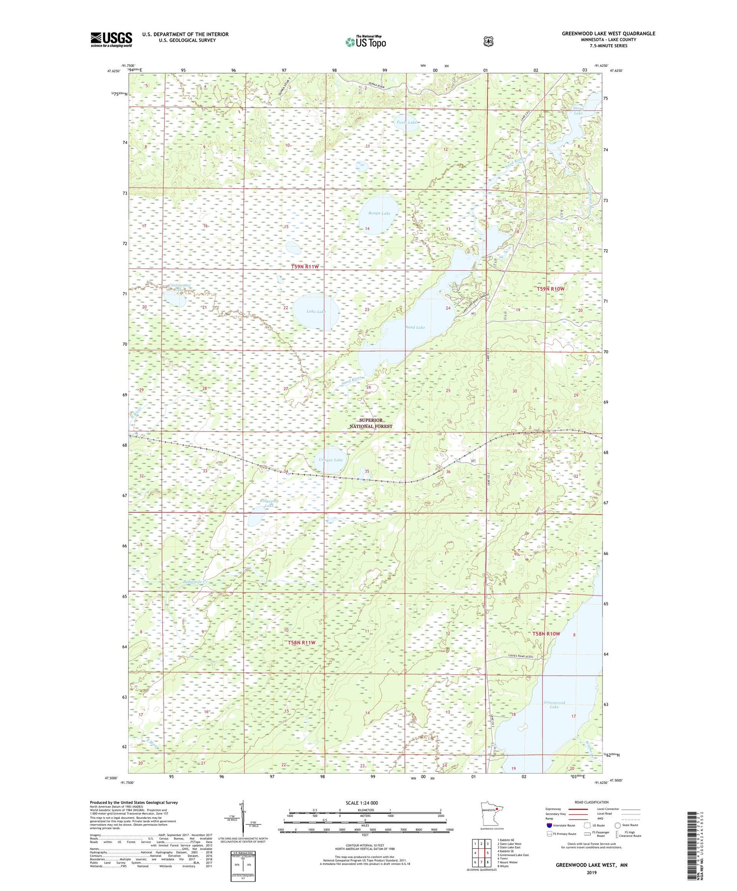
2019 topographic map quadrangle Greenwood Lake West in the state of Minnesota. Scale: 1:24000. Based on the newly updated USGS 7.5' US Topo map series, this map is in the following counties: Lake. The map contains contour data, water features, and other items you are used to seeing on USGS maps, but also has updated roads and other features. This is the next generation of topographic maps. Printed on high-quality waterproof paper with UV fade-resistant inks.
Quads adjacent to this one:
West: Babbitt SE
Northwest: Babbitt NE
North: Slate Lake West
Northeast: Slate Lake East
East: Greenwood Lake East
Southeast: Whyte
South: Mount Weber
Southwest: Toimi
Contains the following named places: Bonga Lake, Continental Lake, Cougar Lake, Fools Lake, Great Lakes School of Logging, Greenwood Lake, Greenwood River, Lobo Lake, Ridgepole Lake, Sand Lake, Stony Lake, Wenho Creek


