MyTopo
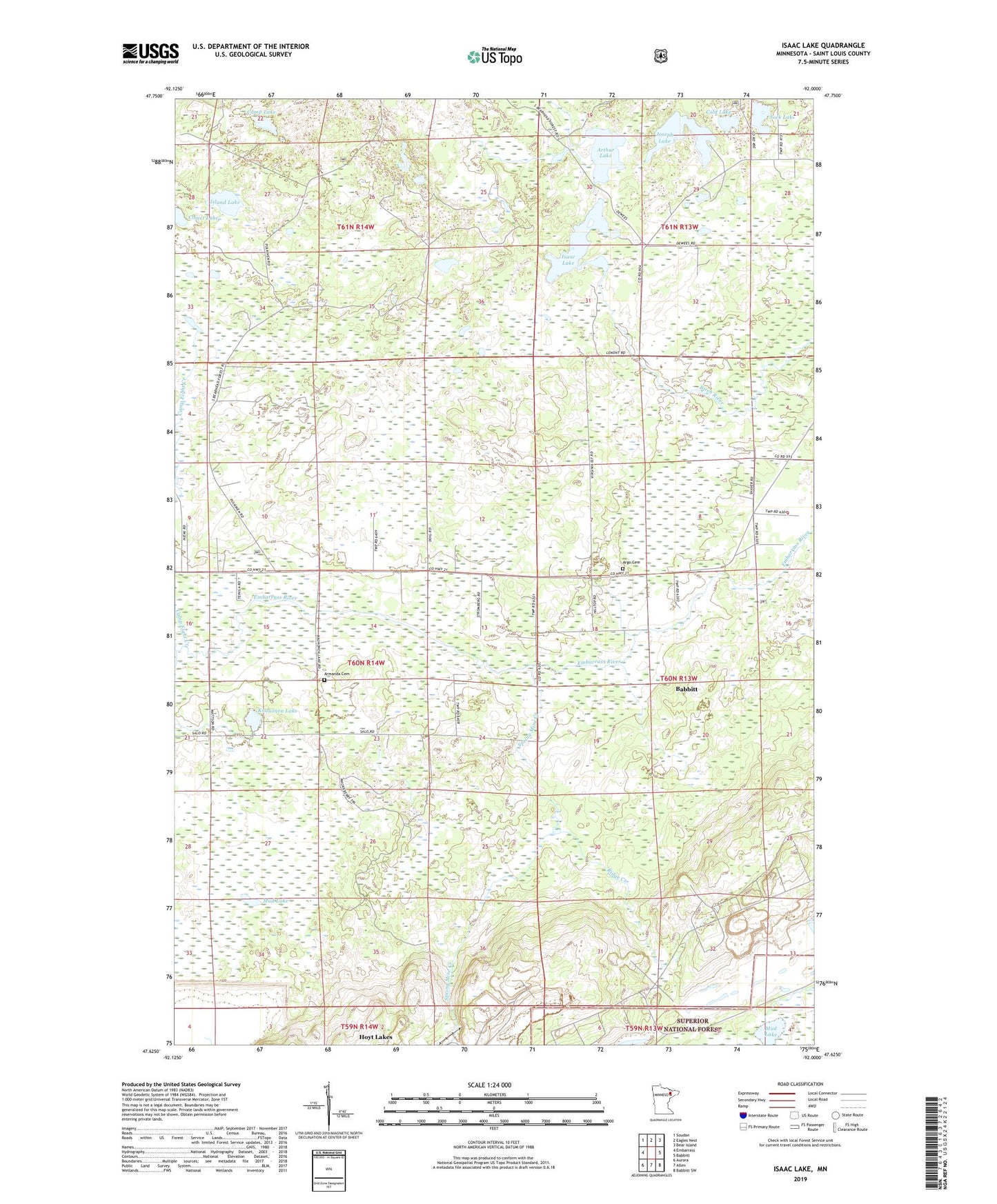
Isaac Lake Minnesota US Topo Map
Couldn't load pickup availability
Also explore the Isaac Lake Forest Service Topo of this same quad for updated USFS data
2022 topographic map quadrangle Isaac Lake in the state of Minnesota. Scale: 1:24000. Based on the newly updated USGS 7.5' US Topo map series, this map is in the following counties: St. Louis. The map contains contour data, water features, and other items you are used to seeing on USGS maps, but also has updated roads and other features. This is the next generation of topographic maps. Printed on high-quality waterproof paper with UV fade-resistant inks.
Quads adjacent to this one:
West: Embarrass
Northwest: Soudan
North: Eagles Nest
Northeast: Bear Island
East: Babbitt
Southeast: Babbitt SW
South: Allen
Southwest: Aurora
This map covers the same area as the classic USGS quad with code o47092f1.
Contains the following named places: Argo Cemetery, Armanda Cemetery, Arthur Lake, Camp Eight Creek, Camp Lake, Cold Lake, Comet Lake, Isaac Lake, Island Lake, Joseph Lake, Kaunonen Lake, Mud Lake, Ridge Creek, Sock Lake, Spring Mine Creek, Township of Waasa