MyTopo
Lake Johanna Minnesota US Topo Map
Couldn't load pickup availability
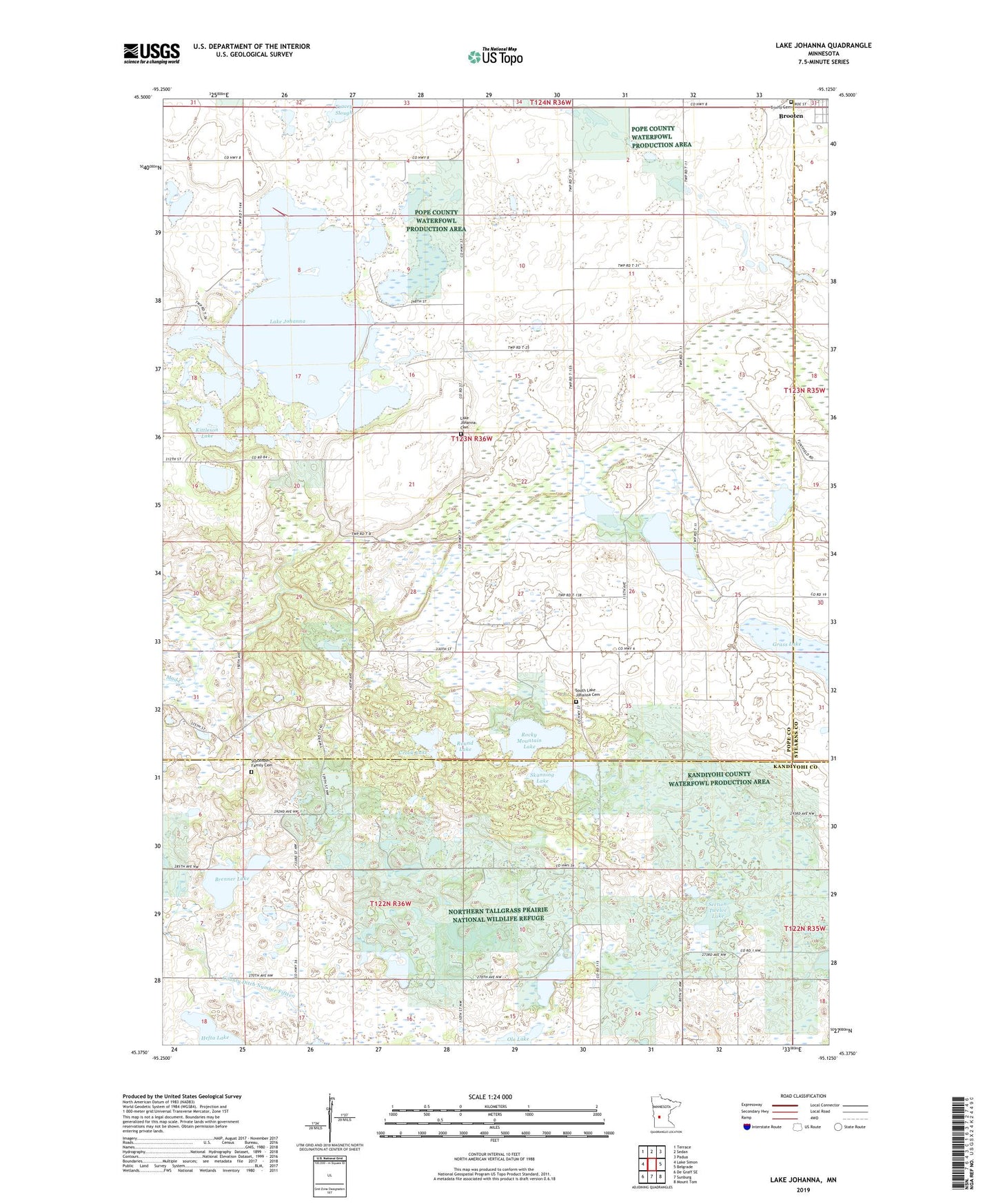
2022 topographic map quadrangle Lake Johanna in the state of Minnesota. Scale: 1:24000. Based on the newly updated USGS 7.5' US Topo map series, this map is in the following counties: Pope, Kandiyohi, Stearns. The map contains contour data, water features, and other items you are used to seeing on USGS maps, but also has updated roads and other features. This is the next generation of topographic maps. Printed on high-quality waterproof paper with UV fade-resistant inks.
Quads adjacent to this one:
West: Lake Simon
Northwest: Terrace
North: Sedan
Northeast: Padua
East: Belgrade
Southeast: Mount Tom
South: Sunburg
Southwest: De Graff SE
This map covers the same area as the classic USGS quad with code o45095d2.
Contains the following named places: Bangor State Wildlife Management Area, Brenner Lake, County Ditch Number Fifteen, Crook Lake, Grass Lake, Kandiyohi County Waterfowl Production Area, Kittleson Lake, Kjos Pool, Lake Johanna, Lake Johanna Cemetery, Leif Langsjoen Waterfowl Development Dam, Little Jo State Wildlife Management Area, Mud Creek Number 5 Group Dam, Ole Lake, Rocky Mountain Lake, Round Lake, Section Twelve Lake, Skanning Lake, Skarpness State Wildlife Management Area, South Lake Johanna Cemetery, South Lake Johanna Church, Stockholm Family Cemetery, Township of Lake Johanna, Trinity Cemetery, ZIP Code: 56316