MyTopo
Mount Tom Minnesota US Topo Map
Couldn't load pickup availability
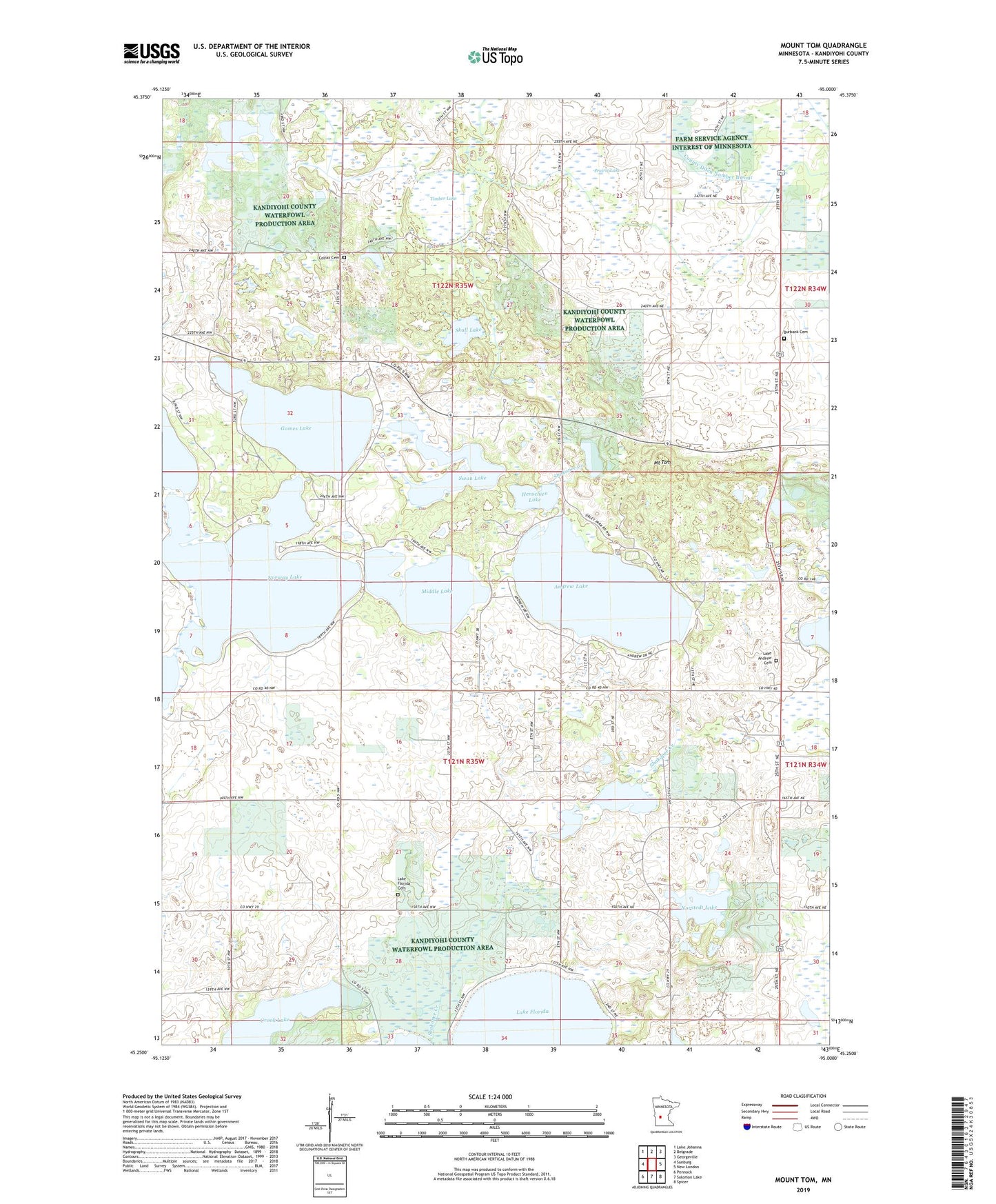
2022 topographic map quadrangle Mount Tom in the state of Minnesota. Scale: 1:24000. Based on the newly updated USGS 7.5' US Topo map series, this map is in the following counties: Kandiyohi. The map contains contour data, water features, and other items you are used to seeing on USGS maps, but also has updated roads and other features. This is the next generation of topographic maps. Printed on high-quality waterproof paper with UV fade-resistant inks.
Quads adjacent to this one:
West: Sunburg
Northwest: Lake Johanna
North: Belgrade
Northeast: Georgeville
East: New London
Southeast: Spicer
South: Solomon Lake
Southwest: Pennock
This map covers the same area as the classic USGS quad with code o45095c1.
Contains the following named places: Andrew Lake, Broberg-Lundborg State Monument, Burbank Cemetery, Colfax Cemetery, County Ditch Number B Four, County Ditch Number B Three, County Ditch Number Thirtyseven, Crook Lake, Games Lake, Henschien Lake, Lake Andrew Cemetery, Lake Florida, Lake Florida Cemetery, Lake Florida Church, Middle Lake, Mount Tom, Norstedt Lake, Norway Lake, Prairie Lake, Sibley State Park, Skull Lake, Swan Lake, Swedish Church, Timber Lake, Township of Colfax, Township of Lake Andrew