
MyTopo
Portage Lake Minnesota US Topo Map
Couldn't load pickup availability
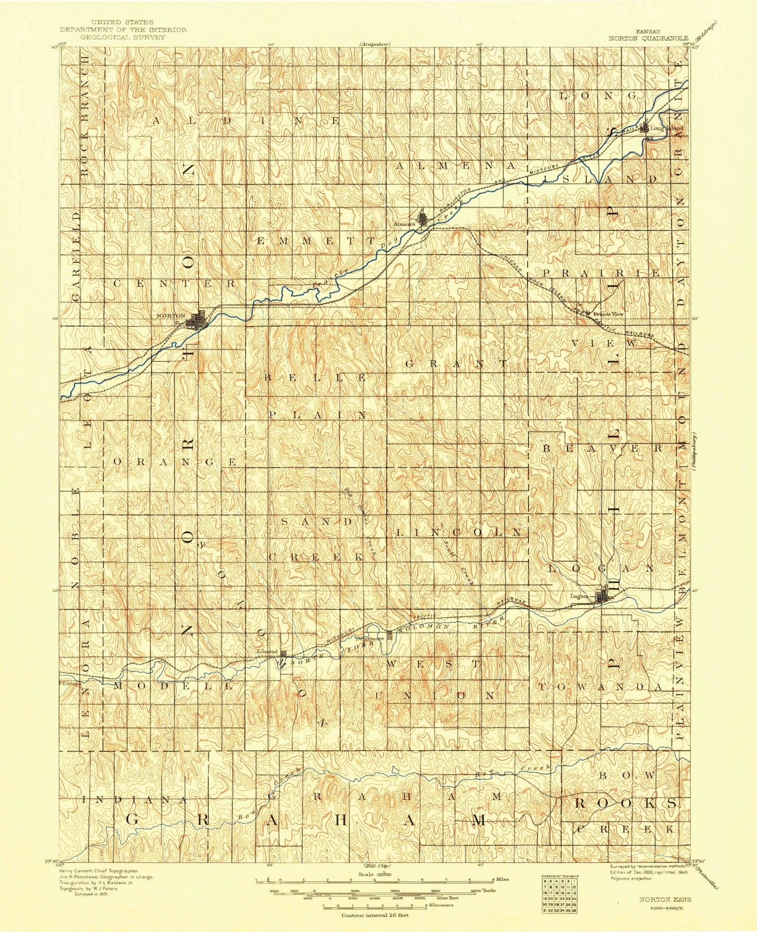
2019 topographic map quadrangle Portage Lake in the state of Minnesota. Scale: 1:24000. Based on the newly updated USGS 7.5' US Topo map series, this map is in the following counties: Cass. The map contains contour data, water features, and other items you are used to seeing on USGS maps, but also has updated roads and other features. This is the next generation of topographic maps. Printed on high-quality waterproof paper with UV fade-resistant inks.
Quads adjacent to this one:
West: Sucker Lakes
Northwest: Pennington
North: Raven Lake
Northeast: Bena NW
East: Bena
Southeast: Federal Dam
South: Sugar Point
Southwest: Ottertail Point
Contains the following named places: Bud Lake, Bug - O - Nay - Ge - Shig School, Leech Lake Reservation, Little Portage Lake, New Leech Lake Campground, Portage Creek, Portage Lake, Rabbits Cemetery, Richards Townsite Campground, Ryan Village, Waboose Bay