MyTopo
Rowena Minnesota US Topo Map
Couldn't load pickup availability
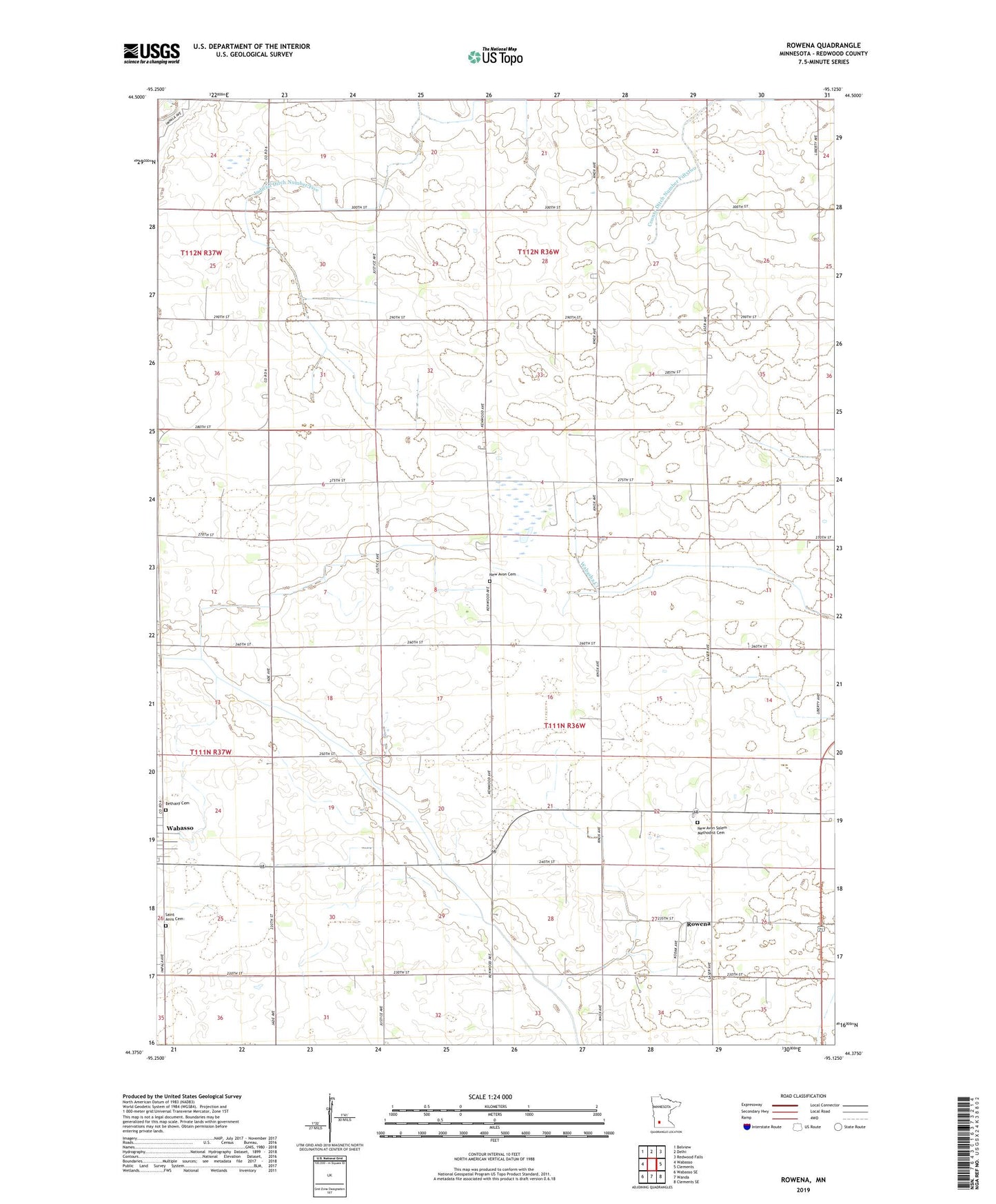
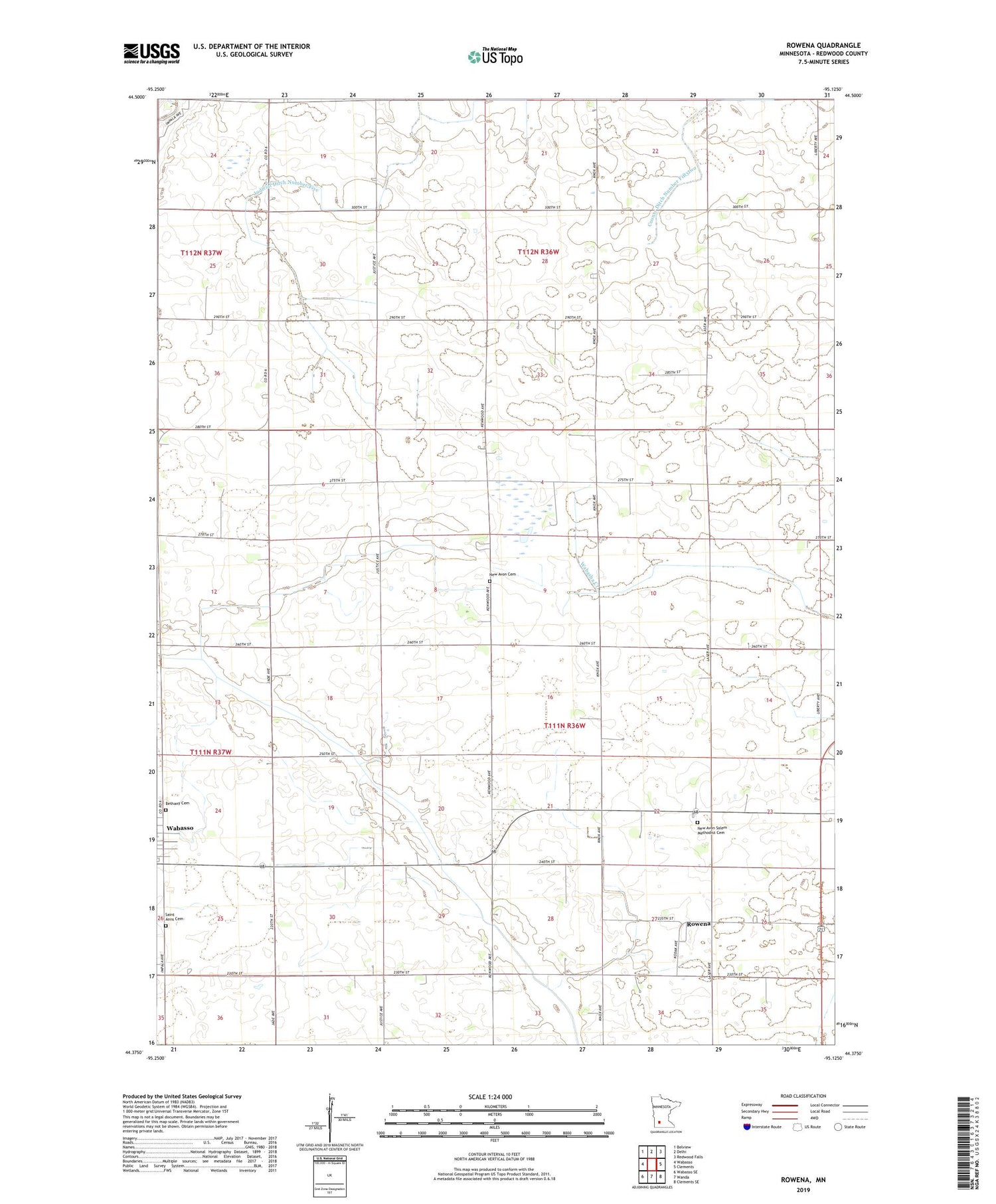
2019 topographic map quadrangle Rowena in the state of Minnesota. Scale: 1:24000. Based on the newly updated USGS 7.5' US Topo map series, this map is in the following counties: Redwood. The map contains contour data, water features, and other items you are used to seeing on USGS maps, but also has updated roads and other features. This is the next generation of topographic maps. Printed on high-quality waterproof paper with UV fade-resistant inks.
Quads adjacent to this one:
West: Wabasso
Northwest: Belview
North: Delhi
Northeast: Redwood Falls
East: Clements
Southeast: Clements SE
South: Wanda
Southwest: Wabasso SE
Contains the following named places: Bethany Cemetery, County Ditch Number Eighteen, County Ditch Number Twentysix, Judicial Ditch Number Five, Luescher-Barnum State Wildlife Management A, New Avon Cemetery, New Avon Church, New Avon Salem Methodist Cemetery, Rowena, Saint Anns Cemetery, Saint Matthew Lutheran Church, Township of New Avon, Township of Redwood Falls