MyTopo
Tofte Minnesota US Topo Map
Couldn't load pickup availability
Also explore the Tofte Forest Service Topo of this same quad for updated USFS data
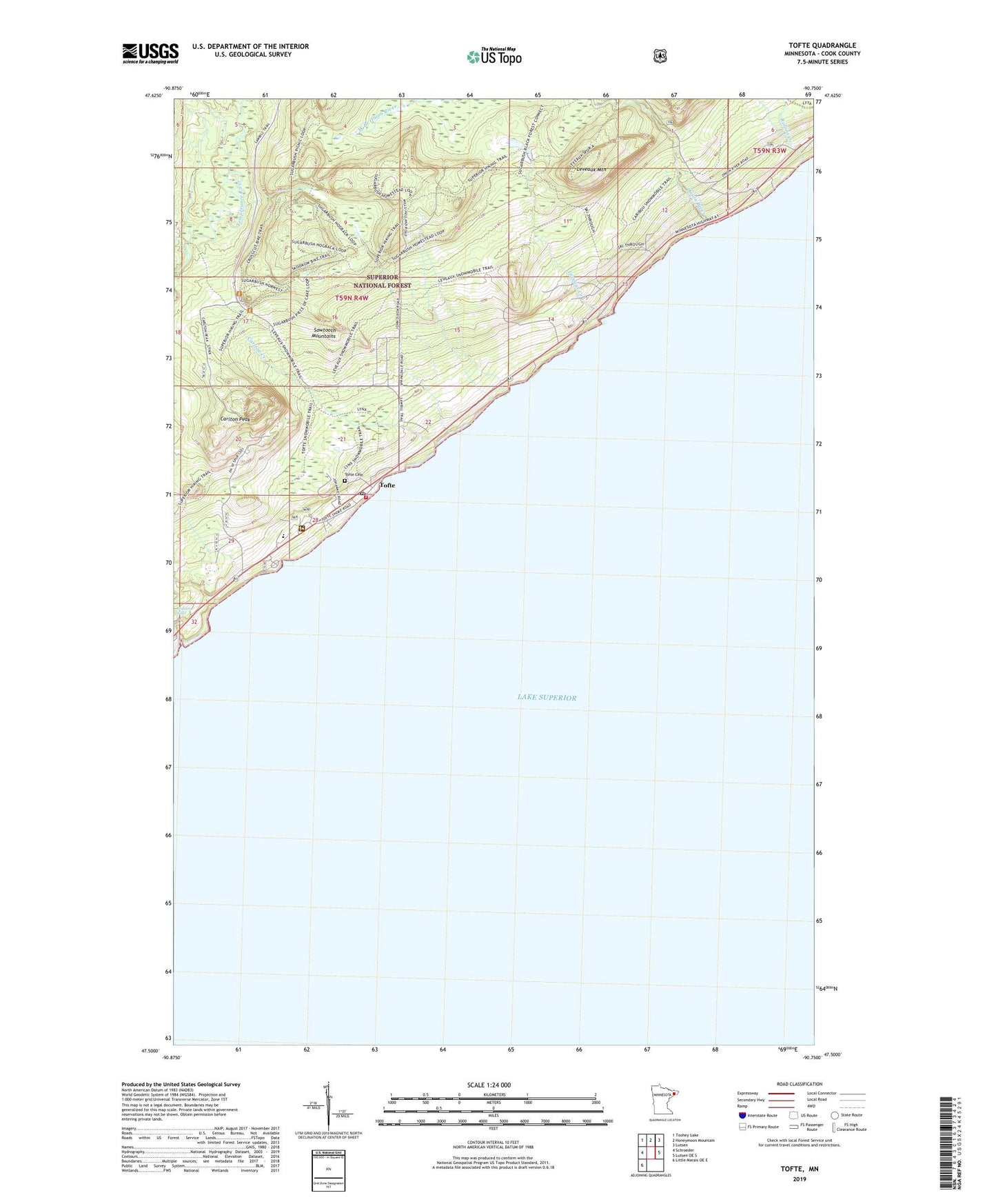
2022 topographic map quadrangle Tofte in the state of Minnesota. Scale: 1:24000. Based on the newly updated USGS 7.5' US Topo map series, this map is in the following counties: Cook. The map contains contour data, water features, and other items you are used to seeing on USGS maps, but also has updated roads and other features. This is the next generation of topographic maps. Printed on high-quality waterproof paper with UV fade-resistant inks.
Quads adjacent to this one:
West: Schroeder
Northwest: Toohey Lake
North: Honeymoon Mountain
Northeast: Lutsen
East: Lutsen OE S
Southwest: Little Marais OE E
This map covers the same area as the classic USGS quad with code o47090e7.
Contains the following named places: Birch Grove Elementary School, Carlton Creek, Carlton Peak, Grevais Landing Field, Hidden Falls, Leveaux Creek, Leveaux Mountain, Onion River, Ray Berglund Wayside and Recreation Site, Rollins Creek, Sawtooth Mountain Clinic, Superior Hiking Trail, Temperance River, Temperance River Roadside Parking Area, Temperance River State Park, Tofte, Tofte Airport, Tofte Cemetery, Tofte Post Office, Tofte Volunteer Fire and Rescue Department, Zoar Lutheran Church