MyTopo
Tracy West Minnesota US Topo Map
Couldn't load pickup availability
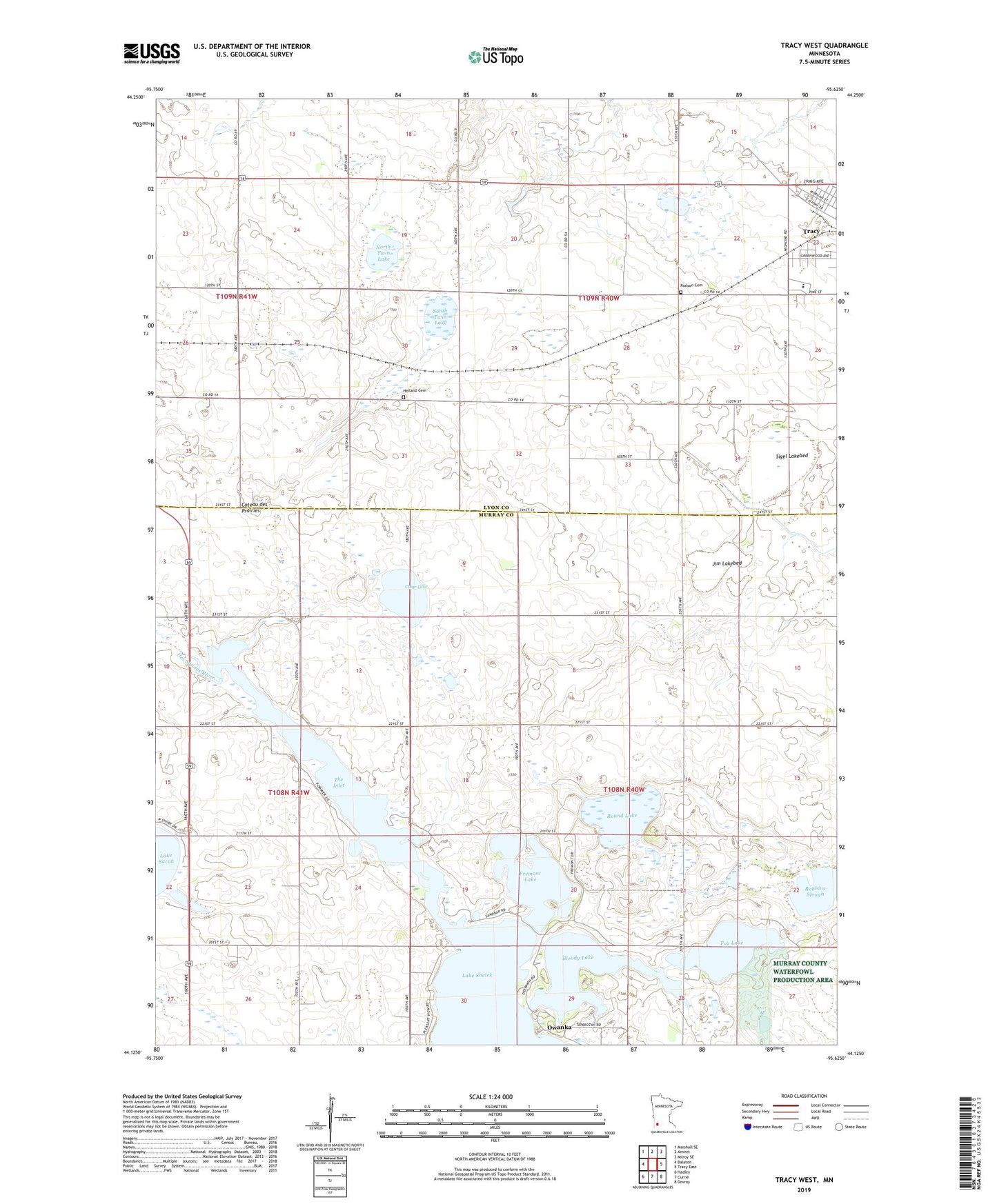
2022 topographic map quadrangle Tracy West in the state of Minnesota. Scale: 1:24000. Based on the newly updated USGS 7.5' US Topo map series, this map is in the following counties: Murray, Lyon. The map contains contour data, water features, and other items you are used to seeing on USGS maps, but also has updated roads and other features. This is the next generation of topographic maps. Printed on high-quality waterproof paper with UV fade-resistant inks.
Quads adjacent to this one:
West: Balaton
Northwest: Marshall SE
North: Amiret
Northeast: Milroy SE
East: Tracy East
Southeast: Dovray
South: Currie
Southwest: Hadley
This map covers the same area as the classic USGS quad with code o44095b6.
Contains the following named places: Bloody Lake, Clear Lake, Fox Lake, Fremont Lake, Greenhead State Wildlife Management Area, Hoiland Cemetery, Jim Lakebed, Judicial Ditch Number Twenty A, KARL-FM (Tracy), Kass-Morgan Group Farm Pond Dam, Kingdom Hall of Jehovah's Witnesses, North Twin Lake, Owanka, Owanka Post Office, Rialson Cemetery, Robbins Slough, Round Lake, Shetek State Wildlife Management Area, Sigel Lakebed, South Twin Lake, Southwest Playground, The Inlet, The Lakes, Township of Monroe, Township of Shetek, Tracy Senior High School