MyTopo
Burnsville Mississippi US Topo Map
Couldn't load pickup availability
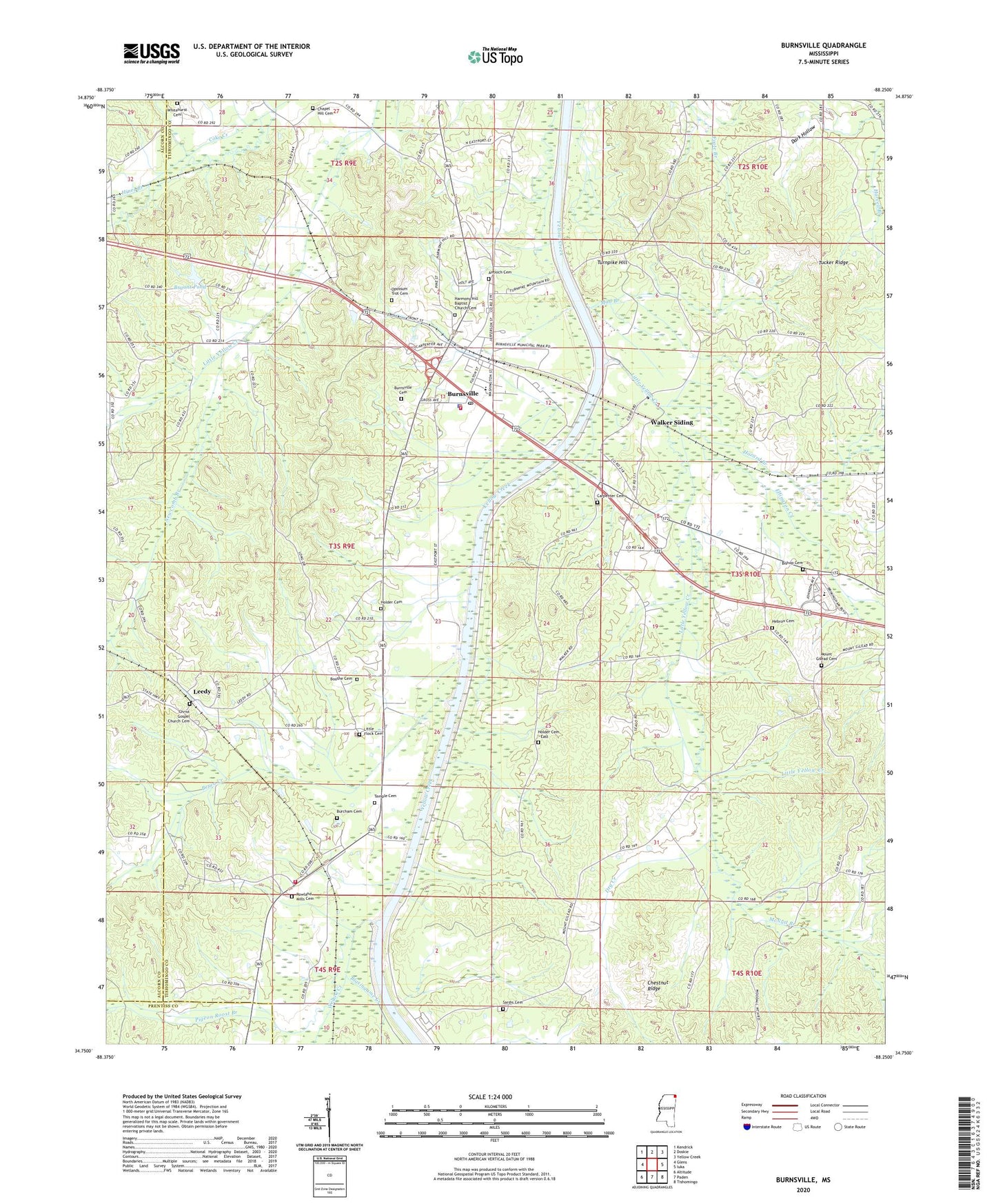
2024 topographic map quadrangle Burnsville in the state of Mississippi. Scale: 1:24000. Based on the newly updated USGS 7.5' US Topo map series, this map is in the following counties: Tishomingo, Alcorn, Prentiss. The map contains contour data, water features, and other items you are used to seeing on USGS maps, but also has updated roads and other features. This is the next generation of topographic maps. Printed on high-quality waterproof paper with UV fade-resistant inks.
Quads adjacent to this one:
West: Glens
Northwest: Kendrick
North: Doskie
Northeast: Yellow Creek
East: Iuka
Southeast: Tishomingo
South: Paden
Southwest: Altitude
This map covers the same area as the classic USGS quad with code o34088g3.
Contains the following named places: Antioch Cemetery, Antioch Church, Berea Church, Berea Creek, Bishop Cemetery, Blasingame Creek, Bluff Springs School, Boothe Cemetery, Bryant Pond, Burnsville, Burnsville Attendance Center, Burnsville Baptist Church, Burnsville Cemetery, Burnsville Fire Department, Burnsville Overlook Area, Burnsville Police Department, Burnsville Post Office, Burnsville United Pentecostal Church, Carpenter Cemetery, Chapel Hill Cemetery, Chapel Hill Church, Chestnut Ridge, Church of Christ, Coke Creek Drainage Ditch, Coke Spur, Dark Hollow, Dry Creek, Ellington Creek, Gravel Hill School, Harvell Branch, Hazard Branch, Hazard Switch, Hebron Cemetery, Hebron Church, Hines Branch, Holder Cemetery, Holder Cemetery - East, Holts Spur, Holtspur Volunteer Fire Department, Lambert Chapel School, Leedy, Little Flock Cemetery, Little Flock Church, Little Yellow Creek, Marlow Creek Drainage Ditch, McNutt Branch, Mount Gilead Cemetery, Mount Gilead Church, Mud Branch, New Liberty Church, Newcomb Branch, Oak Ridge School, Opossum Trot Cemetery, Overton Chapel, Pigeon Roost Branch, Pleasant Ridge School, Rowland Mill Church, Rowland Mills Cemetery, Sardis Cemetery, Sardis Church, Sardis School, Taylor Chapel, Town of Burnsville, Tucker Ridge, Turnpike Hill, Walker Siding, Whitehurst Cemetery, Yellow Creek Drainage Ditch


