MyTopo
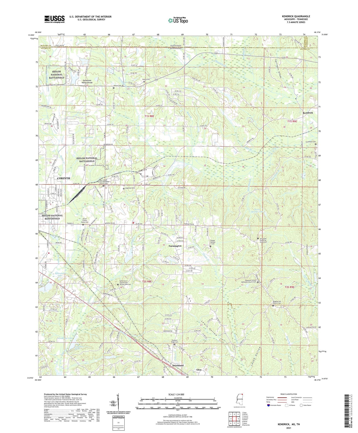
Kendrick Mississippi US Topo Map
Couldn't load pickup availability
2024 topographic map quadrangle Kendrick in the state of Mississippi. Scale: 1:24000. Based on the newly updated USGS 7.5' US Topo map series, this map is in the following counties: Alcorn, McNairy, Hardin. The map contains contour data, water features, and other items you are used to seeing on USGS maps, but also has updated roads and other features. This is the next generation of topographic maps. Printed on high-quality waterproof paper with UV fade-resistant inks.
Quads adjacent to this one:
West: Corinth
Northwest: Guys
North: Michie
Northeast: Counce
East: Doskie
Southeast: Burnsville
South: Glens
Southwest: Rienzi
Contains the following named places: Alcorn Central Elementary School, Alcorn Central High School, Babb Branch, Battery A, Box Chapel Methodist Church, Brice Branch, Bucks Branch, Clark's Cemetery, Clear Creek Church, Clear Creek School, Corinth Fire Department Station 4, Farmington, Farmington Academy, Farmington Baptist Church, Farmington Fire and Rescue, Farmington School, Field School, Fraleys Chapel Church of Christ, Glen Lookout Tower, Greenhaw Cemetery, Hillandale Country Club, Hillandale Lake, Hopewell Methodist Church, Hopewell School, Jerusalem Church, Jones Hollow, Kendrick, Lakeview Missionary Baptist Church, Lewis Hollow, Liddon Lake, Marvin Cemetery, Marvin Church, Marvin School, McGlathery School, Oak Hill Christian School, Oakland Baptist Church, Oakland School, Phillips Creek, Pinecrest Baptist Church, Pleasant Ridge Cemetery, Potts Store, Rock Hill Church, Salem Church, Scsally School, Seven Springs Lake, Sevenmile Creek Drainage Ditch, Sorghum Hollow, Springer Glade, Strickland, Strickland Branch, Surratt Pond, Town of Farmington, Wardlow Creek, Waukomis Lake, Waukomis Spring, Wiley Grove Church Cemetery African American


