MyTopo
Doskie Mississippi US Topo Map
Couldn't load pickup availability
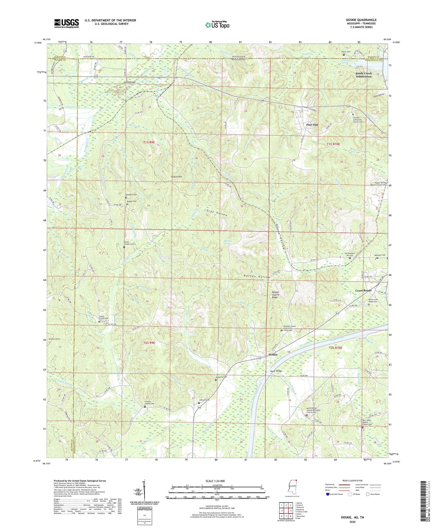
2024 topographic map quadrangle Doskie in the states of Mississippi, Tennessee. Scale: 1:24000. Based on the newly updated USGS 7.5' US Topo map series, this map is in the following counties: Tishomingo, Alcorn, Hardin. The map contains contour data, water features, and other items you are used to seeing on USGS maps, but also has updated roads and other features. This is the next generation of topographic maps. Printed on high-quality waterproof paper with UV fade-resistant inks.
Quads adjacent to this one:
West: Kendrick
Northwest: Michie
North: Counce
Northeast: Pickwick
East: Yellow Creek
Southeast: Iuka
South: Burnsville
Southwest: Glens
Contains the following named places: Barnes Chapel School, Barnes Hollow, Beaver Pond, Bethel Church, Bethel School, Bingham School, Blackard Cemetery, Blue Bill Spring, Calahan Branch, Caney Creek, Caney Creek Drainage Ditch, Caroline Branch, Center Point School, Chalybeate Spring, Chamber Creek Drainage Ditch, Cochrane Branch, Coke Creek, Cold Mill Creek, Coln Branch, Copperas Branch, Counts Branch, Cross Roads, Doskie, Fairview Church, Fairview School, Foote Branch, Gray Hollow, Grays Box, Greenhaw Branch, Grissom Chapel, Happy Hollow, Haynes Branch, Hepsibah School, Hill Branch, Hogue Branch, Johnson Branch, Johnson Cemetery, Lambs Chapel Cemetery, Lambs Chapel School, Leitch Mill Branch, Little Yellow Creek, Long Branch, Marlar Branch, Mayo Branch, McMinn Branch, Morris Cemetery, Moser Branch, Moser Bridge, Mulberry Cemetery, Mulberry School, New Salem Baptist Church Cemetery, North Bethel United Methodist Church Cemetery, North Cross Roads Cemetery, North Crossroads Volunteer Fire Department, Oak Hill Branch, Oak Hill Church, Old Pleasant Hill Cemetery, Pig Branch, Pine Branch, Pine Flat, Pleasant Grove Church, Pleasant Grove Church Of Christ Cemetery, Pleasant Hill Church, Robinson Creek, Salem Church, Sandy Creek, Sandy Creek Subdivision, Scotch Hill, Sevenmile Creek, Shady Grove Cemetery, Shady Grove Church, Sharp Bridge, Slab Branch, Supervisor District 2, Tishomingo County Game Refuge, Union Church, Utley Branch, Waldrop Creek, Wardlow Branch, Wayne Branch, Welch Branch, Woodruff Branch, Yankee Charlie Ridge, ZIP Code: 38833


