MyTopo
North Carrollton Mississippi US Topo Map
Couldn't load pickup availability
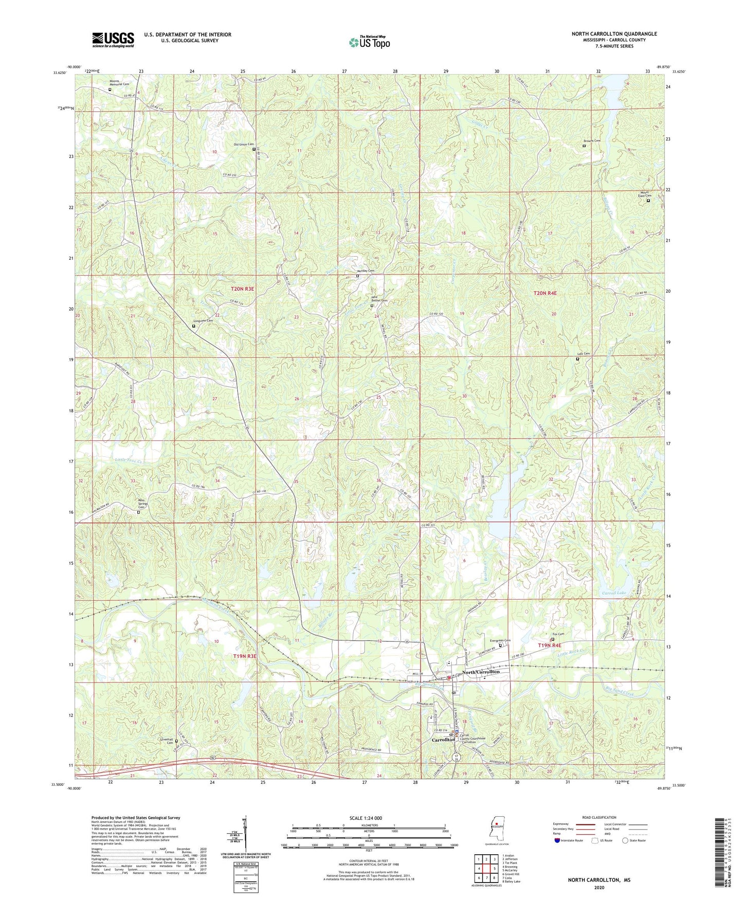
2024 topographic map quadrangle North Carrollton in the state of Mississippi. Scale: 1:24000. Based on the newly updated USGS 7.5' US Topo map series, this map is in the following counties: Carroll. The map contains contour data, water features, and other items you are used to seeing on USGS maps, but also has updated roads and other features. This is the next generation of topographic maps. Printed on high-quality waterproof paper with UV fade-resistant inks.
Quads adjacent to this one:
West: Browning
Northwest: Avalon
North: Jefferson
Northeast: Tie Plant
East: McCarley
Southeast: Bailey Lake
South: Coila
Southwest: Gravel Hill
This map covers the same area as the classic USGS quad with code o33089e8.
Contains the following named places: Beasley Creek, Beck School, Bethlehem Church, Big Sand Creek Structure Y-32-31 Dam, Big Sand Creek Structure Y-32-32 Dam, Big Sand Creek Structure Y-32-33 Dam, Big Sand Creek Structure Y-32-49 Dam, Big Sand Watershed Y-32-1 Dam, Big Sand Watershed Y-32-12 Dam, Big Sand Watershed Y-32-2 Dam, Big Sand Watershed Y-32-3 Dam, Big Sand Watershed Y-32-4 Dam, Billups Branch, Browns Cemetery, Browns Church, Carpenter Creek, Carroll Academy, Carroll County Sheriff's Office, Carroll Lake, Carrollton, Carrollton Baptist Church, Carrollton Post Office, Carrollton Presbyterian Church, Evergreen Cemetery, Fox Cemetery, Gee Branch, Greater Helm Church, J Z George High School, Jones Church, Little Rock Creek, Little Sand Creek, Longview Cemetery, Longview Church, Lott Cemetery, Marshall Elementary School, Monday Cemetery, Moores Memorial Cemetery, Morehead Church, Morehead School, Moss Springs Cemetery, Moss Springs Church, Mount Elam Cemetery, Mount Elam Church, Mount Pisgah Church, New Bethel Cemetery, New Bethel Church, New Jerusalem Church, North Carrollton, North Carrollton Post Office, Old Union Cemetery, Old Union Church, Pleasant Grove Church, Providence Church, Silvenhall Cemetery, Tanyard Branch, Tilman Chapel, Town of Carrollton, Town of North Carrollton, ZIP Code: 38947


