MyTopo
Joseph Mississippi US Topo Map
Couldn't load pickup availability
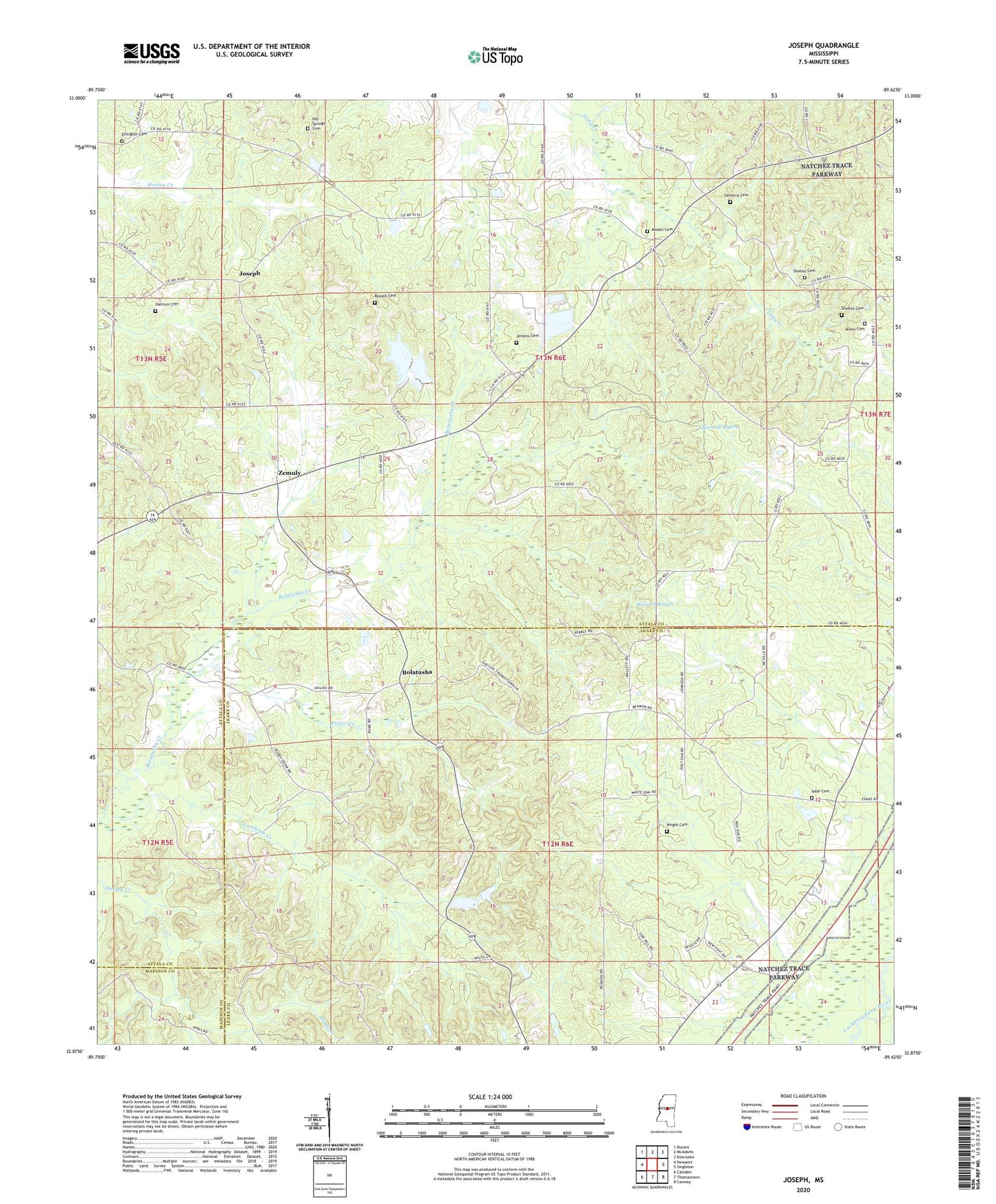
2024 topographic map quadrangle Joseph in the state of Mississippi. Scale: 1:24000. Based on the newly updated USGS 7.5' US Topo map series, this map is in the following counties: Attala, Leake, Madison. The map contains contour data, water features, and other items you are used to seeing on USGS maps, but also has updated roads and other features. This is the next generation of topographic maps. Printed on high-quality waterproof paper with UV fade-resistant inks.
Quads adjacent to this one:
West: Newport
Northwest: Durant
North: McAdams
Northeast: Kosciusko
East: Singleton
Southeast: Conway
South: Thomastown
Southwest: Camden
This map covers the same area as the classic USGS quad with code o32089h6.
Contains the following named places: Bolatusha, Cedar Grove Baptist Church, Cow Barn School, Ellington Cemetery, Fisher Creek, Galilee Church, Hallbrook Lake Dam, Harmon Cemetery, Hill Springs Cemetery, Hill Springs Church, Hinds Creek, Jenkins Cemetery, Jones Lake Dam, Joseph, Joseph School, Landrum Creek, Malett Cemetery, Malett School, Merchant Creek, Morgan School, Nash Cemetery, Palestine Church, Russell Cemetery, Rutherford, Samarra Cemetery, Shelley Cemetery, Skeen Cemetery, Thomastown Church, Tom Bell Pond Dam, Wright Cemetery, Zemuly, Zemuly Church, Zemuly School