MyTopo
Prentiss West Mississippi US Topo Map
Couldn't load pickup availability
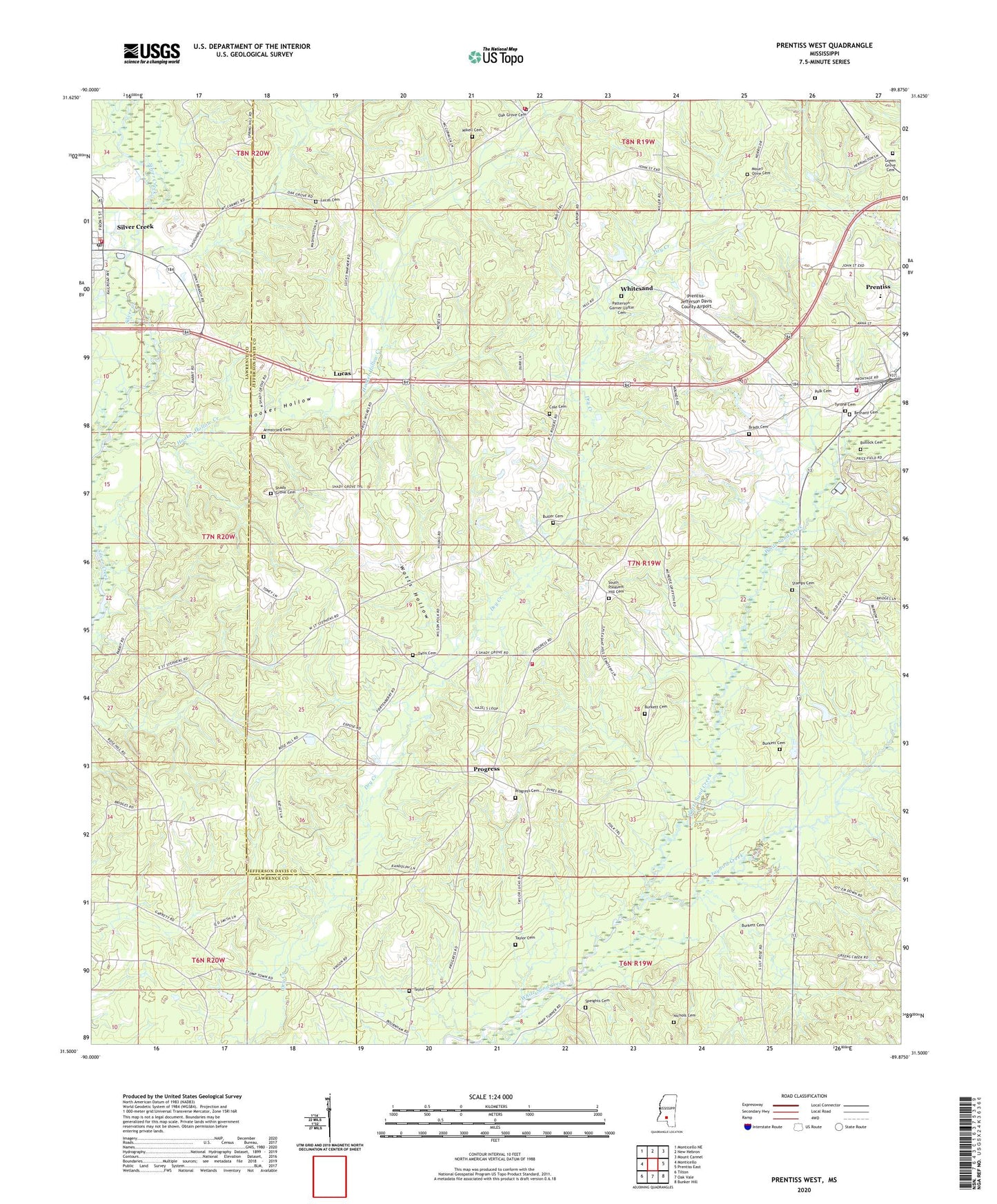
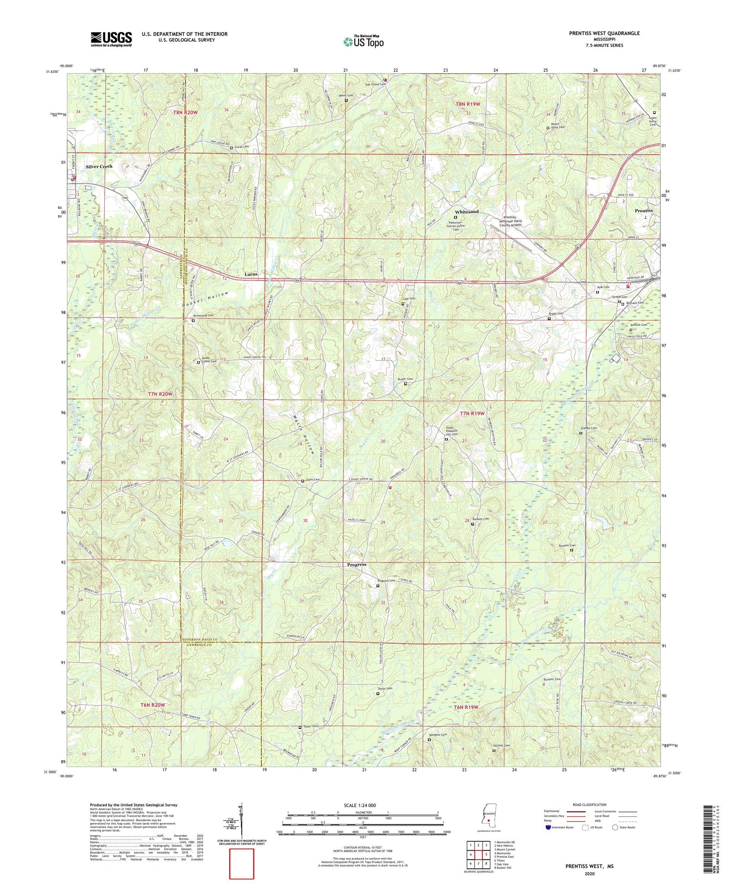
2024 topographic map quadrangle Prentiss West in the state of Mississippi. Scale: 1:24000. Based on the newly updated USGS 7.5' US Topo map series, this map is in the following counties: Jefferson Davis, Lawrence. The map contains contour data, water features, and other items you are used to seeing on USGS maps, but also has updated roads and other features. This is the next generation of topographic maps. Printed on high-quality waterproof paper with UV fade-resistant inks.
Quads adjacent to this one:
West: Monticello
Northwest: Monticello NE
North: New Hebron
Northeast: Mount Carmel
East: Prentiss East
Southeast: Bunker Hill
South: Oak Vale
Southwest: Tilton
This map covers the same area as the classic USGS quad with code o31089e8.
Contains the following named places: Armstrong Cemetery, Bethany Baptist Church, Bethany Cemetery, Beulah Williams Elementary School, Brady Cemetery, Bullock Cemetery, Burkett Cemetery, Butler Cemetery, Cole Cemetery, Dry Creek School, Green Grove Cemetery, Green Grove Church, Highway 84 West Fire Department, Highway 84 West Fire Department Station 1 Headquarters, Hooker Hollow, Hooker Hollow Creek, Jaybird Creek, Legions Lake Dam, Lucas, Lucas Cemetery, Lucas Church, Lucas School, Mikell Cemetery, Mount Olive Cemetery, Nelda Rankin Lake Dam, Nichols Cemetery, Oak Grove Cemetery, Oak Grove Church, Oak Ridge School, Oatis Cemetery, Patterson-Garner-Loftin Cemetery, Pleasant Hill Church, Polk Cemetery, Prentiss Christian School, Prentiss Fire Department, Prentiss Lagoon Dam, Prentiss-Jefferson Davis County Airport, Progress, Progress Cemetery, Progress School, Rose Hill Church, Shady Grove Cemetery, Shady Grove Church, Silver Creek, Silver Creek Attendance Center, Silver Creek Post Office, Silver Creek Volunteer Fire and Rescue Department, South Pleasant Hill Cemetery, Speights Cemetery, Stamps Cemetery, Supervisor District 1, Taylor Cemetery, Tyrone Cemetery, Watts Hollow, Weathersbys Box, White Sand School, Whitesand


