MyTopo
Tilton Mississippi US Topo Map
Couldn't load pickup availability
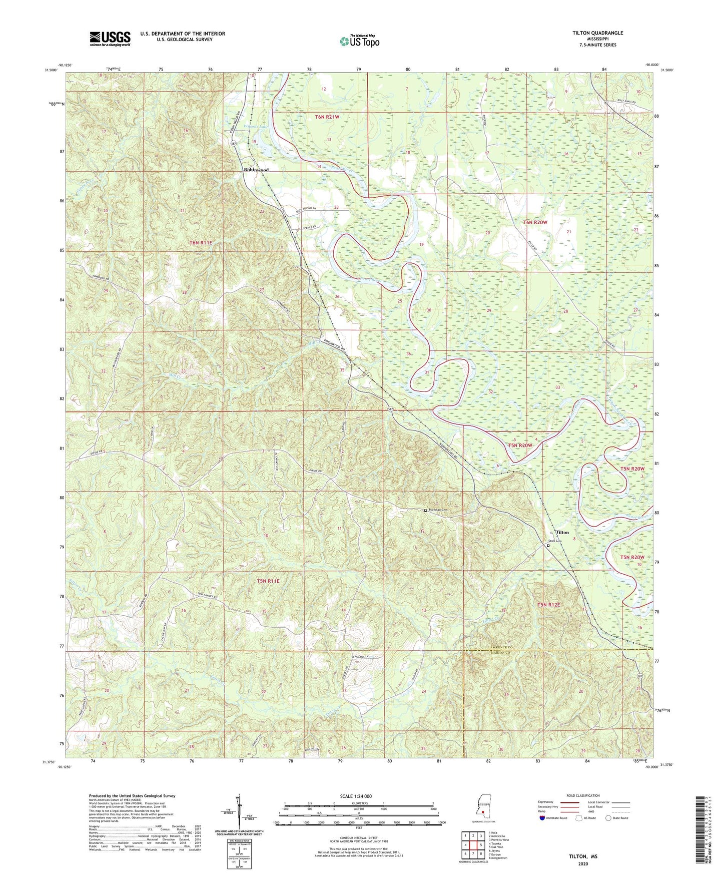
2024 topographic map quadrangle Tilton in the state of Mississippi. Scale: 1:24000. Based on the newly updated USGS 7.5' US Topo map series, this map is in the following counties: Lawrence, Marion. The map contains contour data, water features, and other items you are used to seeing on USGS maps, but also has updated roads and other features. This is the next generation of topographic maps. Printed on high-quality waterproof paper with UV fade-resistant inks.
Quads adjacent to this one:
West: Topeka
Northwest: Nola
North: Monticello
Northeast: Prentiss West
East: Oak Vale
Southeast: Morgantown
South: Darbun
Southwest: Jayess
This map covers the same area as the classic USGS quad with code o31090d1.
Contains the following named places: Bozeman Cemetery, Chinalee Church, Mill Creek, Robinwood, Sauls Cemetery, Sauls Valley Church, Spring Hill Church, Tilton, Tilton Creek, Tilton Lookout Tower, White Sand Creek, Wilsons Lake