MyTopo
Sparta Mississippi US Topo Map
Couldn't load pickup availability
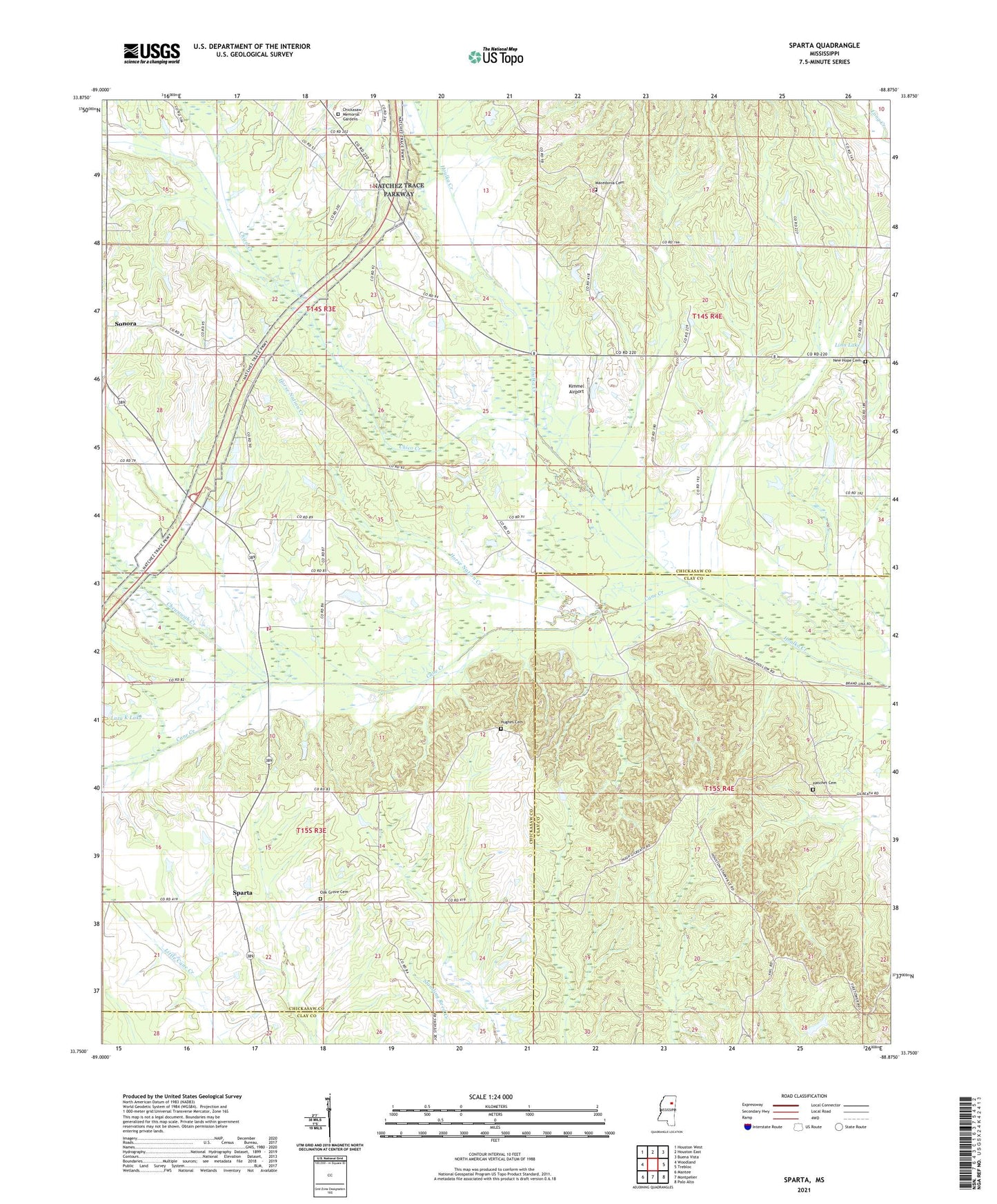
2024 topographic map quadrangle Sparta in the state of Mississippi. Scale: 1:24000. Based on the newly updated USGS 7.5' US Topo map series, this map is in the following counties: Chickasaw, Clay. The map contains contour data, water features, and other items you are used to seeing on USGS maps, but also has updated roads and other features. This is the next generation of topographic maps. Printed on high-quality waterproof paper with UV fade-resistant inks.
Quads adjacent to this one:
West: Woodland
Northwest: Houston West
North: Houston East
Northeast: Buena Vista
East: Trebloc
Southeast: Palo Alto
South: Montpelier
Southwest: Mantee
This map covers the same area as the classic USGS quad with code o33088g8.
Contains the following named places: Amity Baptist Church, Arbor Grove Baptist Church, Bethel School, Bluff Springs School, Bray Creek, Brown School, Cane Creek, Chewawah Creek, Chickasaw Memorial Gardens, Chico Creek, Elize, Enon, Enon Primitive Baptist Church, Enon School, Fellowship Baptist Church, Gene Verell Lake Dam, Hatchet Cemetery, Hollomans Lake Dam, Hope Zion School, Horse Nation Creek, Hughes Cemetery, Johnson School, Johnsons Chapel Methodist Church, Kimmel Airport, Linn Lake, Macedonia Cemetery, Macedonia Church, Macedonia School, McCrory Lake Dam, Midway School, Moon Chapel, New Hope Cemetery, New Hope Church, New Zion Church, Oak Grove Cemetery, Oak Grove School, Oak Grove Shool, Pleasant Ridge Missionary Baptist Church, Prospect, Prospect Church, Sonora, Sparta, Sparta Methodist Church, Sparta School, Stevens Lake Dam, Supervisor District 5, WCBI-TV (Columbus), Woodland Volunteer Fire Department Station 2, Zion Springs Church