MyTopo
Felps Louisiana US Topo Map
Couldn't load pickup availability
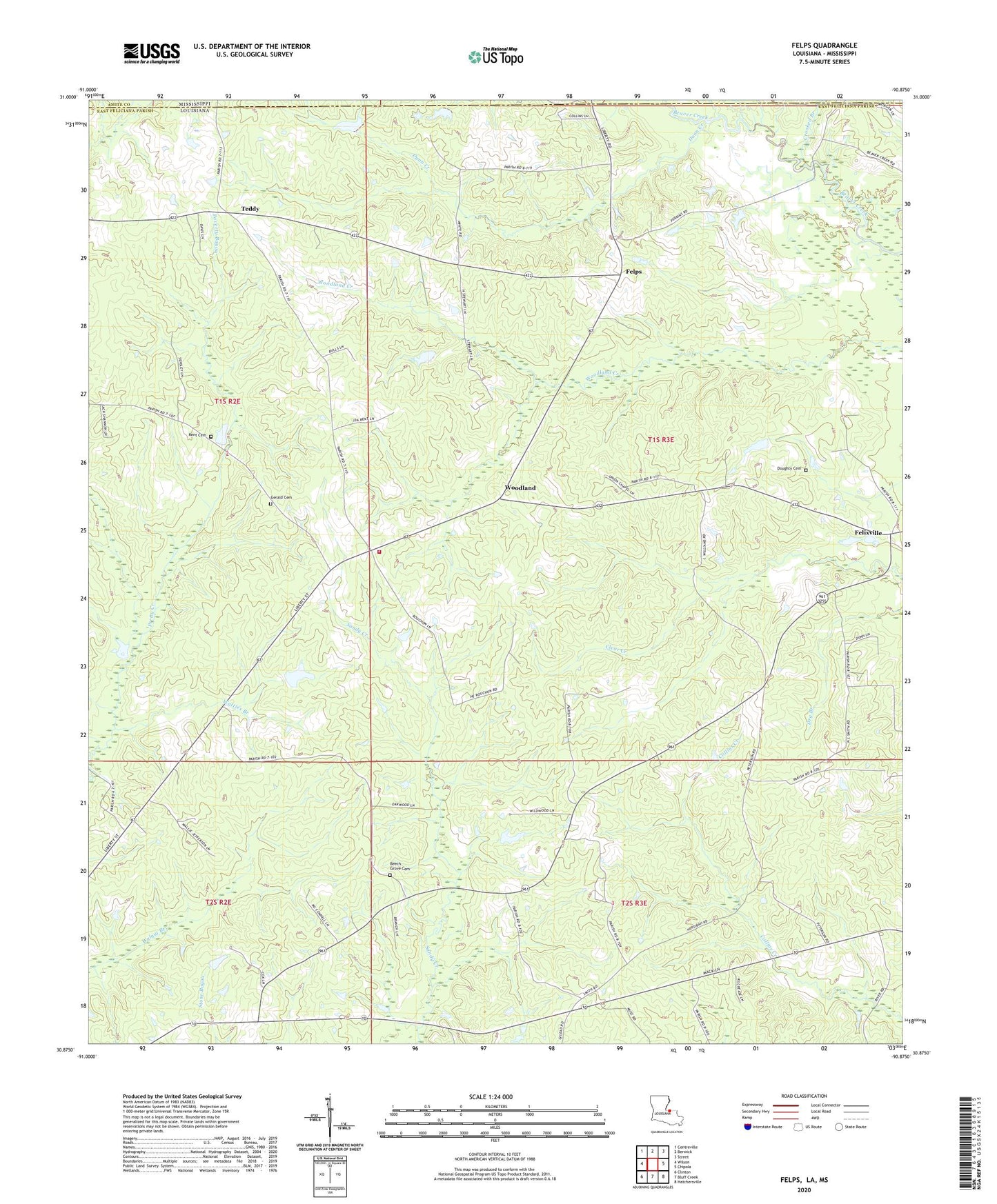
2024 topographic map quadrangle Felps in the state of Louisiana. Scale: 1:24000. Based on the newly updated USGS 7.5' US Topo map series, this map is in the following counties: East Feliciana, Amite. The map contains contour data, water features, and other items you are used to seeing on USGS maps, but also has updated roads and other features. This is the next generation of topographic maps. Printed on high-quality waterproof paper with UV fade-resistant inks.
Quads adjacent to this one:
West: Wilson
Northwest: Centreville
North: Berwick
Northeast: Street
East: Chipola
Southeast: Hatchersville
South: Bluff Creek
Southwest: Clinton
Contains the following named places: Beech Grove Baptist Church Cemetery, Beech Grove Church, Beech Grove School, Camp Atakapa, Camp Avondale, Clear Creek African Methodist Episcopal Church, Clear Creek School, Clinton Lookout Tower, Crooked Branch, Day School, Days Chapel, Doughty Cemetery, Dunn Creek, East Feliciana Elementary School, Eighth Ward School, Felixville, Felixville Post Office, Felps, First United Pentecostal Church, Freeman Landing Strip, Gerald Cemetery, Greater Macedonia Baptist Church, Hepzibah Church, Holland Lake Dam, Holy Grove Plantation, Kent Cemetery, Kents Store, Littlefield Airport, Macedonia Church, Mount Calvary Church, Mount Carmel Church, Pineville School, Poverty Bayou, Teddy, Troy, Union Church, Union School, Ward Eight, Wattles Branch, Woodland, Woodland Church, Woodland Community Center, Woodland Volunteer Fire Department, Woody Perkins Lake Dam


