MyTopo
Strong Mississippi US Topo Map
Couldn't load pickup availability
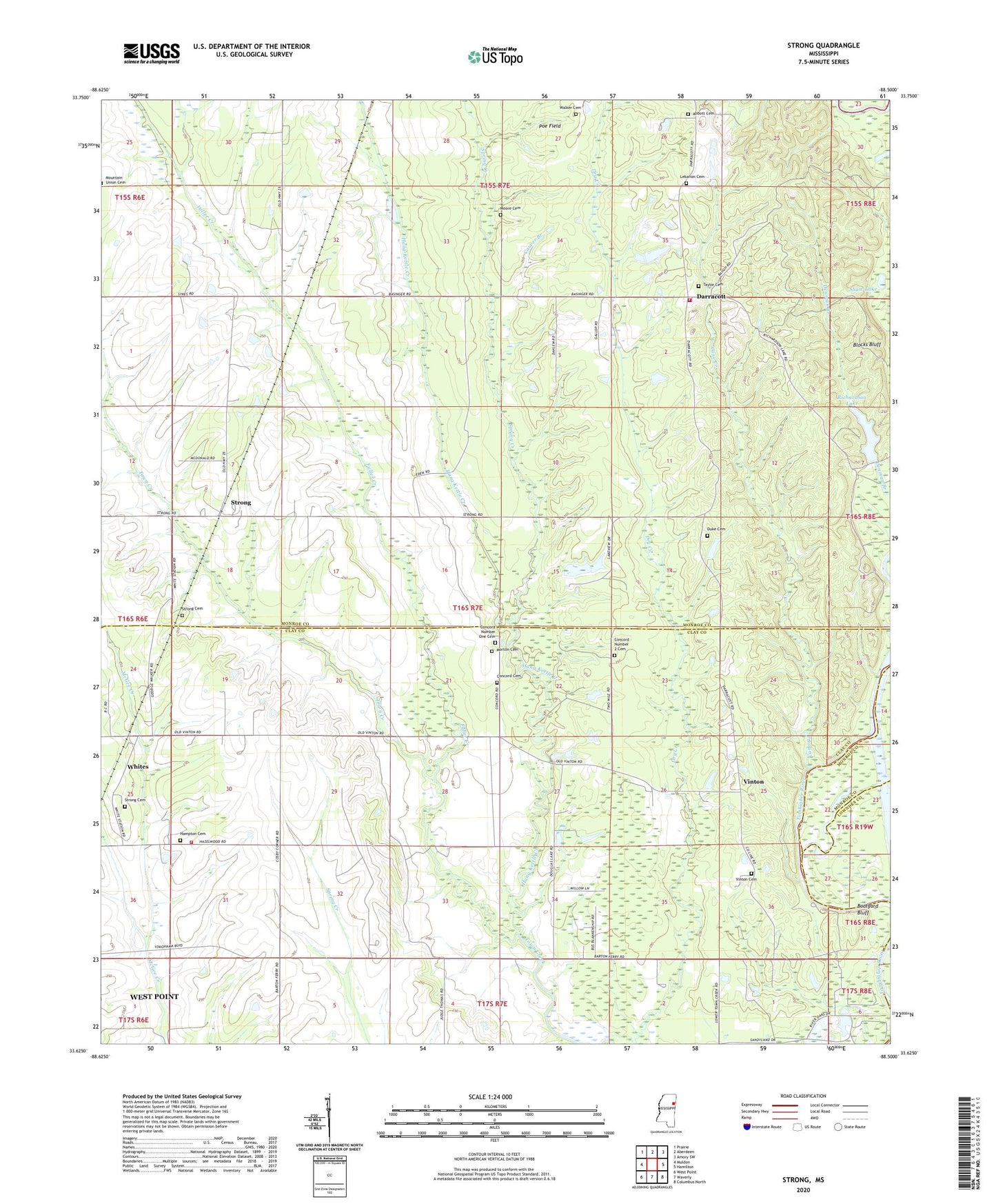
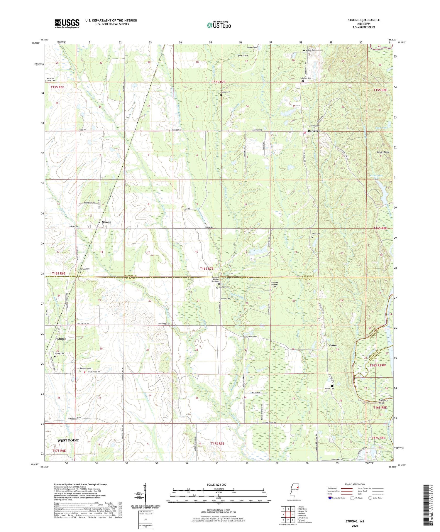
2024 topographic map quadrangle Strong in the state of Mississippi. Scale: 1:24000. Based on the newly updated USGS 7.5' US Topo map series, this map is in the following counties: Monroe, Clay, Lowndes. The map contains contour data, water features, and other items you are used to seeing on USGS maps, but also has updated roads and other features. This is the next generation of topographic maps. Printed on high-quality waterproof paper with UV fade-resistant inks.
Quads adjacent to this one:
West: Muldon
Northwest: Prairie
North: Aberdeen
Northeast: Amory SW
East: Hamilton
Southeast: Columbus North
South: Waverly
Southwest: West Point
This map covers the same area as the classic USGS quad with code o33088f5.
Contains the following named places: Abbott Cemetery, Andrews School, Barton, Barton Ferry Marina, Barton Ferry Recreation Area, Bethel Baptist Church, Blocks Bluff, Boatyard Bluff, Buttahatchee River, Cane Creek, Carpenters Landing, Carver Branch, Clay County Volunteer Fire Department Unit 100 Northeast, Colbert, Colbert Male and Female Academy, Colberts Ford, Concord Baptist Church, Concord Cemetery, Concord Number 1 Church, Concord Number 2 Cemetery, Concord Number 2 Church, Concord Number One Cemetery, Corrine, Dabbs Lake Dam, Darracott, Darracott High School, Douglas Lake, Duke Cemetery, Free Grace Church, Fuller Creek, Hampton Cemetery, Hang Kettle Creek, Herman Presbyterian Church, Lebanon Cemetery, Lebanon Church, Lebanon School, London Church, Moore Cemetery, Morton Cemetery, Mount Zion Church, Old Darracott School, Paine Chapel School, Poe Field, Prairie Volunteer Fire Department Station 2, Richardson Lake, Richardson Lake Dam, Sandy Clay School, Shaw Lake, Spring Creek, Spring Creek Church, Spring Creek School, Strong, Strong Cemetery, Supervisor District 1, Sweet Pilgrim Church, Taylor Cemetery, Taylors Inn, The Flatwoods, Town Creek Missionary Baptist Church, Vinton, Vinton Cemetery, Vinton Ferry, Walker Cemetery, Whites, Williams School


