MyTopo
Jayess Mississippi US Topo Map
Couldn't load pickup availability
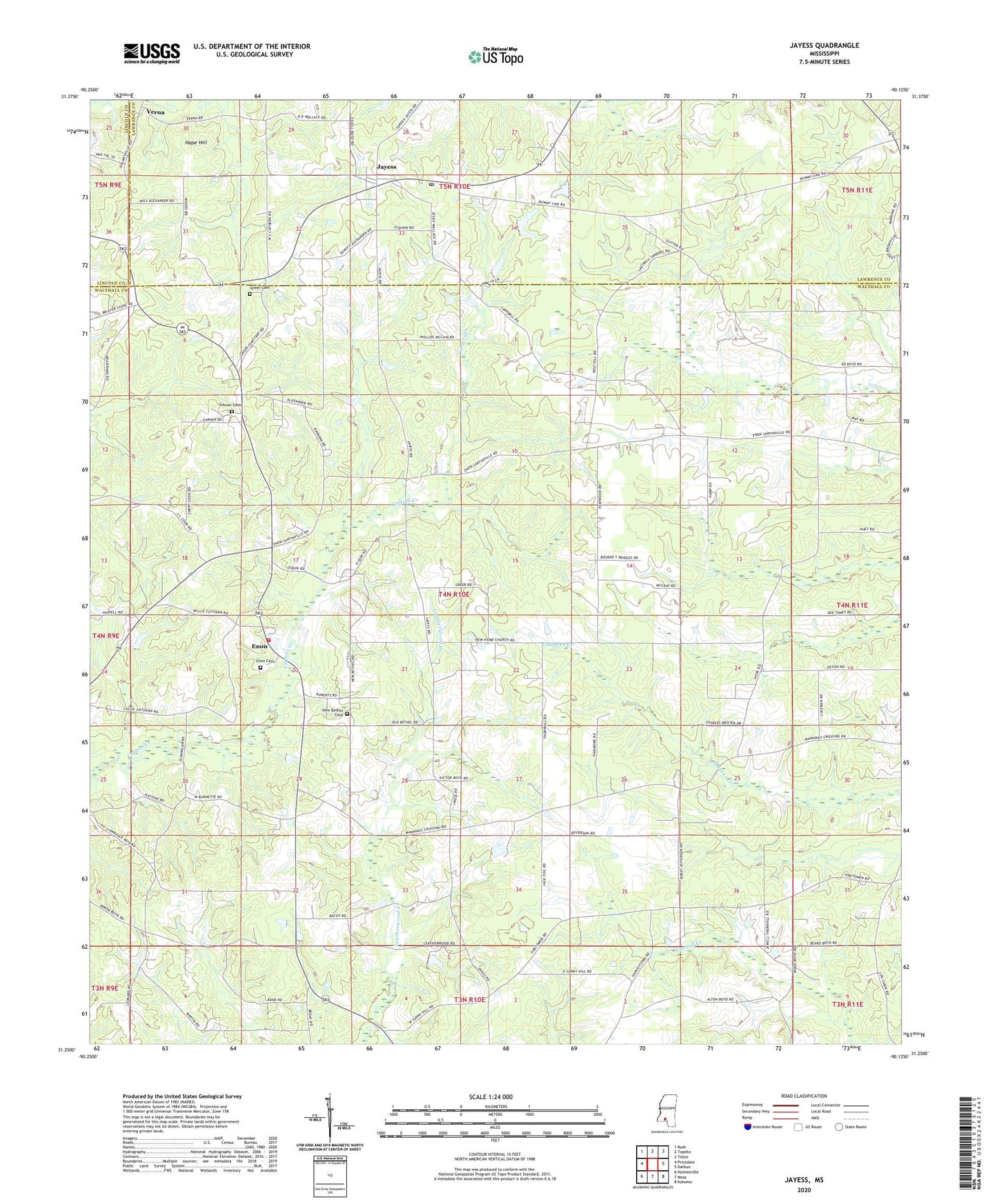
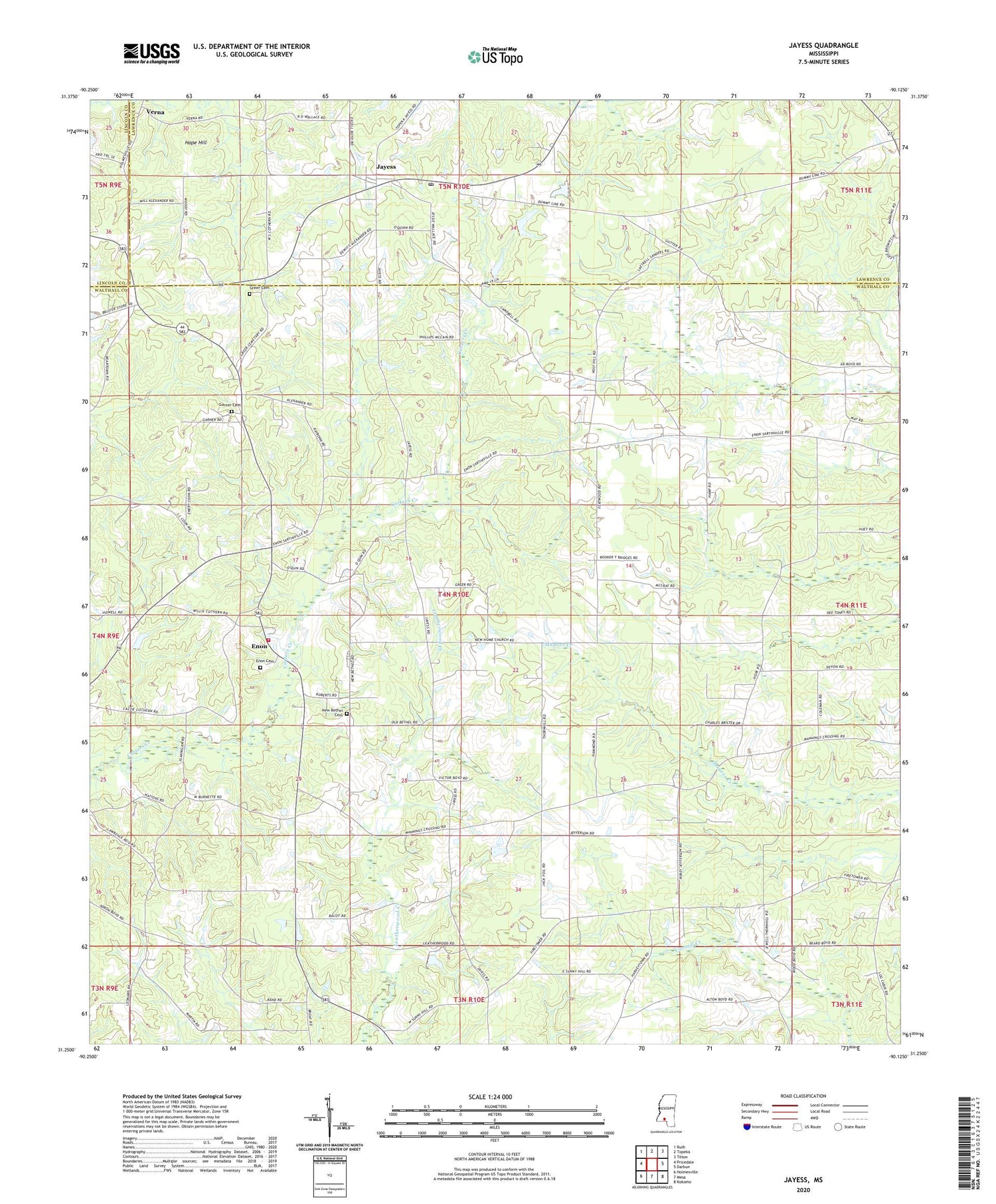
2024 topographic map quadrangle Jayess in the state of Mississippi. Scale: 1:24000. Based on the newly updated USGS 7.5' US Topo map series, this map is in the following counties: Walthall, Lawrence, Lincoln. The map contains contour data, water features, and other items you are used to seeing on USGS maps, but also has updated roads and other features. This is the next generation of topographic maps. Printed on high-quality waterproof paper with UV fade-resistant inks.
Quads adjacent to this one:
West: Pricedale
Northwest: Ruth
North: Topeka
Northeast: Tilton
East: Darbun
Southeast: Kokomo
South: Mesa
Southwest: Holmesville
This map covers the same area as the classic USGS quad with code o31090c2.
Contains the following named places: Bethel Church, Carters Precinct, East Sunny Hill Church, Enon, Enon Baptist Church, Enon Cemetery, Enon Fire Department, Galilee Church, Garner Cemetery, Greer Cemetery, Hope Hill, Hope School, Jayess, Jayess Baptist Church, Jayess Post Office, New Bethel Cemetery, New Bethel Jesus Name Church, New Bethel School, New Home Church, New Hope Church, Supervisor District 4, Verna, West Holy Hill Church, West Sunny Hill Missionary Baptist Church, ZIP Code: 39641