MyTopo
Avon Mississippi US Topo Map
Couldn't load pickup availability
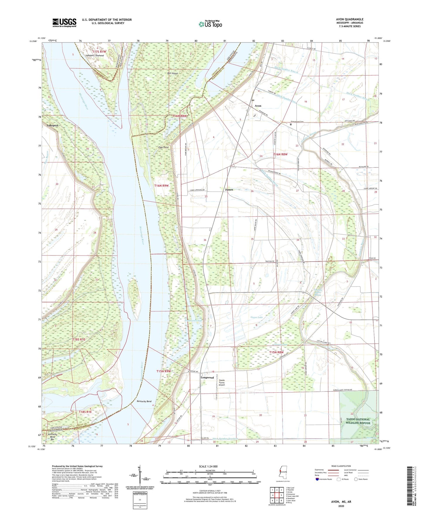
2024 topographic map quadrangle Avon in the states of Mississippi, Arkansas. Scale: 1:24000. Based on the newly updated USGS 7.5' US Topo map series, this map is in the following counties: Washington, Chicot. The map contains contour data, water features, and other items you are used to seeing on USGS maps, but also has updated roads and other features. This is the next generation of topographic maps. Printed on high-quality waterproof paper with UV fade-resistant inks.
Quads adjacent to this one:
West: Eminence
Northwest: Red Leaf
North: Wayside
Northeast: Arcola
East: Swan Lake NW
Southeast: Percy
South: Glen Allan
Southwest: Readland
This map covers the same area as the classic USGS quad with code o33091b1.
Contains the following named places: Alexander Memorial Baptist Church, American Cutoff Revetment, Auburn Landing, Avon, Avon Elementary School, Avon Post Office, Avon United Methodist Church, Cornfield Chute, Ditch Number Eleven, Ditch Number Fourteen, Ditch Number Nine A, Ditch Number Nine B, Ditch Number Ten, Eggs Point, Eggs Point Landing, Glenora Landing, Goose Lake, Granny Baker Bayou, Graymound Cemetery, Island Number 86, James, Kentucky Bend, Kentucky Bend Bar, Lake Washington, Lakeport Landing, Lakeport Towhead, Little Sister Church, Longwood, Longwood Chute, Longwood Landing, Mississippi Power and Light Company Lake Dam, Riverside Attendance Center, Saint James Church, Seven Oaks Landing, Silver Lake, Silver Lake Church, Steele Farms Airport, Stella Landing, Supervisor District 1, Whiskey Chute, ZIP Code: 38723


