MyTopo
Anutt Missouri US Topo Map
Couldn't load pickup availability
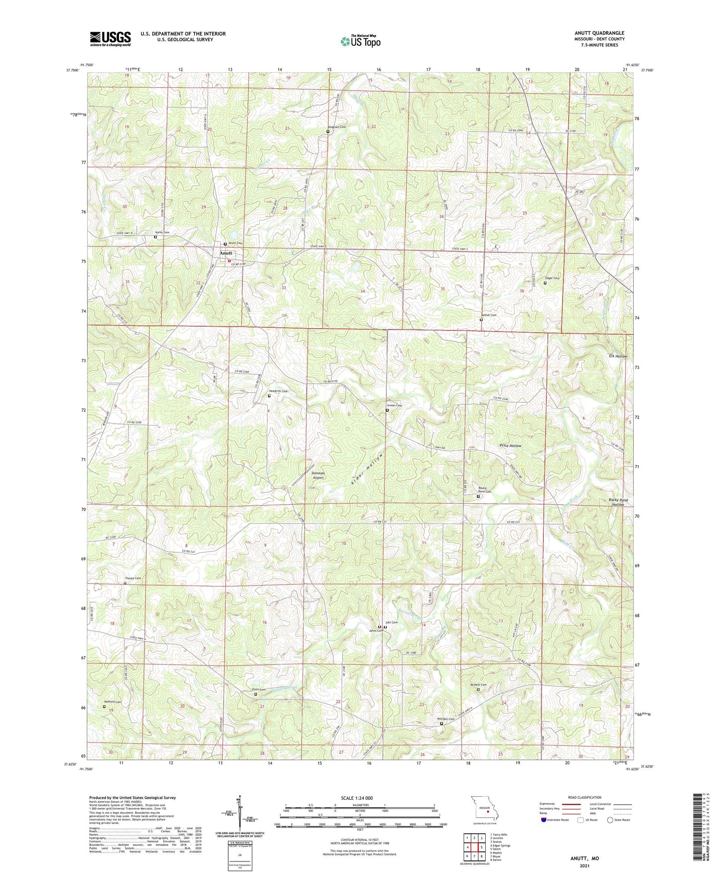
2021 topographic map quadrangle Anutt in the state of Missouri. Scale: 1:24000. Based on the newly updated USGS 7.5' US Topo map series, this map is in the following counties: Dent. The map contains contour data, water features, and other items you are used to seeing on USGS maps, but also has updated roads and other features. This is the next generation of topographic maps. Printed on high-quality waterproof paper with UV fade-resistant inks.
Quads adjacent to this one:
West: Edgar Springs
Northwest: Yancy Mills
North: Lecoma
Northeast: Seaton
East: Salem
Southeast: Darien
South: Rhyse
Southwest: Maples
This map covers the same area as the classic USGS quad with code o37091f6.
Contains the following named places: Alder Hollow, Anutt, Anutt Cemetery, Barnitz Prong, Bethel Cemetery, Bingham Cemetery, Clark Bank, Dent-Phelps R-3 School, Domeyer Airport, Edgar Cemetery, Elk Hollow, Enon Cemetery, Full Gospel Mission Church, Green Dam, Headrick Cemetery, Hedrick, Holt Creek, Inman Cemetery, Johi Cemetery, Johns Cemetery, Karns Cemetery, Lenox Rural Fire Department Station 2, McNeill Cemetery, Mitchell Cemetery, Mount Pisgah School, Porter Creek, Price Hollow, Rocky Pond Hollow, Round Pond, Round Pond Cemetery, Round Pond Church, Round Pond School, Success Church, Success School, Thorpe Cemetery, Township of Watkins, Wofford Cemetery