MyTopo
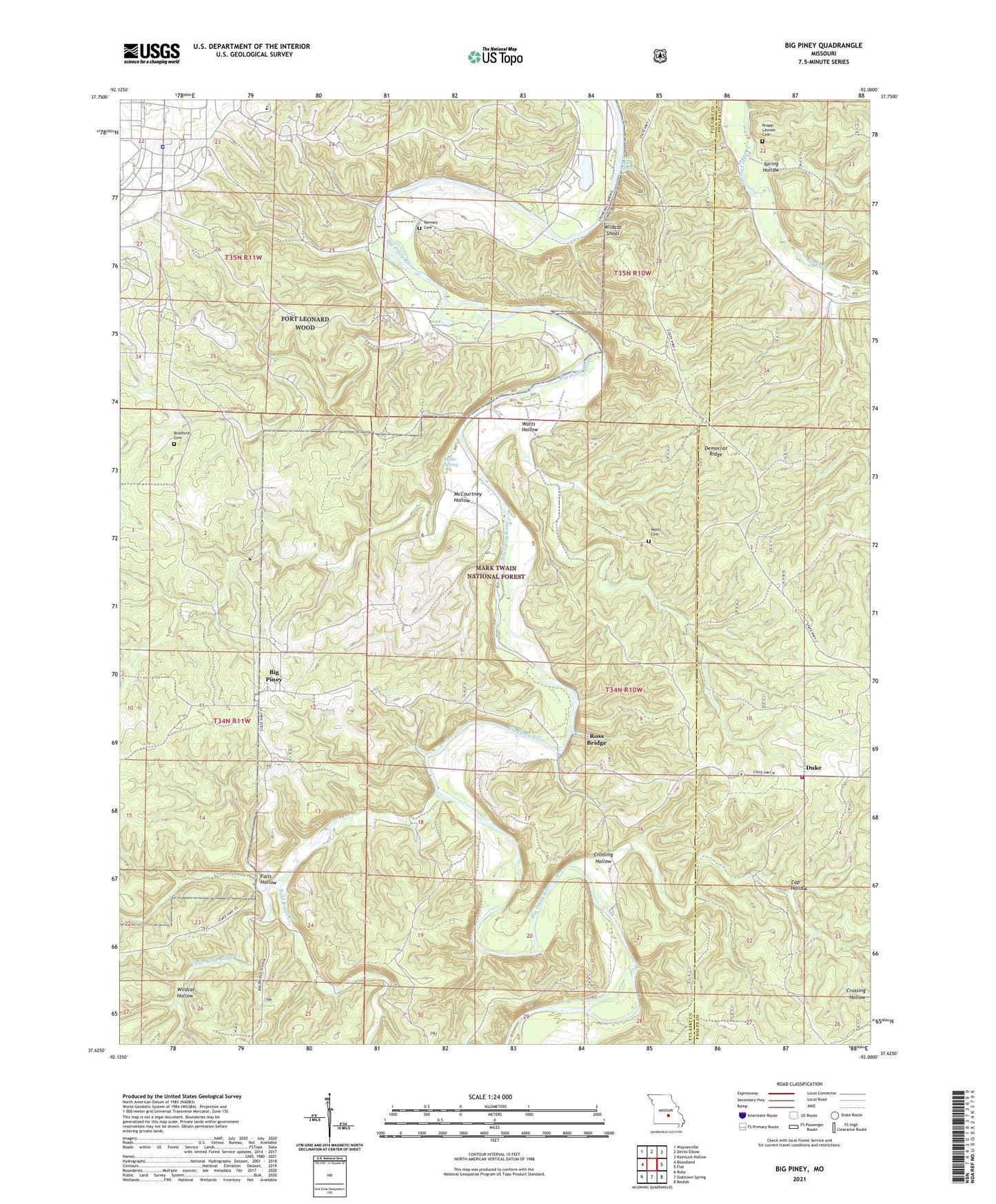
Big Piney Missouri US Topo Map
Couldn't load pickup availability
Also explore the Big Piney Forest Service Topo of this same quad for updated USFS data
2021 topographic map quadrangle Big Piney in the state of Missouri. Scale: 1:24000. Based on the newly updated USGS 7.5' US Topo map series, this map is in the following counties: Pulaski, Phelps. The map contains contour data, water features, and other items you are used to seeing on USGS maps, but also has updated roads and other features. This is the next generation of topographic maps. Printed on high-quality waterproof paper with UV fade-resistant inks.
Quads adjacent to this one:
West: Bloodland
Northwest: Waynesville
North: Devils Elbow
Northeast: Kaintuck Hollow
East: Flat
Southeast: Beulah
South: Slabtown Spring
Southwest: Roby
This map covers the same area as the classic USGS quad with code o37092f1.
Contains the following named places: Bald Ridge Creek, Big Piney, Big Piney National Scenic Trail, Bloodland Quad Number 3 Dam, Bradford Cemetery, Cap Hollow, Crossing Hollow, Dairy Pond, Democrat Ridge, Democrat School, Duke, Duke Rural Fire Department, Falls Hollow, Fort Leonard Wood Police Department, Happy Hollow Beach, Hopewell Church, Hopewell School, Keatons Place, Knapp Lawson Cemetery, Little Bald Ridge Creek, McCourtney Hollow, Miller Spring, Pine Bluff School, Piney Lookout Tower, Ramsey Cemetery, Ramsey Ford, Ramseys Place, Rolla - Houston Ranger Districts, Rolling Heath School, Ross Bridge, Spring Hollow, Stone Mill Spring, Township of Piney, Tribune, Watts Cemetery, Watts Hollow, Wildcat Hollow, Wildcat Shoal, ZIP Code: 65461