MyTopo
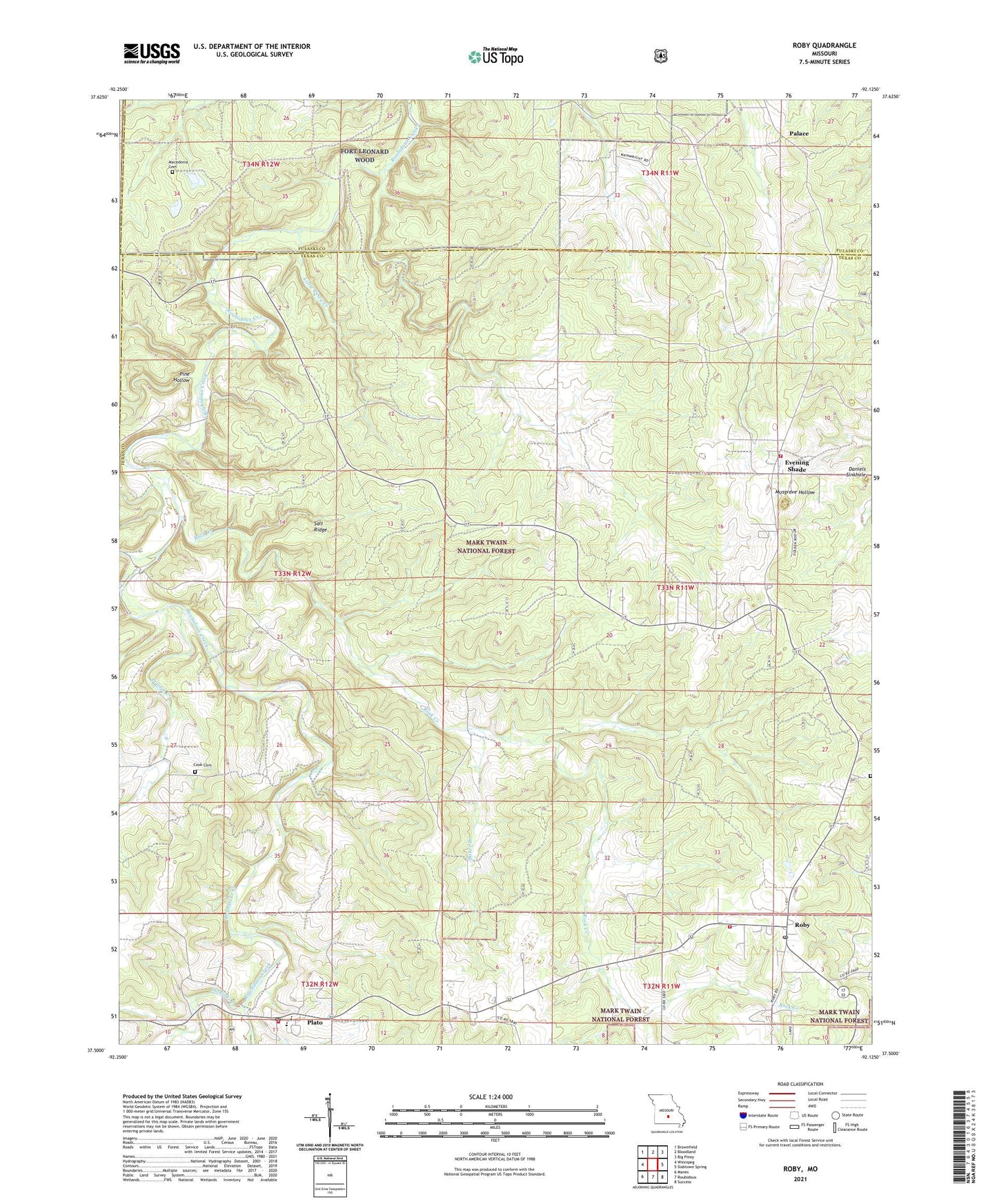
Roby Missouri US Topo Map
Couldn't load pickup availability
Also explore the Roby Forest Service Topo of this same quad for updated USFS data
2021 topographic map quadrangle Roby in the state of Missouri. Scale: 1:24000. Based on the newly updated USGS 7.5' US Topo map series, this map is in the following counties: Texas, Pulaski, Laclede. The map contains contour data, water features, and other items you are used to seeing on USGS maps, but also has updated roads and other features. This is the next generation of topographic maps. Printed on high-quality waterproof paper with UV fade-resistant inks.
Quads adjacent to this one:
West: Winnipeg
Northwest: Brownfield
North: Bloodland
Northeast: Big Piney
East: Slabtown Spring
Southeast: Success
South: Roubidoux
Southwest: Manes
This map covers the same area as the classic USGS quad with code o37092e2.
Contains the following named places: Baker Branch, Blackjack School, Bloodland School, Cook Cemetery, Daniels Sinkhole, Doolittle Creek, Evening Shade, Little Piney Creek, Macedonia Cemetery, Macedonia Church, Old Evening Shade, Palace, Palace CCC Camp, Pine Hollow, Pine Hollow School, Plato, Plato Post Office, Plato Rural Fire Protection Association, Prairie Creek, Roby, Roby Fire Department, Roby Fire Department Evening Shade District, Roby Lookout Tower, Roby Post Office, Rock Creek, Rodeo Stadium, Salt Ridge, Township of Roubidoux, Village of Plato, ZIP Code: 65552