MyTopo
Catron Missouri US Topo Map
Couldn't load pickup availability
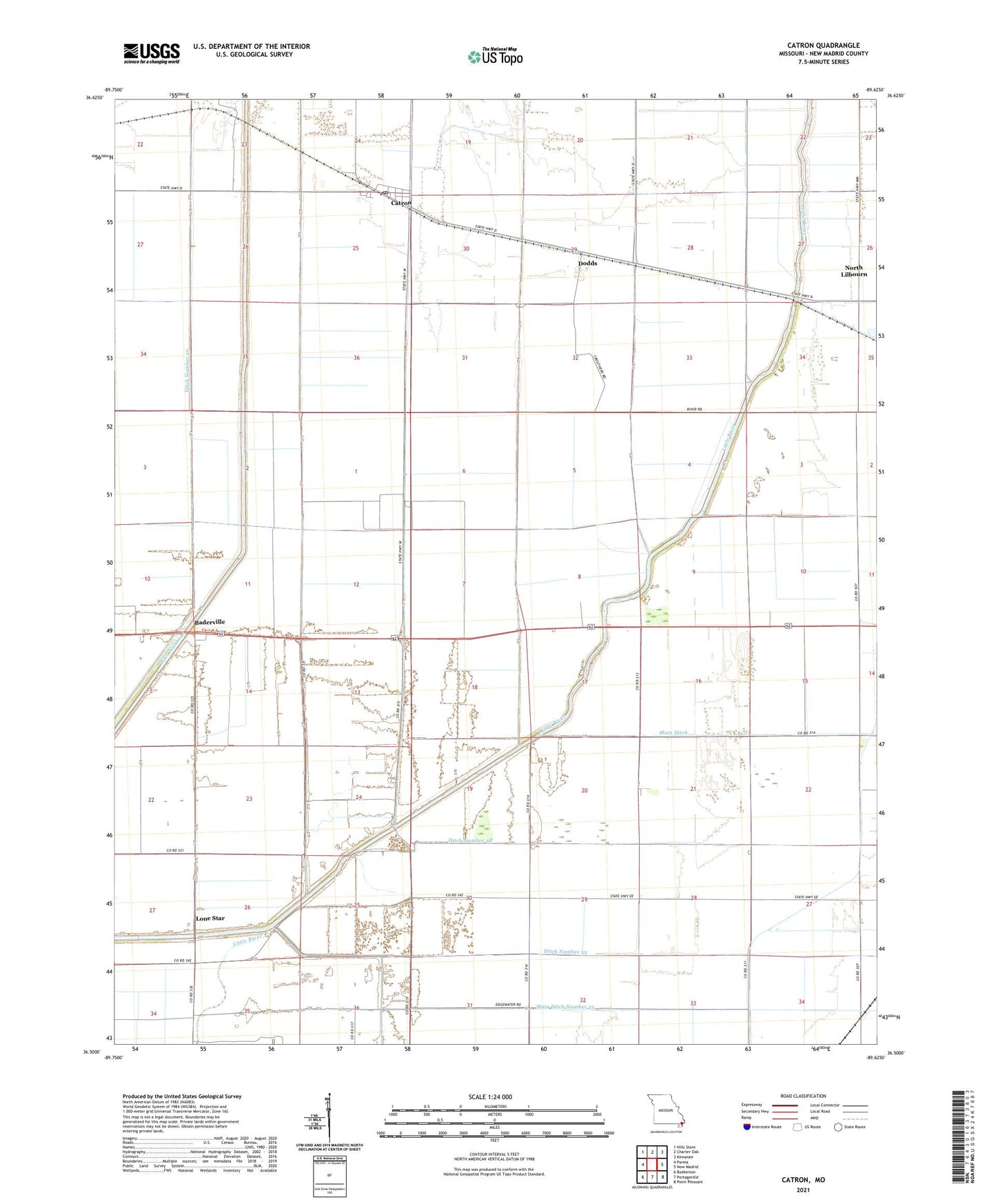
2021 topographic map quadrangle Catron in the state of Missouri. Scale: 1:24000. Based on the newly updated USGS 7.5' US Topo map series, this map is in the following counties: New Madrid. The map contains contour data, water features, and other items you are used to seeing on USGS maps, but also has updated roads and other features. This is the next generation of topographic maps. Printed on high-quality waterproof paper with UV fade-resistant inks.
Quads adjacent to this one:
West: Parma
Northwest: Hills Store
North: Charter Oak
Northeast: Kewanee
East: New Madrid
Southeast: Point Pleasant
South: Portageville
Southwest: Boekerton
This map covers the same area as the classic USGS quad with code o36089e6.
Contains the following named places: Baderville, Catron, Catron Post Office, Ditch Number 40, Ditch Number 48, Ditch Number 52, Dodds, Hondin, Krepin, Lone Star, Main Ditch, Main Ditch Number 32, New Madrid County, Sky, Town of Catron, Township of La Font, Township of Lewis, Woodrow Church, ZIP Code: 63862