
MyTopo
Cosby Missouri US Topo Map
Couldn't load pickup availability
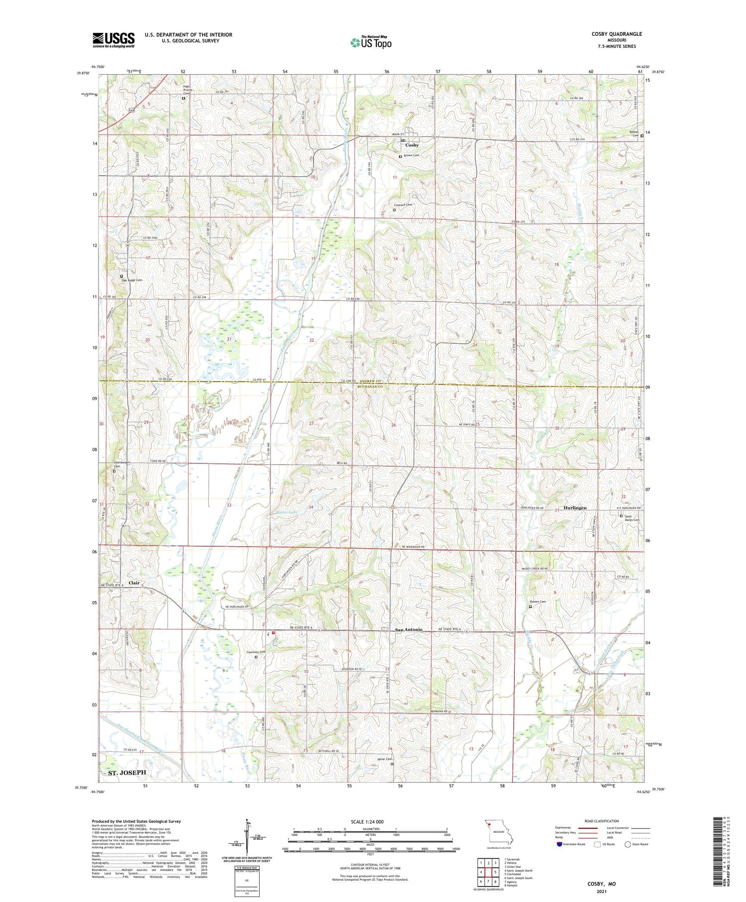
2021 topographic map quadrangle Cosby in the state of Missouri. Scale: 1:24000. Based on the newly updated USGS 7.5' US Topo map series, this map is in the following counties: Buchanan, Andrew. The map contains contour data, water features, and other items you are used to seeing on USGS maps, but also has updated roads and other features. This is the next generation of topographic maps. Printed on high-quality waterproof paper with UV fade-resistant inks.
Quads adjacent to this one:
West: Saint Joseph North
Northwest: Savannah
North: Helena
Northeast: Union Star
East: Clarksdale
Southeast: Hemple
South: Agency
Southwest: Saint Joseph South
Contains the following named places: Bermond School, Bessie Ellison Elementary School, Bethel Cemetery, Bethel School, Bowen Cemetery, Brown Cemetery, Carnegie School, Clair, Concord Cemetery, Cosby, Cosby Post Office, Cosby School, Courtney Cemetery, Eminence School, Fankhauser School, Freeman Park, Frogge School, High Prairie Cemetery, High Prairie Church, Hurlingen, Little Third Fork, Minor Cemetery, Muddy Creek, Northwestern Loess Hills, Oak Ridge Cemetery, Oak Ridge School, Ozenberger Cemetery, Pleasant Hill School, Saint Marys Cemetery, San Antonio, San Antonio Fire Protection District, Seven Dolors Church, Spring Hollow School, Stockbridge, Township of Marion, Township of Monroe, Village of Cosby, Wales Lake, Wales Lake Dam, Zimmerman School, Zion Church, ZIP Code: 64436


