MyTopo
Hemple Missouri US Topo Map
Couldn't load pickup availability
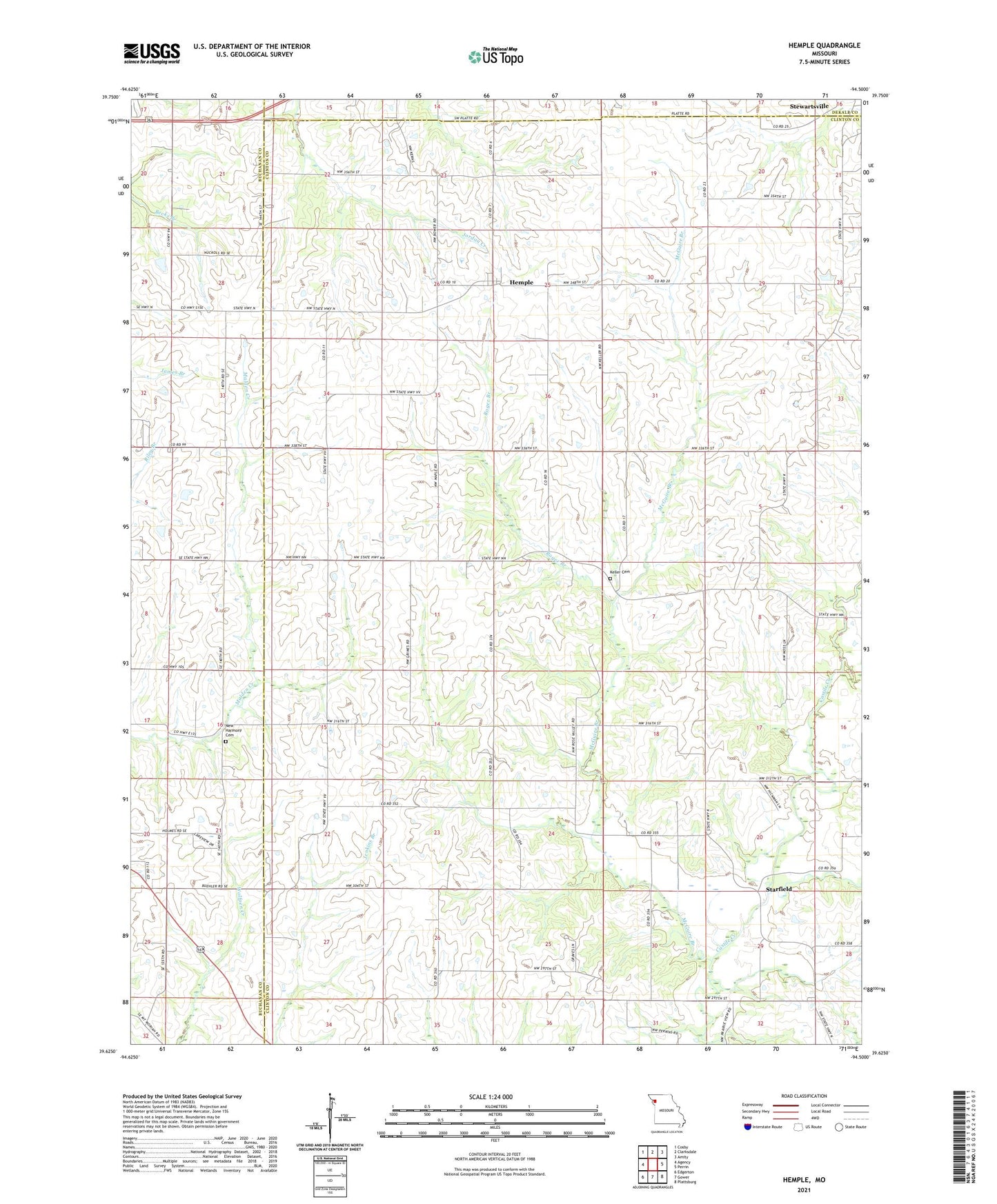
2021 topographic map quadrangle Hemple in the state of Missouri. Scale: 1:24000. Based on the newly updated USGS 7.5' US Topo map series, this map is in the following counties: Clinton, Buchanan, DeKalb. The map contains contour data, water features, and other items you are used to seeing on USGS maps, but also has updated roads and other features. This is the next generation of topographic maps. Printed on high-quality waterproof paper with UV fade-resistant inks.
Quads adjacent to this one:
West: Agency
Northwest: Cosby
North: Clarksdale
Northeast: Amity
East: Perrin
Southeast: Plattsburg
South: Gower
Southwest: Edgerton
This map covers the same area as the classic USGS quad with code o39094f5.
Contains the following named places: Ash Grove School, Campbell School, Freeman Chapel, Hemple, Hemple School, Independence Church, Keller Cemetery, McGuire Branch, Mount Zion Church, Mount Zion School, New Harmony Cemetery, New Harmony Church, Oakdale School, Pleasant Prairie School, Pleasant Valley Church, Prairie Lawn School, Roger Branch, Skipton Lake Dam, Starfield, Township of Lafayette, ZIP Code: 64490