MyTopo
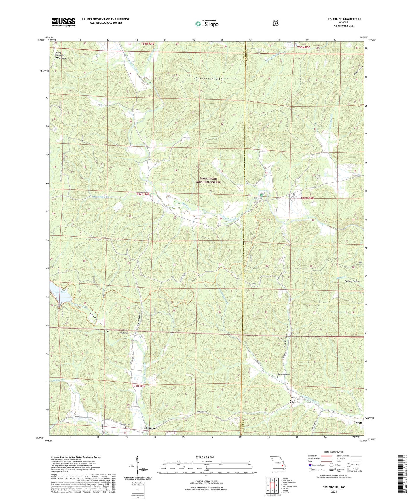
Des Arc NE Missouri US Topo Map
Couldn't load pickup availability
Also explore the Des Arc NE Forest Service Topo of this same quad for updated USFS data
2021 topographic map quadrangle Des Arc NE in the state of Missouri. Scale: 1:24000. Based on the newly updated USGS 7.5' US Topo map series, this map is in the following counties: Iron, Madison. The map contains contour data, water features, and other items you are used to seeing on USGS maps, but also has updated roads and other features. This is the next generation of topographic maps. Printed on high-quality waterproof paper with UV fade-resistant inks.
Quads adjacent to this one:
West: Glover
Northwest: Ironton
North: Lake Killarney
Northeast: Rhodes Mountain
East: Rock Pile Mountain
Southeast: Coldwater
South: Brunot
Southwest: Des Arc
This map covers the same area as the classic USGS quad with code o37090d5.
Contains the following named places: Black Mountain Cemetery, Black Mountain Church, Black Mountain School, Blue School, Collins Cemetery, Collins School, Crane Lake, Crane Lake Dam, Crane Lake Trail, Crane Lookout Tower, Davis Cemetery, Free United Church, Jewett, Jewett School, Kelley Cemetery, Liberty United Church, Marble Creek Campground, Minimum, Orr Hollow Creek, Patterson Creek, Patterson Mountain, Reader Hollow, Shoemaker Cemetery, Tilk Hollow, Township of Liberty, White Cemetery, White Hollow, Whitworth Mill, ZIP Code: 63621