MyTopo
El Dorado Springs South Missouri US Topo Map
Couldn't load pickup availability
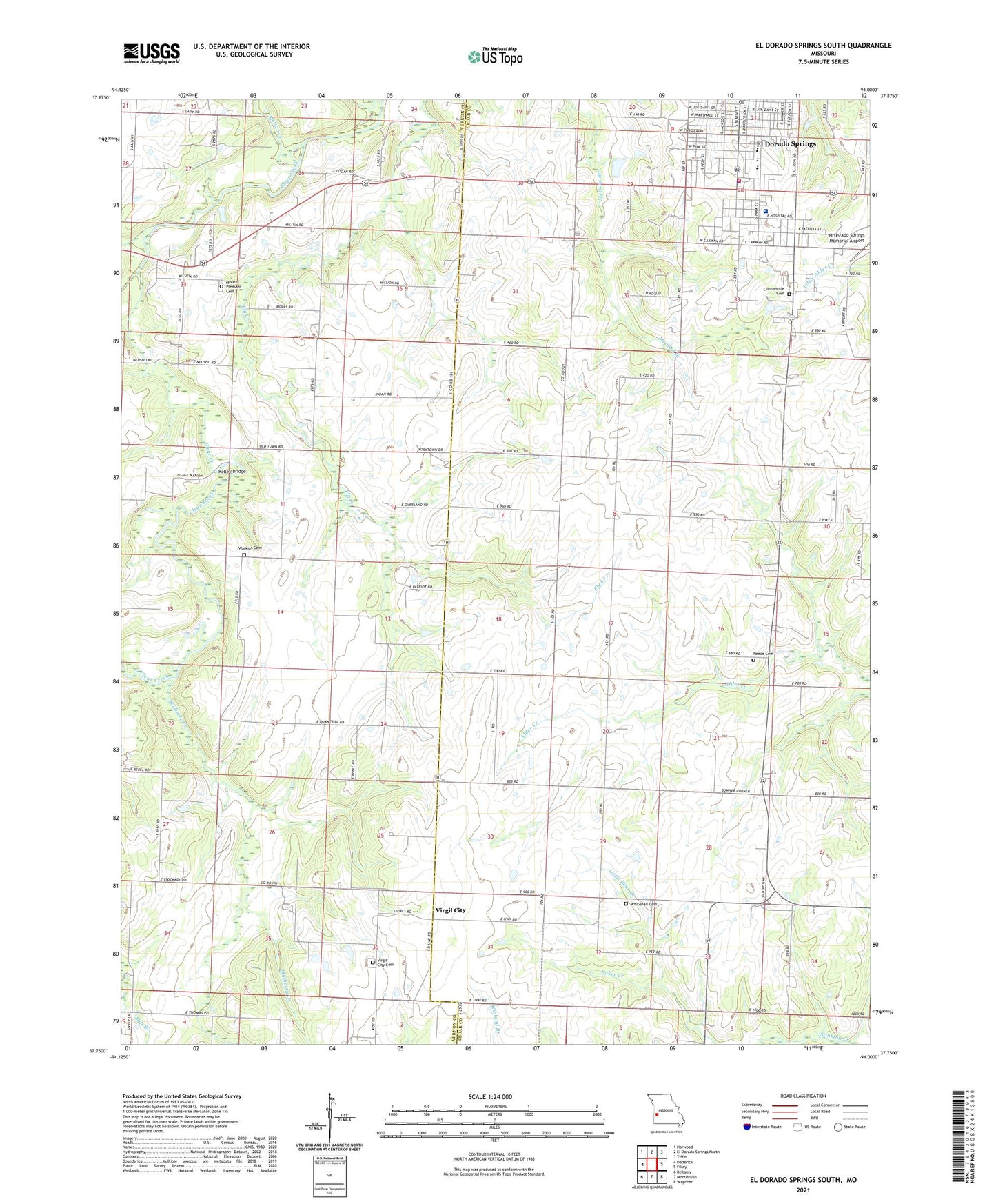
2021 topographic map quadrangle El Dorado Springs South in the state of Missouri. Scale: 1:24000. Based on the newly updated USGS 7.5' US Topo map series, this map is in the following counties: Cedar, Vernon. The map contains contour data, water features, and other items you are used to seeing on USGS maps, but also has updated roads and other features. This is the next generation of topographic maps. Printed on high-quality waterproof paper with UV fade-resistant inks.
Quads adjacent to this one:
West: Dederick
Northwest: Harwood
North: El Dorado Springs North
Northeast: Tiffin
East: Filley
Southeast: Wagoner
South: Montevallo
Southwest: Bellamy
This map covers the same area as the classic USGS quad with code o37094g1.
Contains the following named places: Assembly of God Church, Baker Creek, Bethel Free Will Baptist Church, Cedar County Memorial Hospital, City of El Dorado Springs, Clintonville Cemetery, Clintonville School, El Dorado Springs Elementary School, El Dorado Springs High School, El Dorado Springs Middle School, El Dorado Springs Police Department, El Dorado Springs Post Office, El Dorado Springs Volunteer Fire Department, El Dorado Springs Volunteer Fire Department Rural Station, First Baptist Church, Fly Creek School, Holiness Church of God, Keck School, Kelley Bridge, KESM-AM (Eldorado Springs), KESM-FM (Eldorado Springs), Land O'Lakes Fairground, Liberty Hall School, Melton Creek, Missouri Department of Conservation Forestry Kansas City Regional Field Fire Office Eldorado Springs, Mount Pleasant Cemetery, Mulberry Creek, Nine Wonders School, Number 636 Dam, Oak Grove School, Park Street Christian Church, Pashaw, Pleasant Valley School, Reece Cemetery, Sulphur Springs Baptist Church, Union Church, Union Hall Church, Union Hall School, Virgil City, Virgil City Cemetery, Virgil City School, Warkins Cemetery, West Fork Clear Creek, White Hall Church, White Hall School, Whitehall Cemetery


