MyTopo
Dederick Missouri US Topo Map
Couldn't load pickup availability
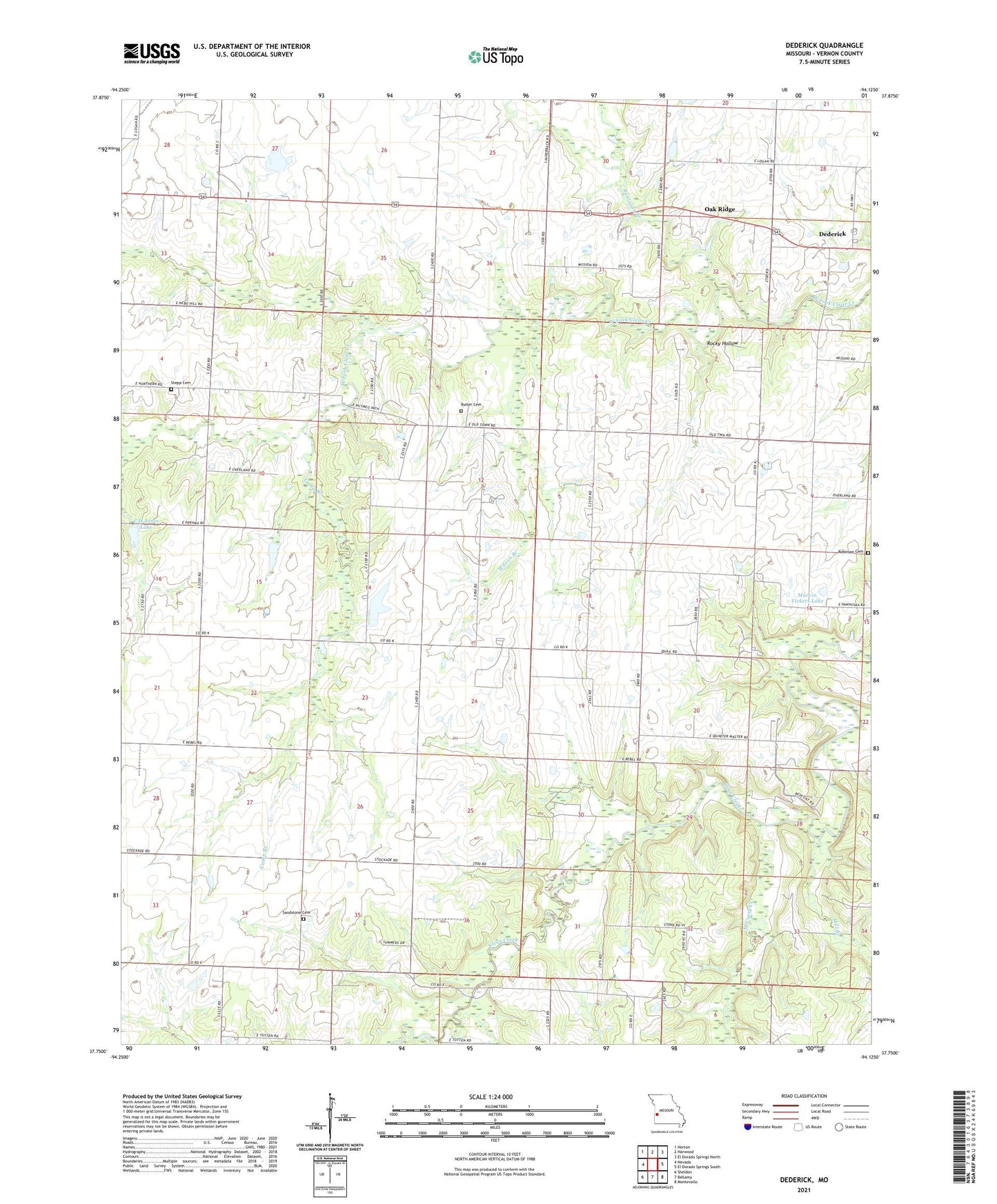
2021 topographic map quadrangle Dederick in the state of Missouri. Scale: 1:24000. Based on the newly updated USGS 7.5' US Topo map series, this map is in the following counties: Vernon. The map contains contour data, water features, and other items you are used to seeing on USGS maps, but also has updated roads and other features. This is the next generation of topographic maps. Printed on high-quality waterproof paper with UV fade-resistant inks.
Quads adjacent to this one:
West: Nevada
Northwest: Horton
North: Harwood
Northeast: El Dorado Springs North
East: El Dorado Springs South
Southeast: Montevallo
South: Bellamy
Southwest: Sheldon
This map covers the same area as the classic USGS quad with code o37094g2.
Contains the following named places: Badger School, Butler Cemetery, C H Jones Dam, C H Jones Lake, Camp Branch, Culbertson Mine, Dederick, Dederick Christian Church, Dederick School, Foreman Lake Dam, Frazier School, Glennwood School, Green Springs School, Green Top School, Greene Springs, Handley Prairie, Marvin Vickers Dam, Marvin Vickers Lake, McCarty Creek, Mill Branch, Mobley School, Number 202 Dam, Number 310 Dam, Oak Ridge, Robinson Branch, Robinson Cemetery, Rocky Hollow, Round Prairie School, Sandstone, Sandstone Cemetery, Sandstone Post Office, Sandstone School, Star School, Stepp Cemetery, Township of Badger, Township of Virgil, Willow Grove School, Wilson Branch


