MyTopo
Exeter Missouri US Topo Map
Couldn't load pickup availability
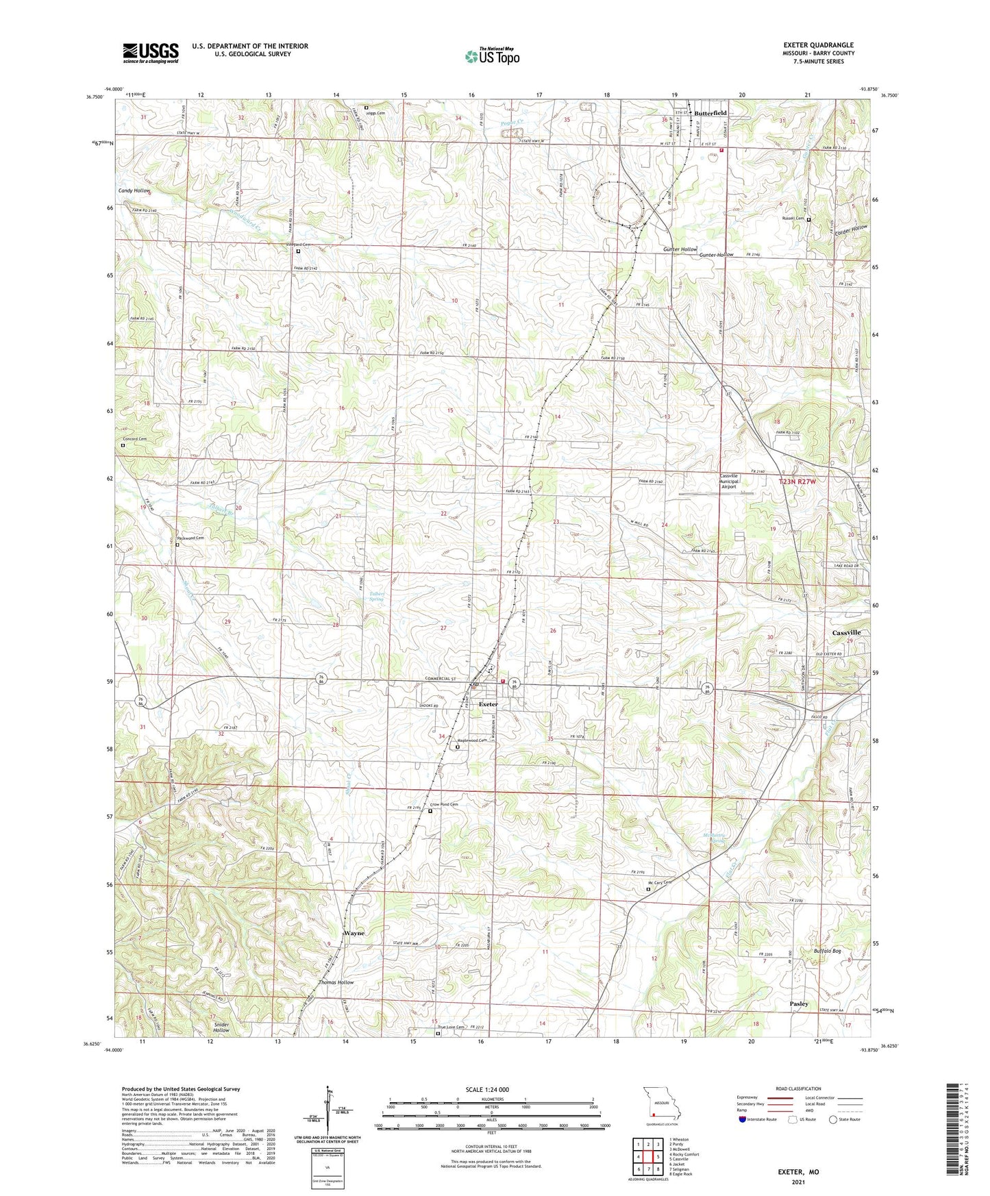
2021 topographic map quadrangle Exeter in the state of Missouri. Scale: 1:24000. Based on the newly updated USGS 7.5' US Topo map series, this map is in the following counties: Barry. The map contains contour data, water features, and other items you are used to seeing on USGS maps, but also has updated roads and other features. This is the next generation of topographic maps. Printed on high-quality waterproof paper with UV fade-resistant inks.
Quads adjacent to this one:
West: Rocky Comfort
Northwest: Wheaton
North: Purdy
Northeast: McDowell
East: Cassville
Southeast: Eagle Rock
South: Seligman
Southwest: Jacket
Contains the following named places: Antioch Church, Buffalo Bog, Butterfield Fire and Rescue, Butterfield School, Calvary Church, Candy Hollow, Cassville Municipal Airport, City of Butterfield, City of Exeter, Concord Cemetery, Concord Church, Crow Pond Cemetery, Doss School, Exeter, Exeter Elementary School, Exeter Fire Protection District, Exeter High School, Exeter Police Department, Exeter Post Office, Hazel Dell School, House School, Independence School, Maplewood Cemetery, Mc Cary Cemetery, McMurtry Spring, Packwood Cemetery, Pasley, Pasley School, Russell Cemetery, Shady Grove School, Stony Point School, Talbert Branch, Talbert Spring, Township of Butterfield, Township of Exeter, True Love Cemetery, Van Zandt School, Vineyard Cemetery, Wayne, Wayne School, ZIP Code: 65623