MyTopo
Flat River Missouri US Topo Map
Couldn't load pickup availability
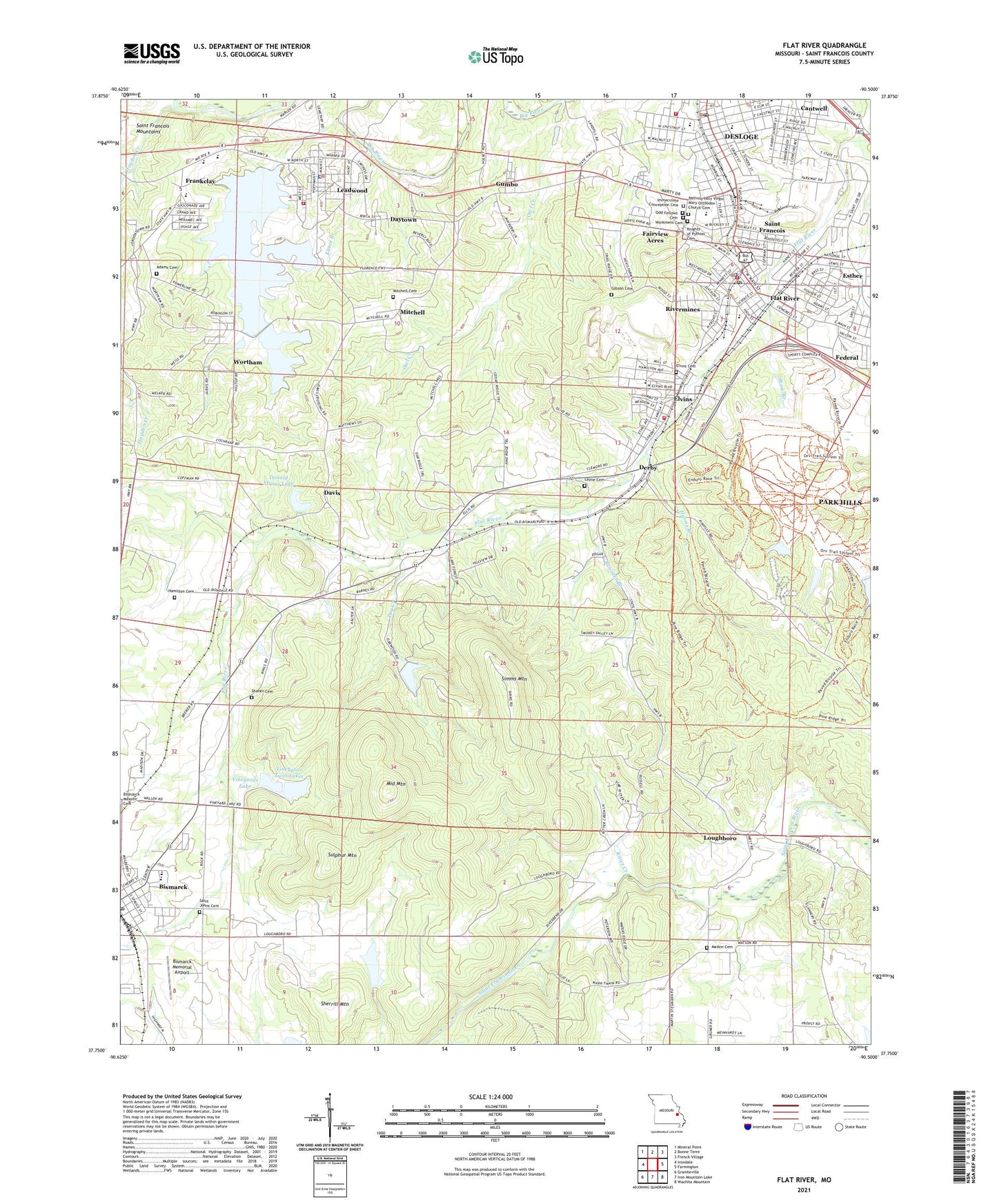
2021 topographic map quadrangle Flat River in the state of Missouri. Scale: 1:24000. Based on the newly updated USGS 7.5' US Topo map series, this map is in the following counties: St. Francois. The map contains contour data, water features, and other items you are used to seeing on USGS maps, but also has updated roads and other features. This is the next generation of topographic maps. Printed on high-quality waterproof paper with UV fade-resistant inks.
Quads adjacent to this one:
West: Irondale
Northwest: Mineral Point
North: Bonne Terre
Northeast: French Village
East: Farmington
Southeast: Wachita Mountain
South: Iron Mountain Lake
Southwest: Graniteville
This map covers the same area as the classic USGS quad with code o37090g5.
Contains the following named places: Adams Cemetery, Baker Mine, Banister Branch, Bismarck, Bismarck Memorial Airport, Bismarck Post Office, Cantwell, City of Bismarck, City of Leadwood, City of Park Hills, Davis, Davis Crossing School, Daytown, Derby, Derby Lead Mine, Desloge, Desloge Post Office, Desloge Volunteer Fire Department, Donald Straus Lake, Donale Straus Lake Dam, Dry Creek, East Flat River, Eaton Branch, Eaton Dam, Eaton Lake, Elvins, Eugene Field School, Fairview Acres, Federal, Flat Lead Mine, Flat River, Frankclay, Frankclay Census Designated Place, Gibson Cemetery, Gumbo, Gumbo School, Hamilton Cemetery, Harris Branch, Hunt Mine, Huntington, Hunts Ford, KFMO-AM (Flat River), Knights of Pythias Cemetery, Koen Creek, Labruyere Park, Layne Cemetery, Leadwood, Leadwood Fire Protection District, Leadwood Police Department, Leadwood Tailings Dam, Leadwood Tailings Pond, Loughboro, Matkin Cemetery, Middle Mountain, Mitchell, Mitchell Cemetery, Mitchell School, Nativity Holy Virgin Mary Orthodox Church Cemetery, Owl Creek, Park Hills, Park Hills Fire Department Station 1, Park Hills Fire Department Station 2, Park Hills Police Department, Park Hills Post Office, Pim Mine, Ritter Creek, Rivermines, Sacred Heart Catholic Church, Saint Francois, Saint Francois Missionary Baptist Church, Saint Joe State Park, Saint Joe State Park Dam, Saint Johns Cemetery, Shaner Cemetery, Shaw Branch, Sherrill Mountain, Simms Mountain, Slime Pond, Sulphur Mountain, Township of Randolph, Vineyards Lake, Vineyards Twin Lakes, Vineyards Twin Lakes Lower Dam, Vineyards Twin Lakes Upper Dam, West Elvins, Workmens Cemetery, Wortham, Wortham Census Designated Place, ZIP Codes: 63601, 63653