MyTopo
Gallatin Missouri US Topo Map
Couldn't load pickup availability
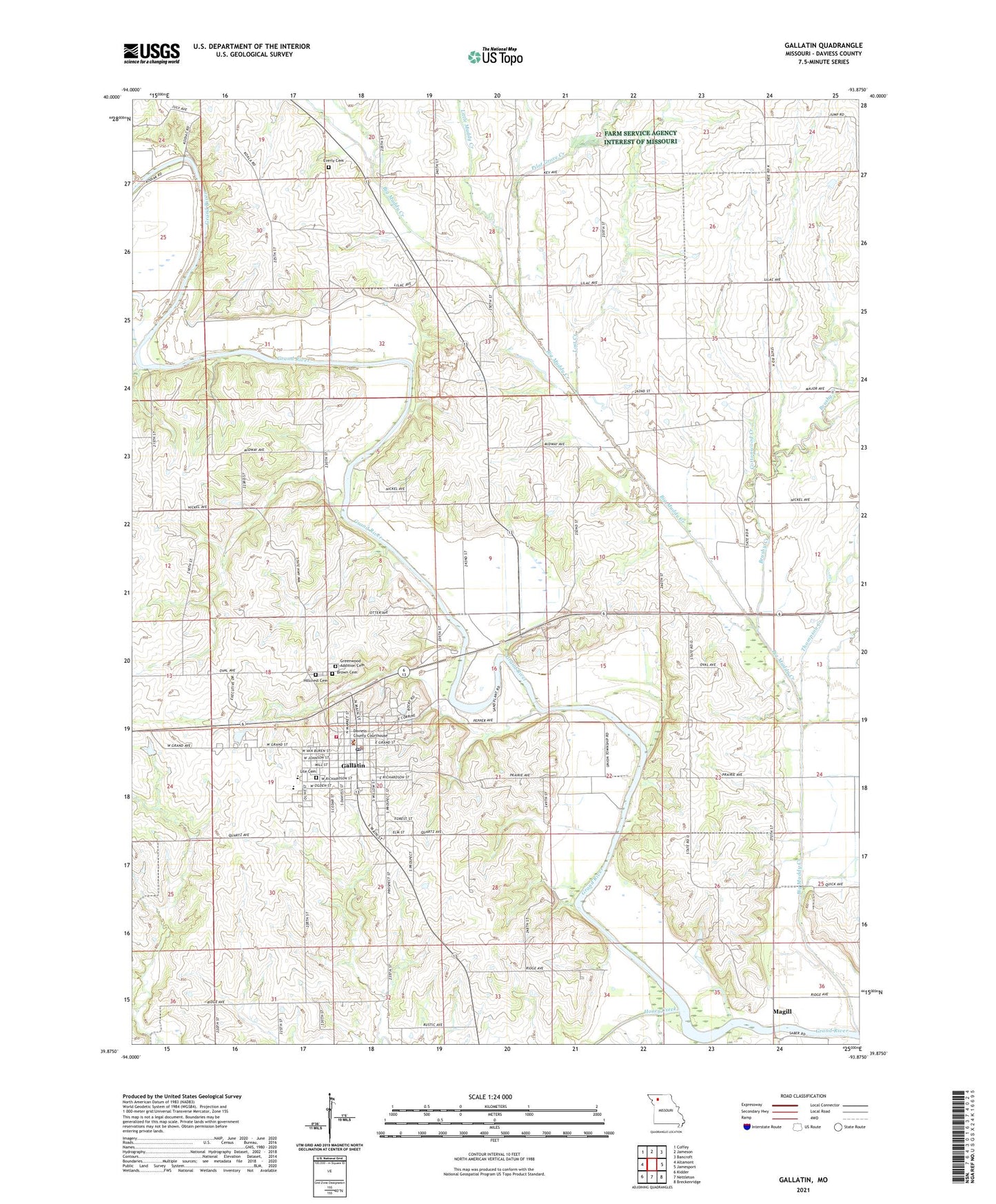
2021 topographic map quadrangle Gallatin in the state of Missouri. Scale: 1:24000. Based on the newly updated USGS 7.5' US Topo map series, this map is in the following counties: Daviess. The map contains contour data, water features, and other items you are used to seeing on USGS maps, but also has updated roads and other features. This is the next generation of topographic maps. Printed on high-quality waterproof paper with UV fade-resistant inks.
Quads adjacent to this one:
West: Altamont
Northwest: Coffey
North: Jameson
Northeast: Bancroft
East: Jamesport
Southeast: Breckenridge
South: Nettleton
Southwest: Kidder
Contains the following named places: Big Muddy Creek, Brushy Creek, Calfpen School, Centenary Church, City of Gallatin, Cottonwood Creek, Cottonwood School, Covel D Searcy Elementary School, Daviess County, Daviess County Sheriff's Office, Everly Cemetery, Gallatin, Gallatin Fire Protection District, Gallatin High School, Gallatin Police Department, Gallatin Post Office, Goodbar School, Greenwood Addition Cemetery, Hillcrest Cemetery, Holmes Bend Public Access, Honey Creek, Johnson School, Larry Creek, Little Muddy Creek, Lost Creek, Magill, Pattonsburg Lake, Pilot Grove Creek, Pleasant Grove School, Splawn Ridge School, Thompson Creek, Township of Union, Wabash Crossing, Wabash Crossing Public Access, ZIP Code: 64640