MyTopo
Hornersville Missouri US Topo Map
Couldn't load pickup availability
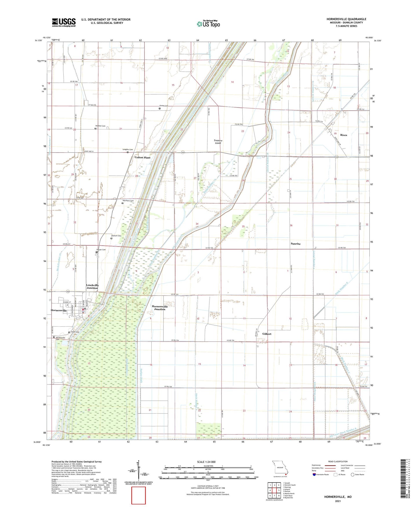
2021 topographic map quadrangle Hornersville in the state of Missouri. Scale: 1:24000. Based on the newly updated USGS 7.5' US Topo map series, this map is in the following counties: Dunklin. The map contains contour data, water features, and other items you are used to seeing on USGS maps, but also has updated roads and other features. This is the next generation of topographic maps. Printed on high-quality waterproof paper with UV fade-resistant inks.
Quads adjacent to this one:
West: Arbyrd
Northwest: Senath
North: Kennett South
Northeast: Deering
East: Denton
Southeast: Blytheville
South: Half Moon
Southwest: Manila North
This map covers the same area as the classic USGS quad with code o36090a1.
Contains the following named places: Bone Cemetery, Branum Cemetery, Branums Point, City of Hornersville, Cotton Plant, Cotton Plant School, Ditch Number 2, Ditch Number 3, Ditch Number 35, Ditch Number 5, Ditch Number 6, Ditch Number 79, Ditch Number 8, Ditch Number 80, Elk Chute Ditch, Elk Chute Ditch Number 8, Elk Chute Levee, Finley Cemetery, Gilbert, Grand Prairie, Harkeys Cemetery, Harkeys Chapel, Horner Cemetery, Hornersville, Hornersville Cemetery, Hornersville Fire Department, Hornersville Gage, Hornersville Junction, Hornersville Police Department, Hornersville Post Office, Hornersville Swamp State Wildlife Area, Huckin, Hutchens Cemetery, Langdon Cemetery, Lateral Number 10, Lateral Number 18, Lateral Number 19, Lateral Number 27, Lateral Number 4, Leachville Junction, Nesbit Church, Nesbit School, Oak Grove Church, Old Channel Little River, Phillips Church, Reynolds Landing Strip, Rives, Sand Slough Ditch, Sunrise, Surface Ditch, Thompson School, Town of Rives, Township of Clay, Treasure Island, Warbler Woods State Natural Area, ZIP Code: 63855