MyTopo
Senath Missouri US Topo Map
Couldn't load pickup availability
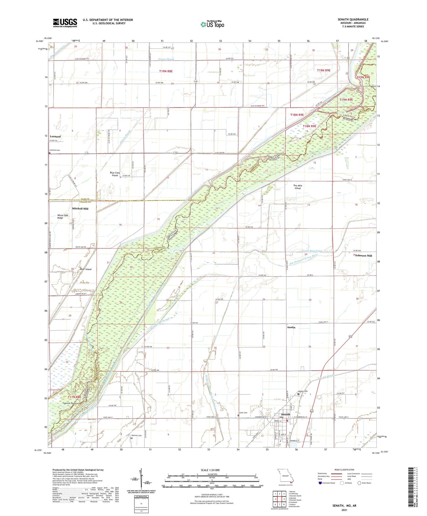
2021 topographic map quadrangle Senath in the states of Missouri, Arkansas. Scale: 1:24000. Based on the newly updated USGS 7.5' US Topo map series, this map is in the following counties: Dunklin, Clay, Greene. The map contains contour data, water features, and other items you are used to seeing on USGS maps, but also has updated roads and other features. This is the next generation of topographic maps. Printed on high-quality waterproof paper with UV fade-resistant inks.
Quads adjacent to this one:
West: Mounds
Northwest: Rector
North: Greenway
Northeast: Kennett North
East: Kennett South
Southeast: Hornersville
South: Arbyrd
Southwest: Cardwell
This map covers the same area as the classic USGS quad with code o36090b2.
Contains the following named places: Allen Island, Allen Island Church, Allen Island School, Austin, Austin School, Aviation Landing Strip, Bear Island, Beech Corner School, Ben Cash Memorial State Wildlife Area, Bethel Church, Bible Grove Church, Blue Cane Chapel, Blue Cane Island, Buffalo Ditch Number 39, City of Senath, Cypress Point, Ditch Number 34, Ditch Number 5, Drag Over, Grassy Slough, Hickory Donnick, Holly Island Gage, Johnson Mill, KTMO-FM (Kennett), Lanier Cemetery, Leonard, Leonard Cemetery, Leonard Church, Main Ditch, McGrew Cemetery, Mill Town Church, Mitchell Mill, Octa Church, Old Channel Varney River, Pentecost Church, Pole Cat Island, Senath, Senath Cemetery, Senath Fire Department, Senath Police Department, Senath Post Office, Simmons Church, Skelton Landing Strip, Tar Blanket Lodge, Township of Blue Cane, Two Mile Island, Ward School, White Oak, White Oak Church, White Oak Ridge, White Oak School, ZIP Code: 63876


