MyTopo
McGee Missouri US Topo Map
Couldn't load pickup availability
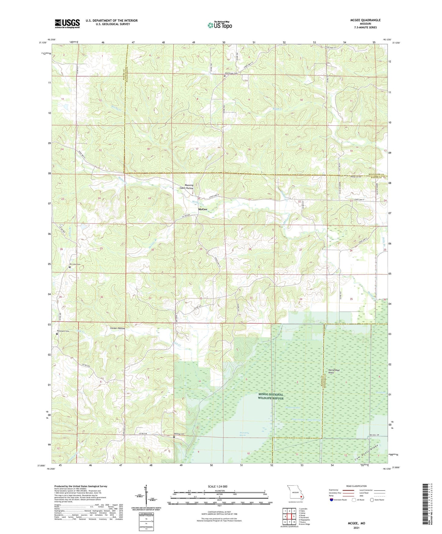
2021 topographic map quadrangle McGee in the state of Missouri. Scale: 1:24000. Based on the newly updated USGS 7.5' US Topo map series, this map is in the following counties: Wayne, Bollinger, Stoddard. The map contains contour data, water features, and other items you are used to seeing on USGS maps, but also has updated roads and other features. This is the next generation of topographic maps. Printed on high-quality waterproof paper with UV fade-resistant inks.
Quads adjacent to this one:
West: Shook
Northwest: Lowndes
North: Gipsy
Northeast: Zalma
East: Sturdivant
Southeast: Acorn Ridge
South: Puxico
Southwest: Wappapello
Contains the following named places: Bright Prospect Church, Corinth Church, De Celis Cemetery, DeCelis Branch, Ditch Number 2, Ditch Number 3, Ditch Number 4, Drum Dam, Drum Lake, Fish School, Flatwood School, Fox Pond, Fry School, Frye Church, Gribler Creek, Gumstump Pool, Gypsy Lookout Tower, Horsehead Knoll, Johns Branch, Lick Creek, Lurker Hollow, Manning Cabin Hollow, May Pond, McGee, McGee Creek, McGee Gate Hunters Entrance, McGee School, Mingo Refuge Fox Pond Dam, Mingo Swamp, Monopoly Marsh, Mount Pleasant Church, Mulenex Lake, Mulenex Lake Dam, New Home Church, New Hope Church, Pioneer Church, Puxico Quad Number 1 Dam, Richmann Cemetery, Richmann Chapel, Rocky Creek, Shady Dell Church, Stilts Branch, Stilts School, Sweet Asylum Hollow Dam, Sweet Asylum Hollow Lake, Township of Jefferson, Wilfong Cemetery, ZIP Codes: 63763, 63787